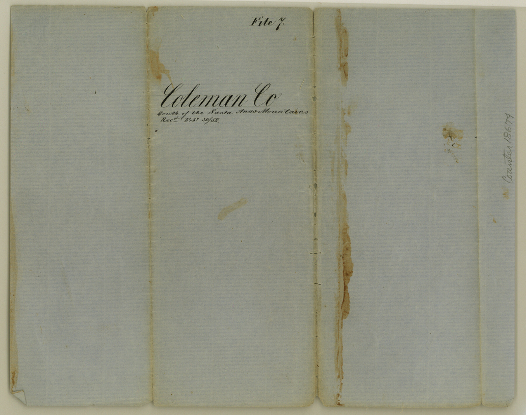
Coleman County Sketch File 7
[Jacket only]
-
Map/Doc
18674
-
Collection
General Map Collection
-
Object Dates
1858/2/20 (File Date)
-
Counties
Coleman
-
Subjects
Surveying Sketch File
-
Height x Width
8.2 x 10.3 inches
20.8 x 26.2 cm
-
Medium
paper, manuscript
-
Features
[Santa Anas Mountains]
Part of: General Map Collection
Henderson County Rolled Sketch 11

Print $20.00
- Digital $50.00
Henderson County Rolled Sketch 11
1915
Size 29.3 x 42.6 inches
Map/Doc 75953
Jack County Sketch File 11

Print $4.00
- Digital $50.00
Jack County Sketch File 11
1858
Size 10.2 x 8.1 inches
Map/Doc 27531
Matagorda County

Print $40.00
- Digital $50.00
Matagorda County
1920
Size 39.7 x 49.1 inches
Map/Doc 77368
Flight Mission No. DQN-7K, Frame 7, Calhoun County

Print $20.00
- Digital $50.00
Flight Mission No. DQN-7K, Frame 7, Calhoun County
1953
Size 18.5 x 22.2 inches
Map/Doc 84458
Mills County Boundary File 4

Print $40.00
- Digital $50.00
Mills County Boundary File 4
Size 52.1 x 13.3 inches
Map/Doc 57293
Kenedy County Rolled Sketch 9

Print $20.00
- Digital $50.00
Kenedy County Rolled Sketch 9
Size 27.1 x 41.7 inches
Map/Doc 6469
Culberson County Working Sketch 6

Print $20.00
- Digital $50.00
Culberson County Working Sketch 6
1911
Size 33.2 x 44.1 inches
Map/Doc 68458
Panola County Working Sketch 1

Print $20.00
- Digital $50.00
Panola County Working Sketch 1
1917
Map/Doc 71410
Texas, Corpus Christi Bay, Nueces Bay

Print $40.00
- Digital $50.00
Texas, Corpus Christi Bay, Nueces Bay
1934
Size 34.0 x 48.9 inches
Map/Doc 73458
Reeves County Rolled Sketch 14

Print $20.00
- Digital $50.00
Reeves County Rolled Sketch 14
Size 17.7 x 21.8 inches
Map/Doc 7482
Upton County Sketch File 18

Print $20.00
- Digital $50.00
Upton County Sketch File 18
1927
Size 18.9 x 29.4 inches
Map/Doc 12514
Mason County Rolled Sketch 2

Print $20.00
- Digital $50.00
Mason County Rolled Sketch 2
1952
Size 32.9 x 26.7 inches
Map/Doc 6675
You may also like
Armstrong County

Print $20.00
- Digital $50.00
Armstrong County
1879
Size 21.6 x 19.2 inches
Map/Doc 3242
Carta Hidrografica

Print $20.00
- Digital $50.00
Carta Hidrografica
1897
Size 26.0 x 34.3 inches
Map/Doc 96803
English Field Notes of the Spanish Archives - Book 7

English Field Notes of the Spanish Archives - Book 7
1835
Map/Doc 96533
Flight Mission No. DQO-8K, Frame 67, Galveston County

Print $20.00
- Digital $50.00
Flight Mission No. DQO-8K, Frame 67, Galveston County
1952
Size 18.9 x 22.4 inches
Map/Doc 85171
The Republic County of Travis. Refined, February 5, 1840

Print $20.00
The Republic County of Travis. Refined, February 5, 1840
2020
Size 20.8 x 21.6 inches
Map/Doc 96290
La Salle County Sketch File 28

Print $6.00
- Digital $50.00
La Salle County Sketch File 28
1882
Size 8.7 x 3.6 inches
Map/Doc 29555
Val Verde County Working Sketch 26

Print $20.00
- Digital $50.00
Val Verde County Working Sketch 26
1936
Size 22.9 x 31.5 inches
Map/Doc 72161
Lampasas County Sketch File 7

Print $4.00
- Digital $50.00
Lampasas County Sketch File 7
1871
Size 8.4 x 8.2 inches
Map/Doc 29402
[J. Poitevent Block 2, T. T. RR. Block 2, C. C. Slaughter Block 1]
![90619, [J. Poitevent Block 2, T. T. RR. Block 2, C. C. Slaughter Block 1], Twichell Survey Records](https://historictexasmaps.com/wmedia_w700/maps/90619-1.tif.jpg)
Print $2.00
- Digital $50.00
[J. Poitevent Block 2, T. T. RR. Block 2, C. C. Slaughter Block 1]
Size 9.1 x 11.7 inches
Map/Doc 90619
Somervell County

Print $20.00
- Digital $50.00
Somervell County
1884
Size 29.5 x 31.3 inches
Map/Doc 63041
Angelina County Boundary File 1

Print $16.00
- Digital $50.00
Angelina County Boundary File 1
Size 12.9 x 8.3 inches
Map/Doc 49765
El Paso County Rolled Sketch 36

Digital $50.00
El Paso County Rolled Sketch 36
Size 43.3 x 77.6 inches
Map/Doc 8863