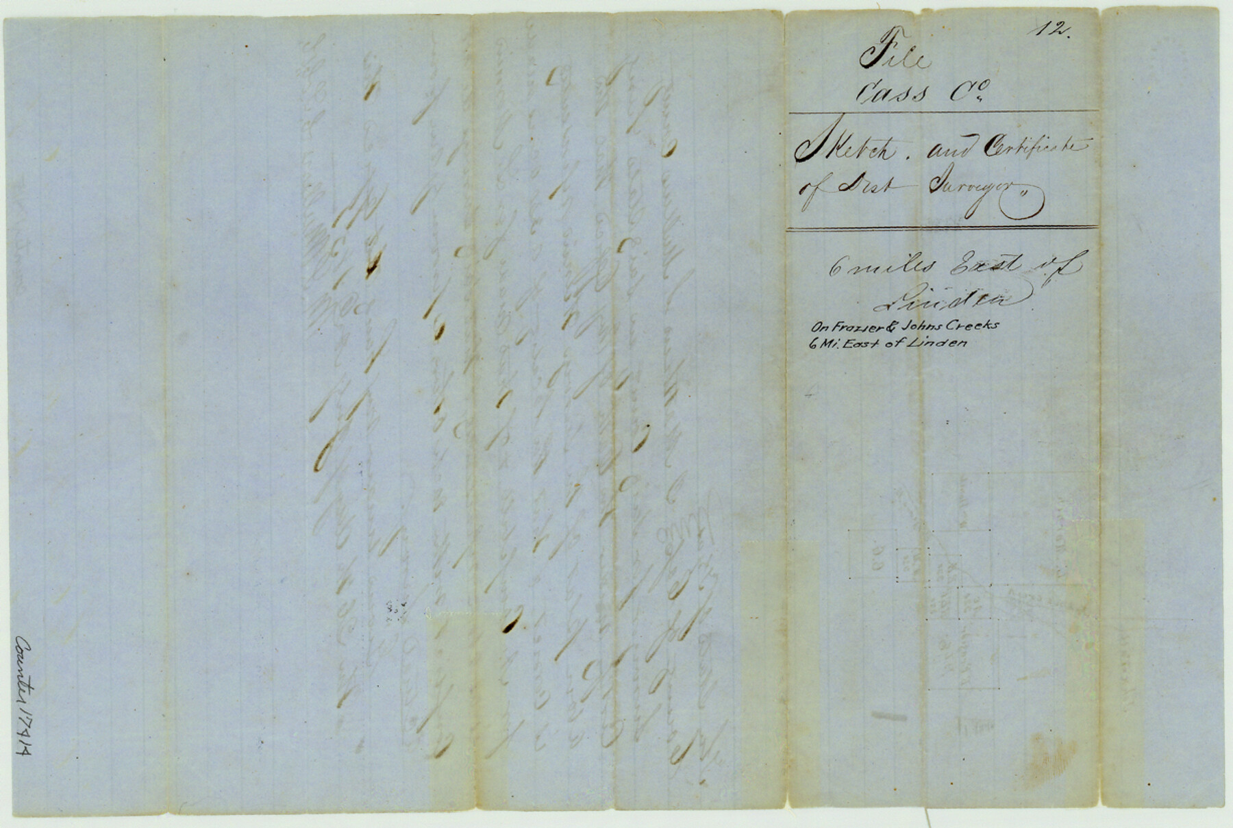
Cass County Sketch File 12
[Sketch of surveys near Frazier Creek and Johns Creek]
-
Map/Doc
17414
-
Collection
General Map Collection
-
Object Dates
1851/7/26 (Creation Date)
-
People and Organizations
Matthew S. Mullens (Surveyor/Engineer)
-
Counties
Cass
-
Subjects
Surveying Sketch File
-
Height x Width
8.2 x 12.3 inches
20.8 x 31.2 cm
-
Medium
paper, manuscript
-
Features
Johns Creek
Fraziers Creek
Part of: General Map Collection
Flight Mission No. DQN-1K, Frame 117, Calhoun County

Print $20.00
- Digital $50.00
Flight Mission No. DQN-1K, Frame 117, Calhoun County
1953
Size 18.5 x 22.2 inches
Map/Doc 84183
Flight Mission No. CGI-1N, Frame 170, Cameron County

Print $20.00
- Digital $50.00
Flight Mission No. CGI-1N, Frame 170, Cameron County
1955
Size 18.5 x 22.1 inches
Map/Doc 84505
Southern Part of Laguna Madre

Print $20.00
- Digital $50.00
Southern Part of Laguna Madre
1975
Size 45.1 x 35.0 inches
Map/Doc 73545
Flight Mission No. CGI-4N, Frame 165, Cameron County

Print $20.00
- Digital $50.00
Flight Mission No. CGI-4N, Frame 165, Cameron County
1955
Size 18.4 x 22.3 inches
Map/Doc 84673
Presidio County Rolled Sketch 144

Print $20.00
- Digital $50.00
Presidio County Rolled Sketch 144
2010
Size 36.0 x 24.0 inches
Map/Doc 89602
Flight Mission No. CLL-3N, Frame 10, Willacy County

Print $20.00
- Digital $50.00
Flight Mission No. CLL-3N, Frame 10, Willacy County
1954
Size 18.5 x 22.2 inches
Map/Doc 87076
Brazoria County Rolled Sketch 25

Print $40.00
- Digital $50.00
Brazoria County Rolled Sketch 25
1935
Size 50.8 x 33.5 inches
Map/Doc 8928
Flight Mission No. BRA-8M, Frame 66, Jefferson County

Print $20.00
- Digital $50.00
Flight Mission No. BRA-8M, Frame 66, Jefferson County
1953
Size 18.6 x 22.1 inches
Map/Doc 85586
Kleberg County Rolled Sketch 10-1

Print $20.00
- Digital $50.00
Kleberg County Rolled Sketch 10-1
1951
Size 36.9 x 32.2 inches
Map/Doc 9383
Map of east part of West Bay & SW part of Galveston Bay, Galveston County showing subdivision for mineral development

Print $20.00
- Digital $50.00
Map of east part of West Bay & SW part of Galveston Bay, Galveston County showing subdivision for mineral development
1951
Size 32.6 x 37.6 inches
Map/Doc 2975
Cooke County Working Sketch 5

Print $20.00
- Digital $50.00
Cooke County Working Sketch 5
1928
Size 16.1 x 17.2 inches
Map/Doc 68242

You may also like
Gregg County Working Sketch 14

Print $20.00
- Digital $50.00
Gregg County Working Sketch 14
1941
Size 29.7 x 39.5 inches
Map/Doc 63281
Colorado County Sketch File 21

Print $8.00
- Digital $50.00
Colorado County Sketch File 21
Size 13.1 x 8.8 inches
Map/Doc 18957
United States - Gulf Coast - From Latitude 26° 33' to the Rio Grande Texas

Print $20.00
- Digital $50.00
United States - Gulf Coast - From Latitude 26° 33' to the Rio Grande Texas
1919
Size 27.5 x 18.3 inches
Map/Doc 72855
Zavala County Rolled Sketch 32

Print $20.00
- Digital $50.00
Zavala County Rolled Sketch 32
Size 22.5 x 38.2 inches
Map/Doc 8333
Right of Way and Track Map International & Gt. Northern Ry. operated by the International & Gt. Northern Ry. Co., Gulf Division, Columbia Branch

Print $40.00
- Digital $50.00
Right of Way and Track Map International & Gt. Northern Ry. operated by the International & Gt. Northern Ry. Co., Gulf Division, Columbia Branch
1917
Size 25.1 x 57.0 inches
Map/Doc 64600
[Sections 69-84 Block 47 and part of Block 3]
![91795, [Sections 69-84 Block 47 and part of Block 3], Twichell Survey Records](https://historictexasmaps.com/wmedia_w700/maps/91795-1.tif.jpg)
Print $2.00
- Digital $50.00
[Sections 69-84 Block 47 and part of Block 3]
Size 14.3 x 8.9 inches
Map/Doc 91795
Cottle County Sketch File H

Print $12.00
- Digital $50.00
Cottle County Sketch File H
1976
Size 11.2 x 8.7 inches
Map/Doc 19451
Kenedy County Aerial Photograph Index Sheet 2

Print $20.00
- Digital $50.00
Kenedy County Aerial Photograph Index Sheet 2
1943
Size 23.1 x 19.3 inches
Map/Doc 83714
Hamilton County Rolled Sketch 13

Print $20.00
- Digital $50.00
Hamilton County Rolled Sketch 13
1982
Size 34.0 x 28.0 inches
Map/Doc 6062
Carson County Boundary File 8a

Print $40.00
- Digital $50.00
Carson County Boundary File 8a
Size 12.5 x 34.7 inches
Map/Doc 51173
[Sections 63-70 Block 47 and part of Block 3]
![91792, [Sections 63-70 Block 47 and part of Block 3], Twichell Survey Records](https://historictexasmaps.com/wmedia_w700/maps/91792-1.tif.jpg)
Print $2.00
- Digital $50.00
[Sections 63-70 Block 47 and part of Block 3]
Size 8.9 x 14.5 inches
Map/Doc 91792
Hopkins County Sketch File 7

Print $6.00
- Digital $50.00
Hopkins County Sketch File 7
Size 10.4 x 6.1 inches
Map/Doc 26692