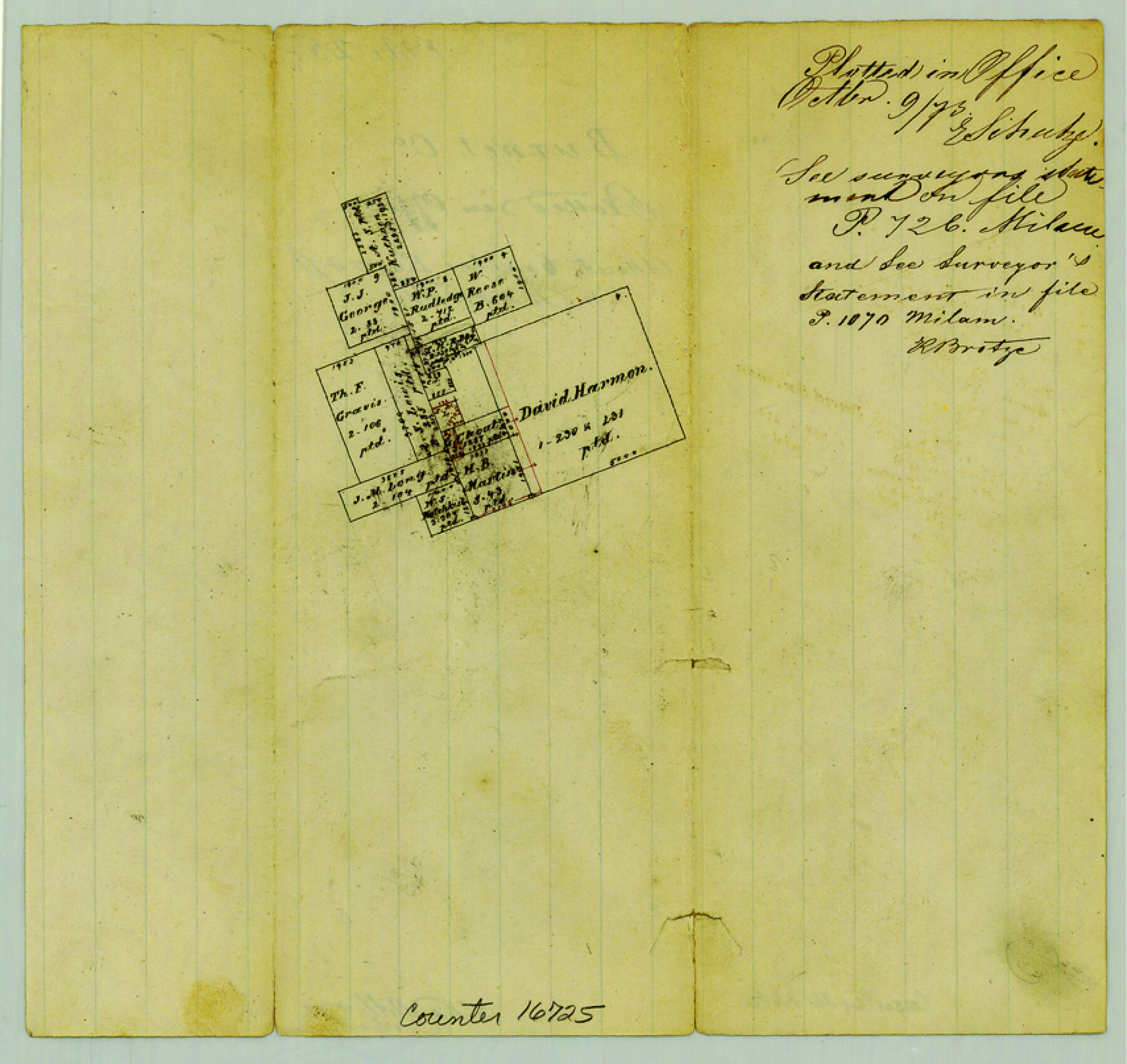
Burnet County Sketch File 25
[Office sketch of area due east of Burnet near the David Harmon league]
-
Map/Doc
16725
-
Collection
General Map Collection
-
Object Dates
1873/10/9 (Creation Date)
1873/10/9 (File Date)
-
People and Organizations
E. Schutze (Draftsman)
-
Counties
Burnet
-
Subjects
Surveying Sketch File
-
Height x Width
8.1 x 8.6 inches
20.6 x 21.8 cm
-
Medium
paper, manuscript
Part of: General Map Collection
Kinney County Sketch File 22

Print $6.00
- Digital $50.00
Kinney County Sketch File 22
1891
Size 10.1 x 12.3 inches
Map/Doc 29160
Winkler County Sketch File 17

Print $18.00
- Digital $50.00
Winkler County Sketch File 17
1920
Size 14.3 x 8.6 inches
Map/Doc 40508
[John Durst's grant along the Trinity River]
![185, [John Durst's grant along the Trinity River], General Map Collection](https://historictexasmaps.com/wmedia_w700/maps/185.tif.jpg)
Print $2.00
- Digital $50.00
[John Durst's grant along the Trinity River]
Size 12.3 x 8.2 inches
Map/Doc 185
[Sketch for Mineral Application 16696-16697, Pecos River]
![76024, [Sketch for Mineral Application 16696-16697, Pecos River], General Map Collection](https://historictexasmaps.com/wmedia_w700/maps/76024.tif.jpg)
Print $40.00
- Digital $50.00
[Sketch for Mineral Application 16696-16697, Pecos River]
Size 44.0 x 126.6 inches
Map/Doc 76024
Hall County Sketch File 30

Print $6.00
- Digital $50.00
Hall County Sketch File 30
1942
Size 11.3 x 8.9 inches
Map/Doc 24832
Cooke County Working Sketch 13

Print $20.00
- Digital $50.00
Cooke County Working Sketch 13
1944
Size 29.1 x 38.2 inches
Map/Doc 68250

Flight Mission No. CUG-1P, Frame 77, Kleberg County

Print $20.00
- Digital $50.00
Flight Mission No. CUG-1P, Frame 77, Kleberg County
1956
Size 18.4 x 22.1 inches
Map/Doc 86142
Camp County Working Sketch 1

Print $20.00
- Digital $50.00
Camp County Working Sketch 1
1970
Size 32.9 x 29.7 inches
Map/Doc 67877
Bexar County Sketch File 7

Print $4.00
- Digital $50.00
Bexar County Sketch File 7
1861
Size 8.0 x 12.9 inches
Map/Doc 14475
Shackelford County Working Sketch 10

Print $20.00
- Digital $50.00
Shackelford County Working Sketch 10
1984
Size 28.8 x 26.1 inches
Map/Doc 63850
Upshur County Sketch File 15

Print $20.00
- Digital $50.00
Upshur County Sketch File 15
1934
Size 20.7 x 31.2 inches
Map/Doc 12505
You may also like
Flight Mission No. CZW-3R, Frame 82

Print $20.00
- Digital $50.00
Flight Mission No. CZW-3R, Frame 82
1956
Size 18.6 x 22.3 inches
Map/Doc 85240
Kaufman County Rolled Sketch 1

Print $20.00
- Digital $50.00
Kaufman County Rolled Sketch 1
1951
Size 26.4 x 34.8 inches
Map/Doc 6456
Mitchell County Sketch File X

Print $20.00
- Digital $50.00
Mitchell County Sketch File X
1908
Size 29.9 x 17.7 inches
Map/Doc 12104
San Patricio County Boundary File 77

Digital $50.00
San Patricio County Boundary File 77
Map/Doc 81963
Victoria County Rolled Sketch 6

Print $20.00
- Digital $50.00
Victoria County Rolled Sketch 6
Size 27.9 x 36.3 inches
Map/Doc 8152
Hardin County Working Sketch 32

Print $20.00
- Digital $50.00
Hardin County Working Sketch 32
1978
Size 41.7 x 38.0 inches
Map/Doc 63430
English Field Notes of the Spanish Archives - Book 3

English Field Notes of the Spanish Archives - Book 3
1835
Map/Doc 96529
[H. & T. C. RR. Co. Block 48 and vicinity]
![90647, [H. & T. C. RR. Co. Block 48 and vicinity], Twichell Survey Records](https://historictexasmaps.com/wmedia_w700/maps/90647-1.tif.jpg)
Print $20.00
- Digital $50.00
[H. & T. C. RR. Co. Block 48 and vicinity]
Size 35.4 x 24.4 inches
Map/Doc 90647
Dickens County Rolled Sketch P1

Print $20.00
- Digital $50.00
Dickens County Rolled Sketch P1
1915
Size 40.5 x 36.2 inches
Map/Doc 8783
Kerr County Working Sketch 30

Print $20.00
- Digital $50.00
Kerr County Working Sketch 30
1973
Size 29.8 x 28.9 inches
Map/Doc 70061
Val Verde County Rolled Sketch 30

Print $20.00
- Digital $50.00
Val Verde County Rolled Sketch 30
1884
Size 43.8 x 26.4 inches
Map/Doc 8111
Starr County Working Sketch 15

Print $20.00
- Digital $50.00
Starr County Working Sketch 15
1971
Size 34.4 x 37.6 inches
Map/Doc 63931