[Surveys along Rabb's Creek]
Atlas E, Page 5, Sketch 3 (E-5-3)
E-5-3
-
Map/Doc
154
-
Collection
General Map Collection
-
Object Dates
1841 (Creation Date)
-
Counties
Fayette Lee
-
Subjects
Atlas
-
Height x Width
8.7 x 11.0 inches
22.1 x 27.9 cm
-
Medium
paper, manuscript
-
Comments
Conserved in 2004.
-
Features
[Colorado River]
[Robb Creek]
[Ruiz Creek]
[David's Creek]
[Pin Oak Creek]
[Green's Creek]
[Owl Creek]
Part of: General Map Collection
Calhoun County Aerial Photograph Index Sheet 1

Print $20.00
- Digital $50.00
Calhoun County Aerial Photograph Index Sheet 1
1953
Size 23.7 x 19.7 inches
Map/Doc 83670
Township No. 5 South Range No. 11 West of the Indian Meridian


Print $20.00
- Digital $50.00
Township No. 5 South Range No. 11 West of the Indian Meridian
1875
Size 19.3 x 24.3 inches
Map/Doc 75160
Lampasas County Working Sketch 14


Print $20.00
- Digital $50.00
Lampasas County Working Sketch 14
1974
Size 23.4 x 21.8 inches
Map/Doc 70291
Bosque County Sketch File 33

Print $40.00
- Digital $50.00
Bosque County Sketch File 33
Size 16.9 x 33.9 inches
Map/Doc 10939
Colorado County Rolled Sketch 3


Print $20.00
- Digital $50.00
Colorado County Rolled Sketch 3
1943
Size 42.4 x 38.7 inches
Map/Doc 8641
Fort Bend County Rolled Sketch A


Print $20.00
- Digital $50.00
Fort Bend County Rolled Sketch A
1900
Size 19.8 x 29.7 inches
Map/Doc 5903
Bosque County Working Sketch 12


Print $20.00
- Digital $50.00
Bosque County Working Sketch 12
1957
Size 18.3 x 21.8 inches
Map/Doc 67445
Kimble County Working Sketch 89

Print $20.00
- Digital $50.00
Kimble County Working Sketch 89
1979
Size 41.2 x 33.2 inches
Map/Doc 70157
Morris County Rolled Sketch 2A

Print $20.00
- Digital $50.00
Morris County Rolled Sketch 2A
Size 24.0 x 18.7 inches
Map/Doc 10256
Flight Mission No. DQN-7K, Frame 9, Calhoun County
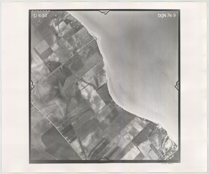

Print $20.00
- Digital $50.00
Flight Mission No. DQN-7K, Frame 9, Calhoun County
1953
Size 18.4 x 22.1 inches
Map/Doc 84460
Palo Pinto County Sketch File 6a
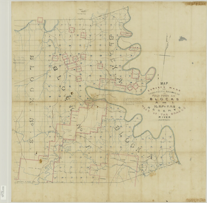

Print $20.00
- Digital $50.00
Palo Pinto County Sketch File 6a
Size 37.8 x 38.6 inches
Map/Doc 10565
Dimmit County Working Sketch 9
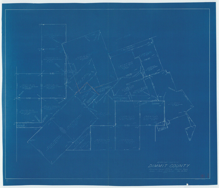

Print $20.00
- Digital $50.00
Dimmit County Working Sketch 9
1934
Size 36.3 x 42.2 inches
Map/Doc 68670
You may also like
Hunt County Sketch File 26
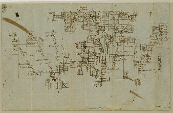

Print $4.00
- Digital $50.00
Hunt County Sketch File 26
1851
Size 8.4 x 12.9 inches
Map/Doc 27124
Flight Mission No. DQN-6K, Frame 88, Calhoun County


Print $20.00
- Digital $50.00
Flight Mission No. DQN-6K, Frame 88, Calhoun County
1953
Size 18.7 x 22.3 inches
Map/Doc 84448
[Jack County School Land, Limestone County School Land and surveys in vicinity]
![90433, [Jack County School Land, Limestone County School Land and surveys in vicinity], Twichell Survey Records](https://historictexasmaps.com/wmedia_w700/maps/90433-1.tif.jpg)
![90433, [Jack County School Land, Limestone County School Land and surveys in vicinity], Twichell Survey Records](https://historictexasmaps.com/wmedia_w700/maps/90433-1.tif.jpg)
Print $3.00
- Digital $50.00
[Jack County School Land, Limestone County School Land and surveys in vicinity]
1892
Size 10.2 x 15.1 inches
Map/Doc 90433
Mineral Plats - Brewster, Culberson and Duval

Mineral Plats - Brewster, Culberson and Duval
Map/Doc 81745
Tyler County Sketch File 24


Print $16.00
- Digital $50.00
Tyler County Sketch File 24
1944
Size 11.2 x 9.0 inches
Map/Doc 38681
Hardin County Sketch File Q-11


Print $20.00
- Digital $50.00
Hardin County Sketch File Q-11
1937
Size 19.9 x 23.8 inches
Map/Doc 11645
Matagorda County Aerial Photograph Index Sheet 4


Print $20.00
- Digital $50.00
Matagorda County Aerial Photograph Index Sheet 4
1953
Size 23.6 x 19.5 inches
Map/Doc 83725
Crosby County Sketch File 12a


Print $20.00
- Digital $50.00
Crosby County Sketch File 12a
1901
Size 21.5 x 30.9 inches
Map/Doc 11248
Galveston Bay Texas Lower Part Encluding [sic] Bar and Entrance
![69869, Galveston Bay Texas Lower Part Encluding [sic] Bar and Entrance, General Map Collection](https://historictexasmaps.com/wmedia_w700/maps/69869-1.tif.jpg)
![69869, Galveston Bay Texas Lower Part Encluding [sic] Bar and Entrance, General Map Collection](https://historictexasmaps.com/wmedia_w700/maps/69869-1.tif.jpg)
Print $40.00
- Digital $50.00
Galveston Bay Texas Lower Part Encluding [sic] Bar and Entrance
1867
Size 52.6 x 39.1 inches
Map/Doc 69869
The United States of North America with the British Territories and Those of Spain, according to the Treaty of 1784
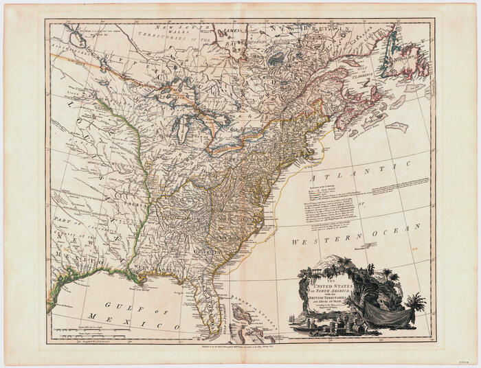

Print $20.00
- Digital $50.00
The United States of North America with the British Territories and Those of Spain, according to the Treaty of 1784
1796
Size 23.6 x 30.8 inches
Map/Doc 95738
Presidio County Working Sketch 72


Print $20.00
- Digital $50.00
Presidio County Working Sketch 72
1962
Size 22.1 x 21.1 inches
Map/Doc 71749
![154, [Surveys along Rabb's Creek], General Map Collection](https://historictexasmaps.com/wmedia_w1800h1800/maps/154.tif.jpg)
