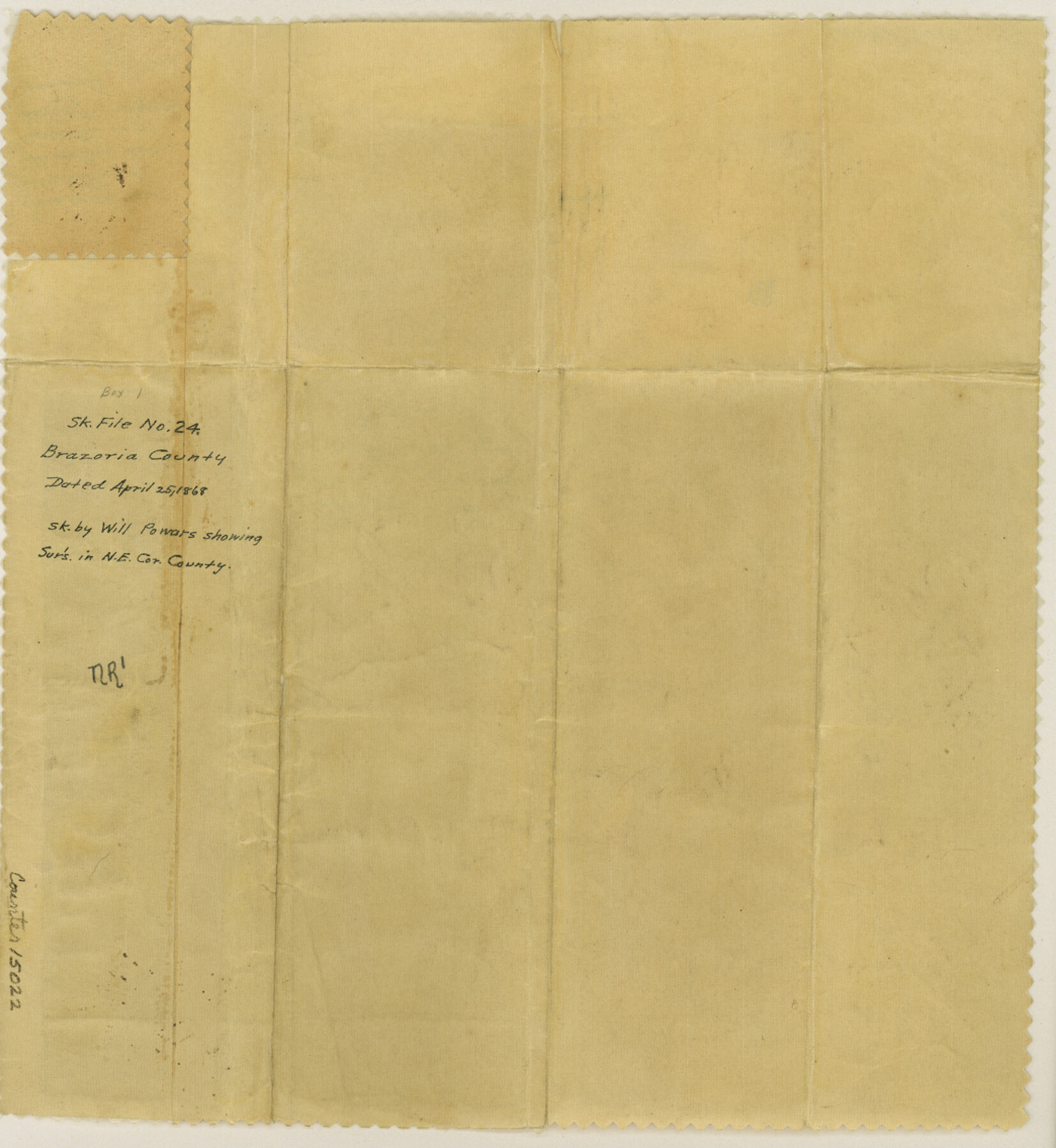
Brazoria County Sketch File 24
[Sketch by Will Powers showing surveys in northeast corner of the county]
-
Map/Doc
15022
-
Collection
General Map Collection
-
Object Dates
1868/4/25 (Creation Date)
-
People and Organizations
Will Powars (Surveyor/Engineer)
-
Counties
Brazoria Harris Fort Bend Galveston
-
Subjects
Surveying Sketch File
-
Height x Width
11.3 x 10.4 inches
28.7 x 26.4 cm
-
Medium
paper, manuscript
-
Features
Clear Creek
Mustang Bayou
Part of: General Map Collection
Polk County Rolled Sketch 31

Print $20.00
- Digital $50.00
Polk County Rolled Sketch 31
Size 24.5 x 21.1 inches
Map/Doc 7317
Live Oak County Working Sketch 31

Print $20.00
- Digital $50.00
Live Oak County Working Sketch 31
1991
Size 22.8 x 25.4 inches
Map/Doc 70616
West Part Presidio Co.

Print $20.00
- Digital $50.00
West Part Presidio Co.
1974
Size 43.2 x 34.3 inches
Map/Doc 95618
Crockett County Rolled Sketch 76

Print $20.00
- Digital $50.00
Crockett County Rolled Sketch 76
1950
Size 24.6 x 26.1 inches
Map/Doc 5617
Gaines County Working Sketch 32

Print $20.00
- Digital $50.00
Gaines County Working Sketch 32
1990
Size 38.3 x 26.3 inches
Map/Doc 69332
Presidio County Working Sketch 38

Print $20.00
- Digital $50.00
Presidio County Working Sketch 38
1948
Size 35.0 x 22.2 inches
Map/Doc 71715
Sketch I: Showing the Progress of the Survey in Section No. 9 [Galveston Bay]
![97133, Sketch I: Showing the Progress of the Survey in Section No. 9 [Galveston Bay], General Map Collection](https://historictexasmaps.com/wmedia_w700/maps/97133.tif.jpg)
Print $20.00
- Digital $50.00
Sketch I: Showing the Progress of the Survey in Section No. 9 [Galveston Bay]
1852
Size 9.4 x 13.4 inches
Map/Doc 97133
Cherokee County Rolled Sketch 2

Print $20.00
- Digital $50.00
Cherokee County Rolled Sketch 2
1954
Size 44.6 x 36.0 inches
Map/Doc 8596
Ward County Rolled Sketch 27

Print $20.00
- Digital $50.00
Ward County Rolled Sketch 27
1982
Size 22.7 x 16.5 inches
Map/Doc 8166
Galveston County NRC Article 33.136 Sketch 38

Print $28.00
- Digital $50.00
Galveston County NRC Article 33.136 Sketch 38
2006
Size 24.4 x 18.6 inches
Map/Doc 83079
Wise County Rolled Sketch 3

Print $20.00
- Digital $50.00
Wise County Rolled Sketch 3
Size 36.4 x 45.0 inches
Map/Doc 10156
Chambers County Working Sketch 18

Print $20.00
- Digital $50.00
Chambers County Working Sketch 18
1965
Size 39.8 x 29.2 inches
Map/Doc 68001
You may also like
Chambers County Working Sketch 28

Print $20.00
- Digital $50.00
Chambers County Working Sketch 28
1982
Size 28.7 x 42.3 inches
Map/Doc 68011
Crane County Rolled Sketch 17

Print $20.00
- Digital $50.00
Crane County Rolled Sketch 17
1926
Size 20.3 x 33.8 inches
Map/Doc 5576
Edwards County Working Sketch 126

Print $20.00
- Digital $50.00
Edwards County Working Sketch 126
1980
Size 33.5 x 47.0 inches
Map/Doc 69002
Flight Mission No. BRA-8M, Frame 74, Jefferson County

Print $20.00
- Digital $50.00
Flight Mission No. BRA-8M, Frame 74, Jefferson County
1953
Size 18.6 x 22.2 inches
Map/Doc 85594

Shelby County Working Sketch 12

Print $40.00
- Digital $50.00
Shelby County Working Sketch 12
1946
Size 53.4 x 36.4 inches
Map/Doc 63865
Jeff Davis County Sketch File 7

Print $30.00
- Digital $50.00
Jeff Davis County Sketch File 7
1879
Size 12.8 x 8.1 inches
Map/Doc 27905
Montgomery County Sketch File 41

Print $8.00
- Digital $50.00
Montgomery County Sketch File 41
2004
Size 14.0 x 8.5 inches
Map/Doc 82447
Runnels County Rolled Sketch 46

Print $20.00
- Digital $50.00
Runnels County Rolled Sketch 46
1954
Size 33.5 x 39.0 inches
Map/Doc 9872
Nueces County Rolled Sketch 63A

Print $20.00
- Digital $50.00
Nueces County Rolled Sketch 63A
1979
Size 25.0 x 36.7 inches
Map/Doc 6910
Map of University Land in Shackelford and Callahan Counties

Print $20.00
- Digital $50.00
Map of University Land in Shackelford and Callahan Counties
1905
Size 33.4 x 25.3 inches
Map/Doc 2435
