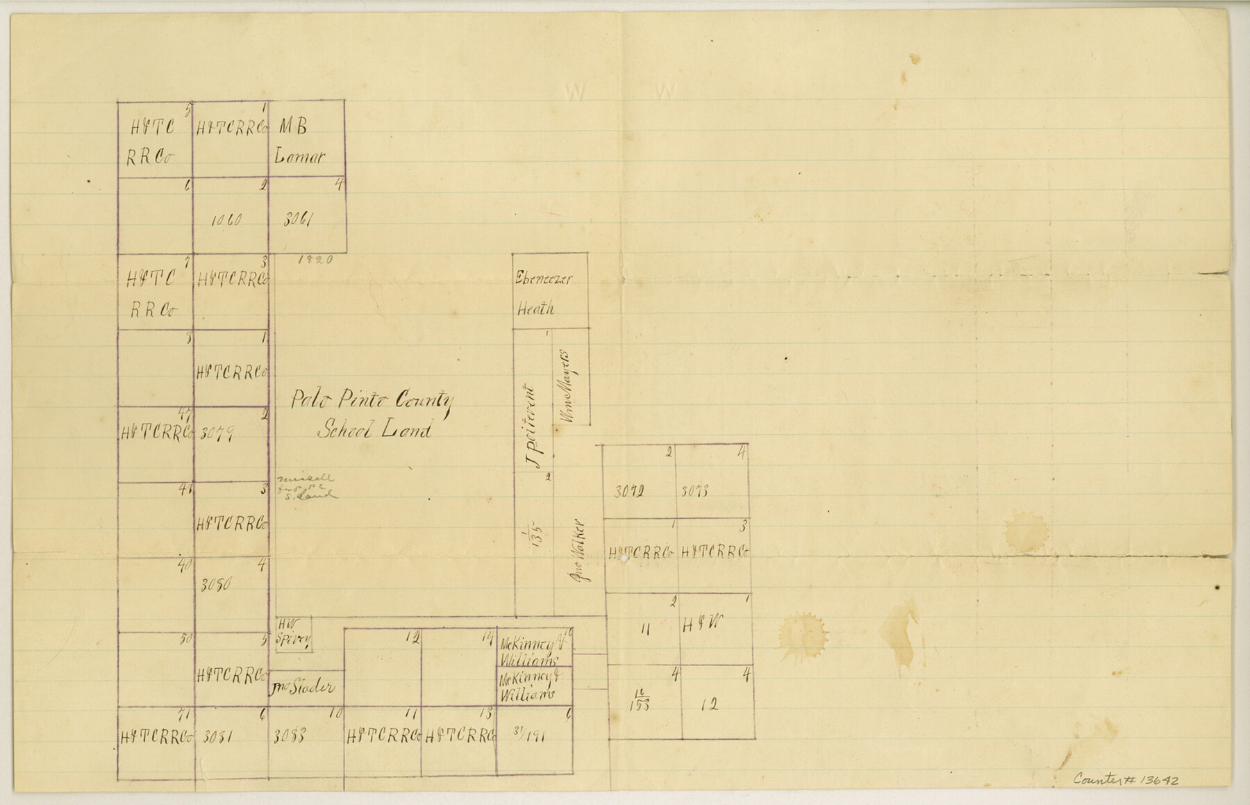
Archer County Sketch File 10
[Sketch showing H. & T. C. Ry. lands in northwest corner of county]
-
Map/Doc
13642
-
Collection
General Map Collection
-
Counties
Archer
-
Subjects
Surveying Sketch File
-
Height x Width
10.2 x 15.9 inches
25.9 x 40.4 cm
-
Medium
paper, manuscript
Part of: General Map Collection
Liberty County Sketch File B

Print $4.00
- Digital $50.00
Liberty County Sketch File B
1869
Size 12.0 x 8.2 inches
Map/Doc 30066
Flight Mission No. DAG-18K, Frame 183, Matagorda County

Print $20.00
- Digital $50.00
Flight Mission No. DAG-18K, Frame 183, Matagorda County
1952
Size 16.0 x 16.0 inches
Map/Doc 86375
Andrews County Working Sketch 3

Print $40.00
- Digital $50.00
Andrews County Working Sketch 3
1953
Size 78.9 x 35.8 inches
Map/Doc 67049

La Salle County Sketch File 45

Print $40.00
- Digital $50.00
La Salle County Sketch File 45
1939
Size 16.9 x 14.2 inches
Map/Doc 29601
Flight Mission No. BRA-8M, Frame 125, Jefferson County

Print $20.00
- Digital $50.00
Flight Mission No. BRA-8M, Frame 125, Jefferson County
1953
Size 15.9 x 15.7 inches
Map/Doc 85621
Red River County Working Sketch 29

Print $20.00
- Digital $50.00
Red River County Working Sketch 29
1961
Size 29.5 x 33.3 inches
Map/Doc 72012
Nautical Chart 518-SC: Galveston Bay Entrance

Print $20.00
- Digital $50.00
Nautical Chart 518-SC: Galveston Bay Entrance
1971
Size 19.2 x 19.1 inches
Map/Doc 75909
Liberty County Rolled Sketch 14

Print $20.00
- Digital $50.00
Liberty County Rolled Sketch 14
Size 33.2 x 43.9 inches
Map/Doc 6620
Brown County Working Sketch 17

Print $20.00
- Digital $50.00
Brown County Working Sketch 17
1993
Size 25.6 x 29.4 inches
Map/Doc 67782
Washington County

Print $20.00
- Digital $50.00
Washington County
1863
Size 15.9 x 27.2 inches
Map/Doc 4127
[Plat of Trinity River w/ Midstream Profile in Liberty County by US Government 1899]
![65338, [Plat of Trinity River w/ Midstream Profile in Liberty County by US Government 1899], General Map Collection](https://historictexasmaps.com/wmedia_w700/maps/65338.tif.jpg)
Print $20.00
- Digital $50.00
[Plat of Trinity River w/ Midstream Profile in Liberty County by US Government 1899]
1899
Size 12.5 x 16.8 inches
Map/Doc 65338
You may also like
Map of Callahan Co[unty]
![88916, Map of Callahan Co[unty], Library of Congress](https://historictexasmaps.com/wmedia_w700/maps/88916.tif.jpg)
Print $20.00
Map of Callahan Co[unty]
1879
Size 24.7 x 18.5 inches
Map/Doc 88916
Garza County Rolled Sketch 13

Print $26.00
- Digital $50.00
Garza County Rolled Sketch 13
1935
Size 45.5 x 36.7 inches
Map/Doc 9047
Laguna Madre from Lone Palmetto Triangulation Station to Gum Pen Triangulation Station

Print $20.00
- Digital $50.00
Laguna Madre from Lone Palmetto Triangulation Station to Gum Pen Triangulation Station
1881
Size 16.2 x 27.5 inches
Map/Doc 73497
Smith County Rolled Sketch 6

Print $20.00
- Digital $50.00
Smith County Rolled Sketch 6
1999
Size 43.3 x 30.0 inches
Map/Doc 10699
Mrs. R. L. Westerman Subdivision of 2 1/2 Acres out of North Half of Survey Number 1, Block Number 36, Township 5 North. Dawson County, Texas

Print $20.00
- Digital $50.00
Mrs. R. L. Westerman Subdivision of 2 1/2 Acres out of North Half of Survey Number 1, Block Number 36, Township 5 North. Dawson County, Texas
1924
Size 18.6 x 24.5 inches
Map/Doc 92591
Texas, Brazos River, Freeport

Print $40.00
- Digital $50.00
Texas, Brazos River, Freeport
1933
Size 28.4 x 48.3 inches
Map/Doc 69994
[Southeast part of Block D and Blocks DD, C31-C37, AX, G and H]
![92012, [Southeast part of Block D and Blocks DD, C31-C37, AX, G and H], Twichell Survey Records](https://historictexasmaps.com/wmedia_w700/maps/92012-1.tif.jpg)
Print $20.00
- Digital $50.00
[Southeast part of Block D and Blocks DD, C31-C37, AX, G and H]
Size 21.4 x 15.0 inches
Map/Doc 92012
[Map of the City of Austin]
![4802, [Map of the City of Austin], General Map Collection](https://historictexasmaps.com/wmedia_w700/maps/4802-1.tif.jpg)
Print $20.00
- Digital $50.00
[Map of the City of Austin]
1856
Size 29.1 x 21.5 inches
Map/Doc 4802

Presidio County Working Sketch 42

Print $40.00
- Digital $50.00
Presidio County Working Sketch 42
1948
Size 90.9 x 38.2 inches
Map/Doc 71719
Presidio County Working Sketch 11

Print $20.00
- Digital $50.00
Presidio County Working Sketch 11
1941
Size 29.2 x 25.8 inches
Map/Doc 71686
Montgomery County Working Sketch 64

Print $20.00
- Digital $50.00
Montgomery County Working Sketch 64
1965
Size 27.9 x 33.7 inches
Map/Doc 71171