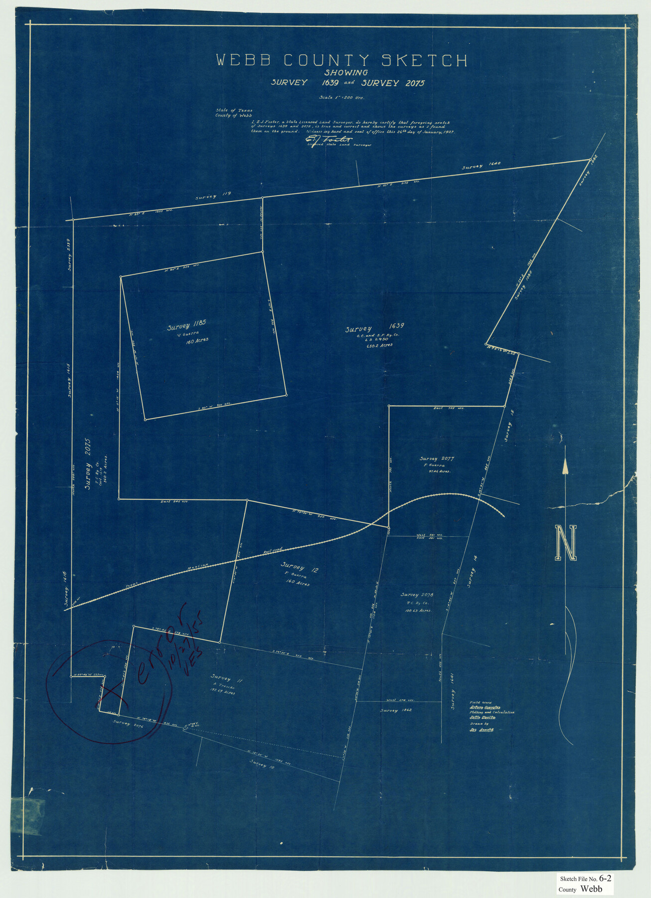
Webb County Sketch File 6-2
Webb County sketch showing survey 1639 and survey 2075
-
Map/Doc
12616
-
Collection
General Map Collection
-
Object Dates
1/26/1927 (Creation Date)
2/1/1927 (File Date)
-
People and Organizations
E.J. Foster (Surveyor/Engineer)
-
Counties
Webb
-
Subjects
Surveying Sketch File
-
Height x Width
29.4 x 21.3 inches
74.7 x 54.1 cm
-
Medium
blueprint/diazo
-
Scale
1" = 200 varas
-
Features
TMRR
Part of: General Map Collection
PSL Field Notes for Block C24 in Loving and Winkler Counties, and Blocks C25, C26, and C27 in Loving County

PSL Field Notes for Block C24 in Loving and Winkler Counties, and Blocks C25, C26, and C27 in Loving County
Map/Doc 81680
Matagorda County NRC Article 33.136 Sketch 9

Print $28.00
- Digital $50.00
Matagorda County NRC Article 33.136 Sketch 9
2011
Size 24.0 x 36.0 inches
Map/Doc 94811
Loving County Working Sketch 5

Print $20.00
- Digital $50.00
Loving County Working Sketch 5
1946
Size 29.7 x 39.0 inches
Map/Doc 70637
Bailey County Sketch File 5

Print $40.00
- Digital $50.00
Bailey County Sketch File 5
1907
Size 31.9 x 22.8 inches
Map/Doc 10883
Nautical Chart 887-SC Intracoastal Waterway - Galveston Bay to Cedar Lakes including the Brazos and San Bernard Rivers, Texas

Print $20.00
- Digital $50.00
Nautical Chart 887-SC Intracoastal Waterway - Galveston Bay to Cedar Lakes including the Brazos and San Bernard Rivers, Texas
1971
Size 16.2 x 18.9 inches
Map/Doc 75911
Howard County Rolled Sketch 12

Print $20.00
- Digital $50.00
Howard County Rolled Sketch 12
Size 25.8 x 16.5 inches
Map/Doc 6243
Andrews County Sketch File 6

Print $9.00
- Digital $50.00
Andrews County Sketch File 6
1942
Size 9.6 x 10.6 inches
Map/Doc 12825
Irion County Working Sketch 3

Print $40.00
- Digital $50.00
Irion County Working Sketch 3
1921
Size 16.1 x 49.3 inches
Map/Doc 66412
Clay County Working Sketch 7

Print $20.00
- Digital $50.00
Clay County Working Sketch 7
Size 17.5 x 14.7 inches
Map/Doc 68030
Wood County Sketch File 10

Print $12.00
- Digital $50.00
Wood County Sketch File 10
1850
Size 8.3 x 12.8 inches
Map/Doc 40658
Baylor County Boundary File 16

Print $2.00
- Digital $50.00
Baylor County Boundary File 16
Size 11.2 x 8.7 inches
Map/Doc 50433
Lynn County Working Sketch 3

Print $20.00
- Digital $50.00
Lynn County Working Sketch 3
1953
Size 30.8 x 30.9 inches
Map/Doc 70673
You may also like
Victoria, Texas: The City of Roses

Victoria, Texas: The City of Roses
1910
Size 3.6 x 4.8 inches
Map/Doc 97056
Harris County Working Sketch 71

Print $20.00
- Digital $50.00
Harris County Working Sketch 71
1957
Size 26.8 x 42.3 inches
Map/Doc 65963
Pecos County Sketch File 84

Print $4.00
- Digital $50.00
Pecos County Sketch File 84
1944
Size 11.2 x 8.8 inches
Map/Doc 33953
Right of Way and Track Map International & Gt. Northern Ry. operated by the International & Gt. Northern Ry. Co., Columbia Branch Gulf Division

Print $40.00
- Digital $50.00
Right of Way and Track Map International & Gt. Northern Ry. operated by the International & Gt. Northern Ry. Co., Columbia Branch Gulf Division
1917
Size 24.8 x 56.3 inches
Map/Doc 64593
Baylor County Boundary File 14

Print $6.00
- Digital $50.00
Baylor County Boundary File 14
Size 11.1 x 8.6 inches
Map/Doc 50428
Wilson County Working Sketch 2

Print $20.00
- Digital $50.00
Wilson County Working Sketch 2
1950
Size 42.0 x 42.8 inches
Map/Doc 72582
Aransas County Rolled Sketch 10

Print $58.00
- Digital $50.00
Aransas County Rolled Sketch 10
1936
Size 10.6 x 15.4 inches
Map/Doc 42208
The Judicial District/County of Ward. Created, January 19, 1841

Print $20.00
The Judicial District/County of Ward. Created, January 19, 1841
2020
Size 18.7 x 21.7 inches
Map/Doc 96354
Map of McClennan County

Print $20.00
- Digital $50.00
Map of McClennan County
1855
Size 22.7 x 24.7 inches
Map/Doc 3860
Ector County Rolled Sketch RE1

Print $20.00
- Digital $50.00
Ector County Rolled Sketch RE1
1928
Size 41.6 x 40.0 inches
Map/Doc 8834
Stephens County Sketch File 10c

Print $6.00
- Digital $50.00
Stephens County Sketch File 10c
Size 7.8 x 11.5 inches
Map/Doc 37052
A Map of the Internal Provinces of New Spain

Print $20.00
- Digital $50.00
A Map of the Internal Provinces of New Spain
1810
Size 19.8 x 21.0 inches
Map/Doc 95156