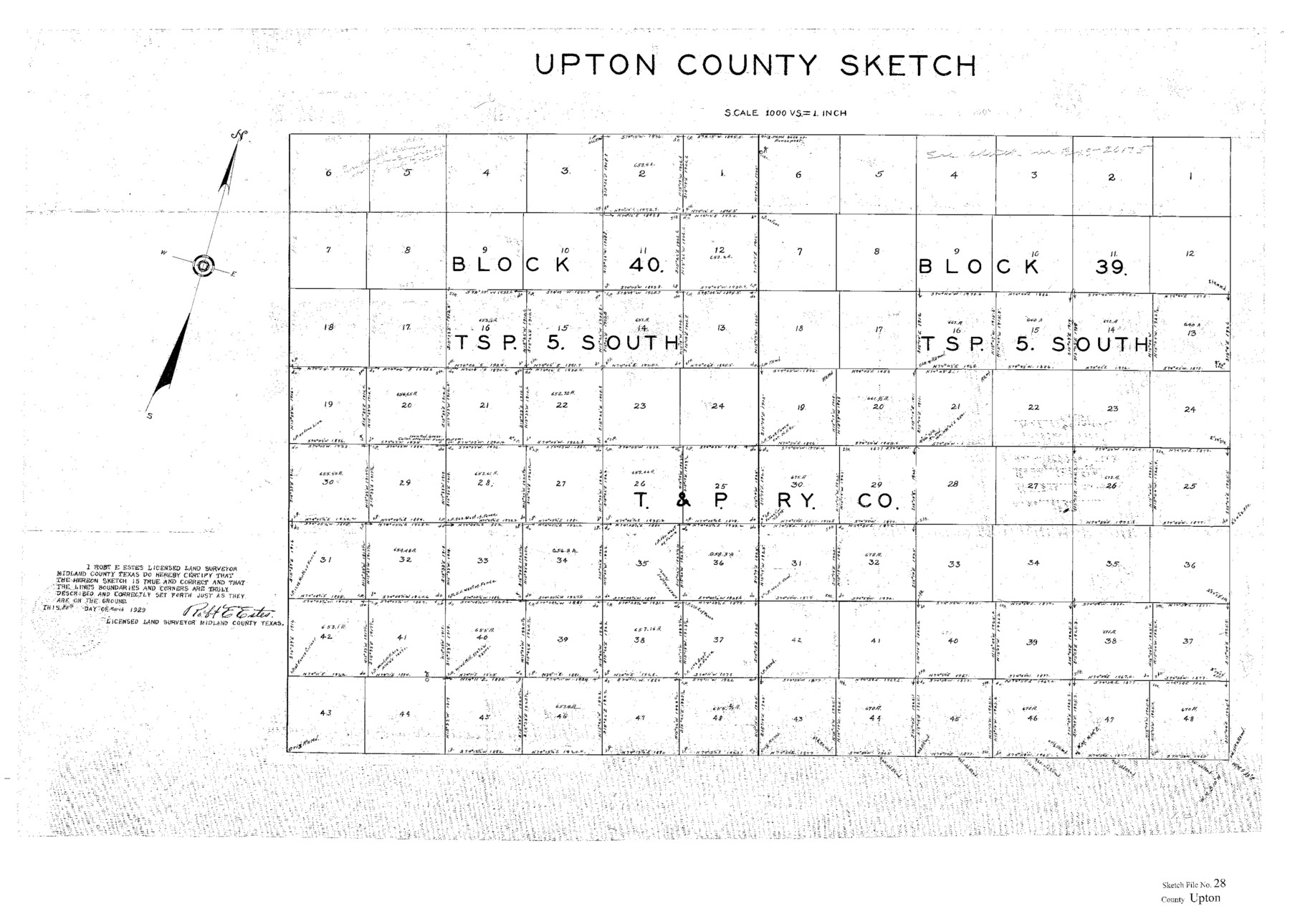
Upton County Sketch File 28
Upton County Sketch.
-
Map/Doc
12521
-
Collection
General Map Collection
-
Object Dates
1929/4/12 (File Date)
1929/12/28 (Creation Date)
-
People and Organizations
R.E. Estes (Surveyor/Engineer)
Robert E. Estes (Surveyor/Engineer)
-
Counties
Upton
-
Subjects
Surveying Sketch File
-
Height x Width
22.8 x 31.8 inches
57.9 x 80.8 cm
-
Medium
paper, print
Part of: General Map Collection
Terrell County Rolled Sketch H

Print $20.00
- Digital $50.00
Terrell County Rolled Sketch H
Size 17.2 x 22.9 inches
Map/Doc 7977
Wise County Sketch File 26b

Print $20.00
- Digital $50.00
Wise County Sketch File 26b
1855
Size 13.3 x 19.9 inches
Map/Doc 12700
Wichita County Sketch File 23

Print $20.00
- Digital $50.00
Wichita County Sketch File 23
1911
Size 32.8 x 29.4 inches
Map/Doc 10432
Kimble County Rolled Sketch 40

Print $20.00
- Digital $50.00
Kimble County Rolled Sketch 40
Size 27.5 x 22.4 inches
Map/Doc 6530
El Paso County Sketch File 40

Print $20.00
- Digital $50.00
El Paso County Sketch File 40
1988
Size 24.8 x 35.9 inches
Map/Doc 11461
Dimmit County Working Sketch 1

Print $20.00
- Digital $50.00
Dimmit County Working Sketch 1
1906
Size 23.6 x 22.7 inches
Map/Doc 68662
Hardin County Rolled Sketch 13

Print $20.00
- Digital $50.00
Hardin County Rolled Sketch 13
Size 47.1 x 41.3 inches
Map/Doc 76012
Flight Mission No. BRE-1P, Frame 66, Nueces County

Print $20.00
- Digital $50.00
Flight Mission No. BRE-1P, Frame 66, Nueces County
1956
Size 18.5 x 22.4 inches
Map/Doc 86648
Flight Mission No. DAG-22K, Frame 85, Matagorda County

Print $20.00
- Digital $50.00
Flight Mission No. DAG-22K, Frame 85, Matagorda County
1953
Size 15.7 x 15.4 inches
Map/Doc 86469
El Paso County Working Sketch 22

Print $20.00
- Digital $50.00
El Paso County Working Sketch 22
1961
Size 21.6 x 20.0 inches
Map/Doc 69044
Coke County Sketch File 7

Print $20.00
- Digital $50.00
Coke County Sketch File 7
Size 18.9 x 22.4 inches
Map/Doc 11105
Flight Mission No. BRA-16M, Frame 60, Jefferson County

Print $20.00
- Digital $50.00
Flight Mission No. BRA-16M, Frame 60, Jefferson County
1953
Size 18.6 x 22.3 inches
Map/Doc 85677
You may also like
Flight Mission No. DQO-2K, Frame 83, Galveston County

Print $20.00
- Digital $50.00
Flight Mission No. DQO-2K, Frame 83, Galveston County
1952
Size 18.8 x 22.5 inches
Map/Doc 85010
Colorado County Working Sketch 6

Print $20.00
- Digital $50.00
Colorado County Working Sketch 6
1921
Size 15.4 x 14.3 inches
Map/Doc 68106
Pecos County Sketch File 29c

Print $14.00
- Digital $50.00
Pecos County Sketch File 29c
1929
Size 11.2 x 8.8 inches
Map/Doc 33698
Brazos River, Koy Bridge Sheet/Mill Creek

Print $20.00
- Digital $50.00
Brazos River, Koy Bridge Sheet/Mill Creek
1933
Size 44.0 x 27.3 inches
Map/Doc 65290
Fifteenth Census 1930 Population - Texas

Print $20.00
- Digital $50.00
Fifteenth Census 1930 Population - Texas
1930
Size 19.5 x 22.6 inches
Map/Doc 2146
[T. & P. Blocks 33 and 34, Township 5N]
![90561, [T. & P. Blocks 33 and 34, Township 5N], Twichell Survey Records](https://historictexasmaps.com/wmedia_w700/maps/90561-1.tif.jpg)
Print $20.00
- Digital $50.00
[T. & P. Blocks 33 and 34, Township 5N]
Size 26.0 x 18.4 inches
Map/Doc 90561
Randall County Sketch File 10

Print $4.00
- Digital $50.00
Randall County Sketch File 10
1941
Size 11.4 x 8.8 inches
Map/Doc 34972
Flight Mission No. CLL-1N, Frame 79, Willacy County

Print $20.00
- Digital $50.00
Flight Mission No. CLL-1N, Frame 79, Willacy County
1954
Size 18.6 x 22.2 inches
Map/Doc 87025


Presidio County Working Sketch 145

Print $20.00
- Digital $50.00
Presidio County Working Sketch 145
1990
Size 29.5 x 42.7 inches
Map/Doc 71823
Flight Mission No. DQN-5K, Frame 31, Calhoun County

Print $20.00
- Digital $50.00
Flight Mission No. DQN-5K, Frame 31, Calhoun County
1953
Size 18.5 x 22.1 inches
Map/Doc 84382