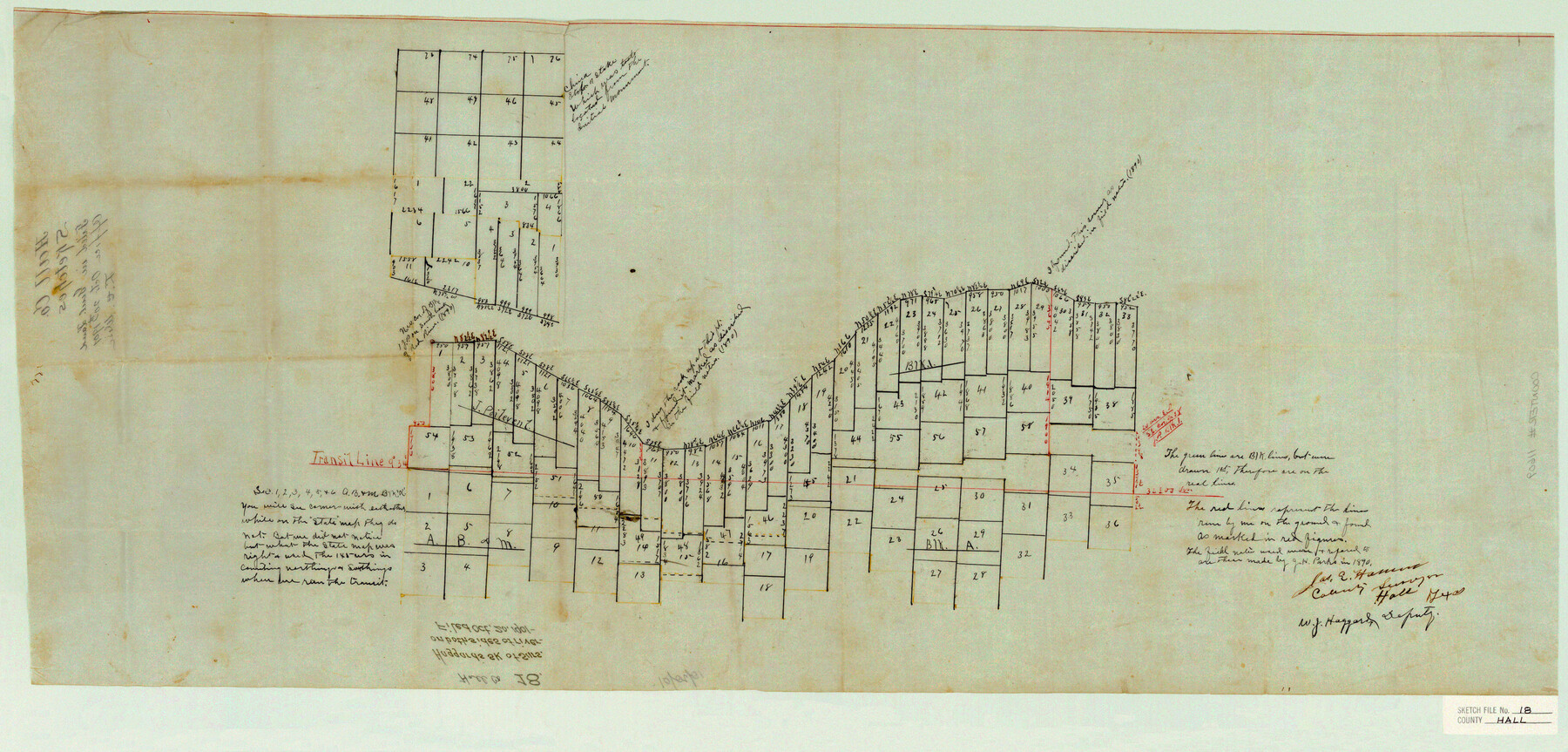
Hall County Sketch File 18
Haggard's sk. of surs. on both sides of river
-
Map/Doc
11609
-
Collection
General Map Collection
-
Object Dates
1901/10/20 (File Date)
1890 (Survey Date)
-
People and Organizations
James E. Hamm (Surveyor/Engineer)
J.H. Parks (Surveyor/Engineer)
-
Counties
Hall
-
Subjects
Surveying Sketch File
-
Height x Width
16.8 x 35.1 inches
42.7 x 89.2 cm
-
Medium
paper, manuscript
Part of: General Map Collection
Coast Chart No. 202 - Calcasieu Pass to Sabine Light, Louisiana

Print $20.00
- Digital $50.00
Coast Chart No. 202 - Calcasieu Pass to Sabine Light, Louisiana
1905
Size 40.7 x 34.4 inches
Map/Doc 69803
Carson County Boundary File 9

Print $74.00
- Digital $50.00
Carson County Boundary File 9
Size 9.0 x 8.9 inches
Map/Doc 51175
Flight Mission No. BRE-2P, Frame 18, Nueces County

Print $20.00
- Digital $50.00
Flight Mission No. BRE-2P, Frame 18, Nueces County
1956
Size 18.5 x 22.7 inches
Map/Doc 86727
Flight Mission No. CRC-2R, Frame 61, Chambers County

Print $20.00
- Digital $50.00
Flight Mission No. CRC-2R, Frame 61, Chambers County
1956
Size 18.8 x 22.5 inches
Map/Doc 84732
Rockwall County Boundary File 75b

Print $42.00
- Digital $50.00
Rockwall County Boundary File 75b
Size 14.3 x 8.8 inches
Map/Doc 58486
Map of Collin County

Print $20.00
- Digital $50.00
Map of Collin County
1862
Size 24.4 x 20.5 inches
Map/Doc 1084
Wichita County Boundary File 1

Print $11.00
- Digital $50.00
Wichita County Boundary File 1
Size 14.4 x 8.8 inches
Map/Doc 59895
Scurry County Sketch File 5

Print $4.00
- Digital $50.00
Scurry County Sketch File 5
1990
Size 14.4 x 8.9 inches
Map/Doc 36568
Nacogdoches County Working Sketch 11

Print $20.00
- Digital $50.00
Nacogdoches County Working Sketch 11
1985
Size 41.1 x 28.0 inches
Map/Doc 71227
Rio Grande Rectification Project, El Paso and Juarez Valley

Print $20.00
- Digital $50.00
Rio Grande Rectification Project, El Paso and Juarez Valley
1935
Size 10.7 x 29.6 inches
Map/Doc 60866
Presidio County Boundary File 3

Print $33.00
- Digital $50.00
Presidio County Boundary File 3
Size 14.1 x 8.5 inches
Map/Doc 58058
El Paso County Sketch File 35 (5)

Print $6.00
- Digital $50.00
El Paso County Sketch File 35 (5)
1886
Size 14.6 x 8.9 inches
Map/Doc 22218
You may also like
Aransas County Sketch File 24a

Print $42.00
- Digital $50.00
Aransas County Sketch File 24a
1941
Size 11.6 x 8.6 inches
Map/Doc 13195
Terrell County Working Sketch 18a

Print $40.00
- Digital $50.00
Terrell County Working Sketch 18a
1931
Size 48.9 x 34.6 inches
Map/Doc 62168
Brazoria County Rolled Sketch 23

Print $20.00
- Digital $50.00
Brazoria County Rolled Sketch 23
1931
Size 39.2 x 37.3 inches
Map/Doc 10691
Potter County Working Sketch 11

Print $20.00
- Digital $50.00
Potter County Working Sketch 11
1972
Size 27.4 x 26.4 inches
Map/Doc 71671
Current Miscellaneous File 106

Print $36.00
- Digital $50.00
Current Miscellaneous File 106
Size 8.6 x 11.3 inches
Map/Doc 74689
Burnet County Sketch File 36

Print $60.00
- Digital $50.00
Burnet County Sketch File 36
1935
Size 25.7 x 17.6 inches
Map/Doc 11025
Orange County Sketch File 22

Print $20.00
- Digital $50.00
Orange County Sketch File 22
1910
Size 16.2 x 18.7 inches
Map/Doc 12121
Mason County Rolled Sketch 1

Print $20.00
- Digital $50.00
Mason County Rolled Sketch 1
1940
Size 21.2 x 24.9 inches
Map/Doc 6674
Lavaca County Boundary File 58

Print $20.00
- Digital $50.00
Lavaca County Boundary File 58
Size 8.5 x 7.1 inches
Map/Doc 56259
Knox County Boundary File 2

Print $40.00
- Digital $50.00
Knox County Boundary File 2
Size 31.1 x 34.1 inches
Map/Doc 65017
Real County Working Sketch 16

Print $20.00
- Digital $50.00
Real County Working Sketch 16
1941
Size 28.2 x 40.1 inches
Map/Doc 71908
Kleberg County Sketch File 1

Print $36.00
- Digital $50.00
Kleberg County Sketch File 1
1994
Size 8.8 x 11.3 inches
Map/Doc 29192