Deaf Smith County Sketch File 1 1/2
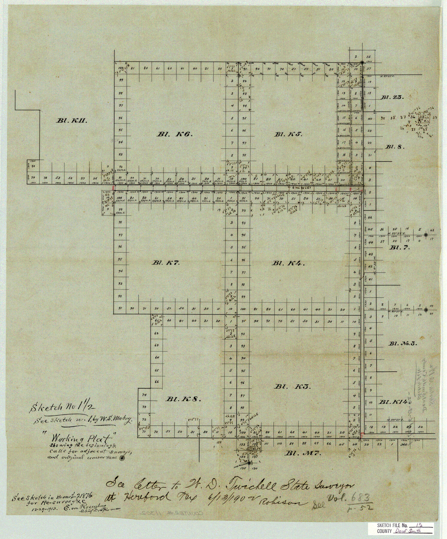
[Sketch showing Blocks K3, K4, K5, K6, K7, and K8 in Deaf Smith and Oldham Counties]
-
Map/Doc
11302
-
Collection
General Map Collection
-
People and Organizations
W.S. Mabry (Draftsman)
-
Counties
Deaf Smith Oldham
-
Subjects
Surveying Sketch File
-
Height x Width
20.7 x 17.1 inches
52.6 x 43.4 cm
-
Medium
paper, manuscript
Part of: General Map Collection
Hemphill County Rolled Sketch 12

Print $20.00
- Digital $50.00
Hemphill County Rolled Sketch 12
1941
Size 36.0 x 45.1 inches
Map/Doc 9154
Baylor County Sketch File 6a

Print $6.00
- Digital $50.00
Baylor County Sketch File 6a
1887
Size 10.8 x 8.1 inches
Map/Doc 14132
Hardeman County Working Sketch 17

Print $20.00
- Digital $50.00
Hardeman County Working Sketch 17
1986
Size 18.4 x 26.1 inches
Map/Doc 63398
Val Verde County Sketch File Z19

Print $26.00
- Digital $50.00
Val Verde County Sketch File Z19
1912
Size 23.1 x 21.1 inches
Map/Doc 12559
Hardin County Sketch File 71

Print $94.00
- Digital $50.00
Hardin County Sketch File 71
1997
Size 11.4 x 8.8 inches
Map/Doc 25259
Coleman County Sketch File 49

Print $80.00
- Digital $50.00
Coleman County Sketch File 49
1918
Size 14.2 x 8.6 inches
Map/Doc 18813
Aransas County NRC Article 33.136 Sketch 8

Print $22.00
- Digital $50.00
Aransas County NRC Article 33.136 Sketch 8
2007
Size 24.0 x 36.0 inches
Map/Doc 88800
Bexar County Sketch File 56

Print $40.00
- Digital $50.00
Bexar County Sketch File 56
1966
Size 19.7 x 23.8 inches
Map/Doc 10927
Pecos County Working Sketch 111

Print $40.00
- Digital $50.00
Pecos County Working Sketch 111
1972
Size 32.9 x 69.6 inches
Map/Doc 71584
Map of The Surveyed Part of Peters Colony Texas

Print $40.00
- Digital $50.00
Map of The Surveyed Part of Peters Colony Texas
1852
Size 56.5 x 41.0 inches
Map/Doc 1966
Throckmorton County Working Sketch 8

Print $20.00
- Digital $50.00
Throckmorton County Working Sketch 8
1958
Size 21.6 x 30.4 inches
Map/Doc 62117
Hansford County Sketch File 13

Print $12.00
- Digital $50.00
Hansford County Sketch File 13
1989
Size 11.2 x 8.8 inches
Map/Doc 24978
You may also like
Crockett County Rolled Sketch 68

Print $20.00
- Digital $50.00
Crockett County Rolled Sketch 68
1947
Size 25.8 x 38.7 inches
Map/Doc 5611
San Patricio County Sketch File 29

Print $10.00
San Patricio County Sketch File 29
1936
Size 11.3 x 8.8 inches
Map/Doc 36111
The Chief Justice County of Colorado. Lands in Conflict with Brazoria, Mina Counties

Print $20.00
The Chief Justice County of Colorado. Lands in Conflict with Brazoria, Mina Counties
2020
Size 14.8 x 21.7 inches
Map/Doc 96045
Current Miscellaneous File 33

Print $6.00
- Digital $50.00
Current Miscellaneous File 33
1953
Size 10.8 x 8.2 inches
Map/Doc 73939
Upton County Sketch File 7

Print $4.00
- Digital $50.00
Upton County Sketch File 7
Size 14.4 x 8.9 inches
Map/Doc 38820
Shackelford County Rolled Sketch 7

Print $20.00
- Digital $50.00
Shackelford County Rolled Sketch 7
2009
Size 36.9 x 24.8 inches
Map/Doc 89229
Starr County Working Sketch 15

Print $20.00
- Digital $50.00
Starr County Working Sketch 15
1971
Size 34.4 x 37.6 inches
Map/Doc 63931
Harris County Working Sketch 58

Print $20.00
- Digital $50.00
Harris County Working Sketch 58
1952
Size 24.1 x 26.5 inches
Map/Doc 65950
Chambers County Sketch File 21a

Print $2.00
- Digital $50.00
Chambers County Sketch File 21a
1867
Size 10.2 x 6.6 inches
Map/Doc 17593
Scurry County Rolled Sketch 2

Print $20.00
- Digital $50.00
Scurry County Rolled Sketch 2
Size 44.0 x 44.9 inches
Map/Doc 9911
Navigation Maps of Gulf Intracoastal Waterway, Port Arthur to Brownsville, Texas

Print $4.00
- Digital $50.00
Navigation Maps of Gulf Intracoastal Waterway, Port Arthur to Brownsville, Texas
1951
Size 16.5 x 21.1 inches
Map/Doc 65435
Liberty County Working Sketch 24

Print $20.00
- Digital $50.00
Liberty County Working Sketch 24
1941
Size 19.0 x 14.0 inches
Map/Doc 70483