Crane County Sketch File 18
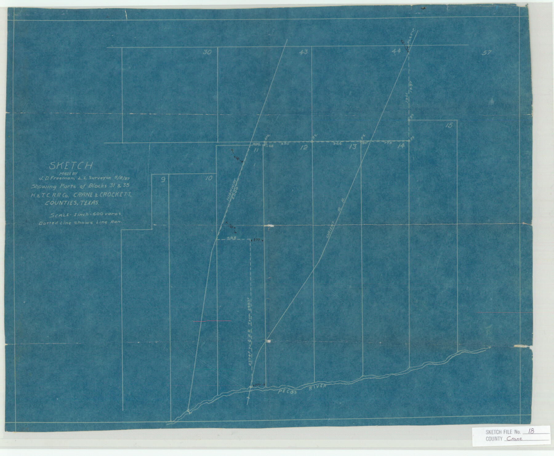
Sketch Showing Parts of Blocks 31 & 35, H&T.C. R.R. Co. Crane & Crockett Counties, Texas
- 
                          Map/Doc
11210
 - 
                            Collection
General Map Collection
 - 
                            Object Dates
1927/5/8 (Creation Date)
1927 (File Date)
 - 
                            People and Organizations
J.D. Freeman (Surveyor/Engineer)
J.D. Freeman (Draftsman)
 - 
                            Counties
Crane Crockett
 - 
                            Subjects
Surveying Sketch File
 - 
                            Height x Width
15.1 x 18.4 inches
38.4 x 46.7 cm
 - 
                            Medium
blueprint/diazo
 - 
                            Scale
1:600
 - 
                            Features
Highway 2000
Orient Railway
Pecos River
 
Part of: General Map Collection
            Bell County Sketch File 8


                                            Print $4.00                    
                                             -                         Digital $50.00                                    
                Bell County Sketch File 8
1852
Size 14.2 x 8.9 inches
                                Map/Doc 14377
            
            Brown County Rolled Sketch 2C


                                            Print $20.00                    
                                             -                         Digital $50.00                                    
                Brown County Rolled Sketch 2C
1984
Size 26.7 x 24.6 inches
                                Map/Doc 5352
            
            [Sketch for Mineral Application 16700 - Pecos River Bed]


                                            Print $20.00                    
                                             -                         Digital $50.00                                    
                [Sketch for Mineral Application 16700 - Pecos River Bed]
1927
Size 32.9 x 15.3 inches
                                Map/Doc 2807
            
            Edwards County Working Sketch 128


                                            Print $20.00                    
                                             -                         Digital $50.00                                    
                Edwards County Working Sketch 128
1981
Size 26.5 x 32.4 inches
                                Map/Doc 69004
            
            Current Miscellaneous File 59


                                            Print $16.00                    
                                             -                         Digital $50.00                                    
                Current Miscellaneous File 59
1836
Size 11.4 x 8.9 inches
                                Map/Doc 74056
            
            Garza County Rolled Sketch 5A


                                            Print $40.00                    
                                             -                         Digital $50.00                                    
                Garza County Rolled Sketch 5A
Size 36.4 x 53.8 inches
                                Map/Doc 3830
            
            Johnson County


                                            Print $20.00                    
                                             -                         Digital $50.00                                    
                Johnson County
1943
Size 42.4 x 39.0 inches
                                Map/Doc 1868
            
            Map of north end of Brazos Island


                                            Print $20.00                    
                                             -                         Digital $50.00                                    
                Map of north end of Brazos Island
Size 27.7 x 18.3 inches
                                Map/Doc 72907
            
            Schleicher County


                                            Print $40.00                    
                                             -                         Digital $50.00                                    
                Schleicher County
1898
Size 35.0 x 52.8 inches
                                Map/Doc 78396
            
            Pecos County Sketch File 111


                                            Print $18.00                    
                                             -                         Digital $50.00                                    
                Pecos County Sketch File 111
Size 13.3 x 8.8 inches
                                Map/Doc 34052
            
            Anderson County Working Sketch 46


                                            Print $20.00                    
                                             -                         Digital $50.00                                    
                Anderson County Working Sketch 46
2000
Size 29.2 x 34.2 inches
                                Map/Doc 67046
            
            Jackson County Rolled Sketch 3A


                                            Print $20.00                    
                                             -                         Digital $50.00                                    
                Jackson County Rolled Sketch 3A
1913
Size 23.2 x 22.6 inches
                                Map/Doc 6337
            You may also like
            Goliad County Sketch File 31


                                            Print $6.00                    
                                             -                         Digital $50.00                                    
                Goliad County Sketch File 31
1897
Size 10.7 x 8.2 inches
                                Map/Doc 24329
            
            La Salle County Working Sketch 10


                                            Print $20.00                    
                                             -                         Digital $50.00                                    
                La Salle County Working Sketch 10
1928
Size 30.6 x 20.5 inches
                                Map/Doc 70311
            
            Ward County Rolled Sketch 27


                                            Print $20.00                    
                                             -                         Digital $50.00                                    
                Ward County Rolled Sketch 27
1982
Size 22.7 x 16.5 inches
                                Map/Doc 8166
            
            Atascosa County Rolled Sketch 17


                                            Print $20.00                    
                                             -                         Digital $50.00                                    
                Atascosa County Rolled Sketch 17
1953
Size 35.6 x 28.2 inches
                                Map/Doc 5097
            
            Lipscomb County Boundary File 5


                                            Print $4.00                    
                                             -                         Digital $50.00                                    
                Lipscomb County Boundary File 5
Size 5.5 x 8.6 inches
                                Map/Doc 56327
            
            [Plat of the Town of Lockhart]


                                            Print $20.00                    
                                             -                         Digital $50.00                                    
                [Plat of the Town of Lockhart]
Size 19.5 x 25.0 inches
                                Map/Doc 82534
            
            Edwards County Rolled Sketch O


                                            Print $20.00                    
                                             -                         Digital $50.00                                    
                Edwards County Rolled Sketch O
Size 13.6 x 18.3 inches
                                Map/Doc 5820
            
            Flight Mission No. BQR-5K, Frame 74, Brazoria County


                                            Print $20.00                    
                                             -                         Digital $50.00                                    
                Flight Mission No. BQR-5K, Frame 74, Brazoria County
1952
Size 18.8 x 22.4 inches
                                Map/Doc 84019
            
            Map of the Recognised Line M. EL. P. & P. R. R. from East Line of Bexar Land District to El Paso


                                            Print $40.00                    
                                             -                         Digital $50.00                                    
                Map of the Recognised Line M. EL. P. & P. R. R. from East Line of Bexar Land District to El Paso
1857
Size 20.0 x 50.4 inches
                                Map/Doc 85322
            
            Strip Map of Texas-Oklahoma Boundary from Denison East to the Oklahoma-Arkansas State Line


                                            Print $40.00                    
                                             -                         Digital $50.00                                    
                Strip Map of Texas-Oklahoma Boundary from Denison East to the Oklahoma-Arkansas State Line
1933
Size 38.7 x 116.3 inches
                                Map/Doc 75926
            
            Galveston County NRC Article 33.136 Sketch 87


                                            Print $24.00                    
                                             -                         Digital $50.00                                    
                Galveston County NRC Article 33.136 Sketch 87
2006
Size 24.0 x 36.0 inches
                                Map/Doc 95391
            
            Witt Addition, Subdivision out of Section 6, Block E, City of Lubbock


                                            Print $20.00                    
                                             -                         Digital $50.00                                    
                Witt Addition, Subdivision out of Section 6, Block E, City of Lubbock
1950
Size 9.5 x 31.4 inches
                                Map/Doc 92738