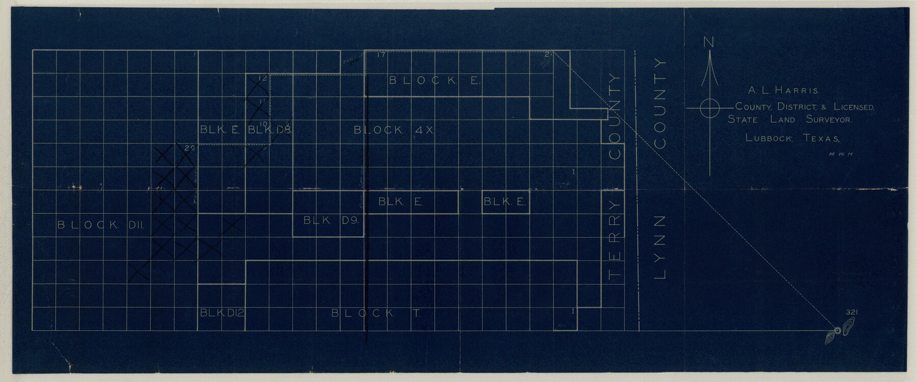
Terry County Sketch File 3
[Sketch of Blocks in the north half of the county showing a connecting line from the NE corner of section 2, Block E to Double Lakes in Lynn County]
-
Map/Doc
10390
-
Collection
General Map Collection
-
Object Dates
10/1948 (Creation Date)
5/16/1956 (File Date)
-
People and Organizations
A.L. Harris (Surveyor/Engineer)
-
Counties
Terry Lynn
-
Subjects
Surveying Sketch File
-
Height x Width
16.2 x 39.0 inches
41.2 x 99.1 cm
-
Medium
paper, photocopy
Part of: General Map Collection
Map of Texas coastal area showing submerged area to which counties along the Gulf of Mexico are entitled

Print $20.00
- Digital $50.00
Map of Texas coastal area showing submerged area to which counties along the Gulf of Mexico are entitled
1939
Size 28.3 x 44.2 inches
Map/Doc 3105
Kleberg County, Cayo del Grullo

Print $20.00
- Digital $50.00
Kleberg County, Cayo del Grullo
1952
Size 32.6 x 29.0 inches
Map/Doc 73506
Milam District

Print $20.00
- Digital $50.00
Milam District
1854
Size 30.2 x 18.9 inches
Map/Doc 3859
Kleberg County Boundary File 2c

Print $40.00
- Digital $50.00
Kleberg County Boundary File 2c
Size 8.8 x 49.6 inches
Map/Doc 64979
Ector County Rolled Sketch 12

Print $38.00
- Digital $50.00
Ector County Rolled Sketch 12
Size 10.1 x 15.4 inches
Map/Doc 44314
Flight Mission No. CGI-3N, Frame 133, Cameron County

Print $20.00
- Digital $50.00
Flight Mission No. CGI-3N, Frame 133, Cameron County
1954
Size 18.5 x 22.1 inches
Map/Doc 84606
Northeast Part Pecos County

Print $20.00
- Digital $50.00
Northeast Part Pecos County
1975
Size 35.8 x 42.3 inches
Map/Doc 73260
La Salle County Working Sketch 47

Print $20.00
- Digital $50.00
La Salle County Working Sketch 47
1982
Size 20.3 x 20.5 inches
Map/Doc 70348
Southern Part of Laguna Madre

Print $20.00
- Digital $50.00
Southern Part of Laguna Madre
1966
Size 44.2 x 34.8 inches
Map/Doc 73539
Williamson County

Print $20.00
- Digital $50.00
Williamson County
1872
Size 18.4 x 28.2 inches
Map/Doc 4151
Maps & Lists Showing Prison Lands (Oil & Gas) Leased as of June 1955

Digital $50.00
Maps & Lists Showing Prison Lands (Oil & Gas) Leased as of June 1955
Size 11.1 x 9.0 inches
Map/Doc 62872
Erath County Working Sketch 49

Print $20.00
- Digital $50.00
Erath County Working Sketch 49
1990
Size 37.4 x 30.8 inches
Map/Doc 69130
You may also like
Crosby County Sketch File 16

Print $20.00
- Digital $50.00
Crosby County Sketch File 16
1904
Size 31.7 x 9.6 inches
Map/Doc 11251
[County table portion of 1879 State of Texas map by Pressler & Langermann]
![3102, [County table portion of 1879 State of Texas map by Pressler & Langermann], General Map Collection](https://historictexasmaps.com/wmedia_w700/maps/3102-1.tif.jpg)
Print $20.00
- Digital $50.00
[County table portion of 1879 State of Texas map by Pressler & Langermann]
1879
Size 15.0 x 23.6 inches
Map/Doc 3102
Map of the Interior of Louisiana with a part of New Mexico

Print $20.00
- Digital $50.00
Map of the Interior of Louisiana with a part of New Mexico
1813
Size 11.9 x 15.7 inches
Map/Doc 94460
Chambers County Sketch File 37

Print $20.00
- Digital $50.00
Chambers County Sketch File 37
Size 25.0 x 43.8 inches
Map/Doc 10333
Houston County Working Sketch 5

Print $20.00
- Digital $50.00
Houston County Working Sketch 5
Size 24.9 x 28.1 inches
Map/Doc 66235
Yoakum County Sketch File 5

Print $10.00
- Digital $50.00
Yoakum County Sketch File 5
1899
Size 14.3 x 9.0 inches
Map/Doc 40733
Rough sketch showing survey made for L.T. Eck Block 14 and part of Block 13, Fairview Park, South Austin, Texas

Print $2.00
- Digital $50.00
Rough sketch showing survey made for L.T. Eck Block 14 and part of Block 13, Fairview Park, South Austin, Texas
1914
Size 9.0 x 14.4 inches
Map/Doc 467
North Half, Harris County, Texas - Ownership Map with Well Data

North Half, Harris County, Texas - Ownership Map with Well Data
1948
Size 121.9 x 44.3 inches
Map/Doc 93206
[Blks. 8, 10, CC 41, and 32]
![90118, [Blks. 8, 10, CC 41, and 32], Twichell Survey Records](https://historictexasmaps.com/wmedia_w700/maps/90118-1.tif.jpg)
Print $20.00
- Digital $50.00
[Blks. 8, 10, CC 41, and 32]
Size 40.6 x 15.4 inches
Map/Doc 90118
In the Supreme Court of the United States The State of Oklahoma, Complainant vs. The State of Texas, Defendant, The United States of America, Intervener - 1920

Print $20.00
- Digital $50.00
In the Supreme Court of the United States The State of Oklahoma, Complainant vs. The State of Texas, Defendant, The United States of America, Intervener - 1920
1920
Size 39.4 x 35.6 inches
Map/Doc 75111
Map Showing a Resurvey of Part of Blk. I, H. &. G. N. Ry. Co. Pecos County, Texas, following field notes copied from Jacob Kuechler's field book of his original survey made in October and November 1876

Print $20.00
- Digital $50.00
Map Showing a Resurvey of Part of Blk. I, H. &. G. N. Ry. Co. Pecos County, Texas, following field notes copied from Jacob Kuechler's field book of his original survey made in October and November 1876
1930
Size 19.7 x 14.8 inches
Map/Doc 91571
Map of Fort Bend Co.

Print $20.00
- Digital $50.00
Map of Fort Bend Co.
1898
Size 45.3 x 41.6 inches
Map/Doc 4949