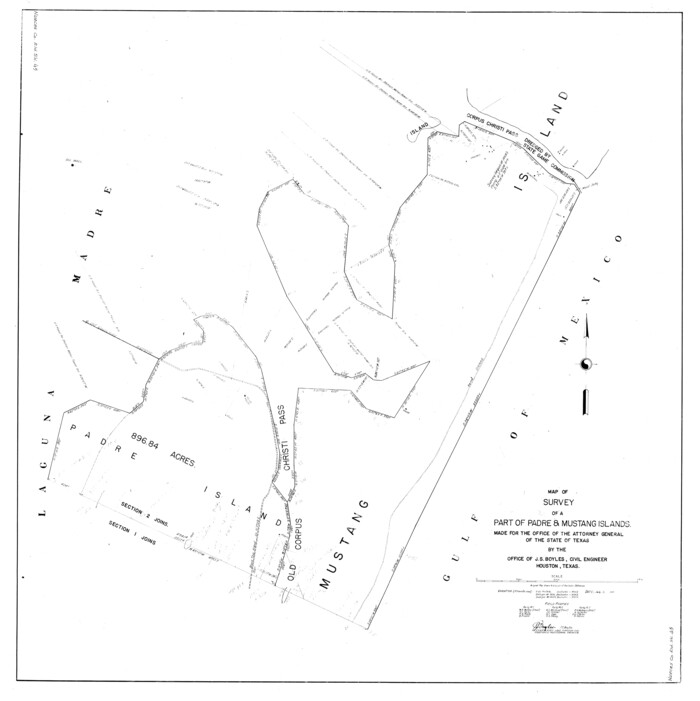
Nueces County Rolled Sketch 45
1941
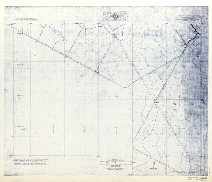
Nueces County Rolled Sketch 100
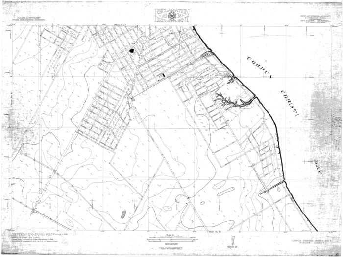
Nueces County Rolled Sketch 100
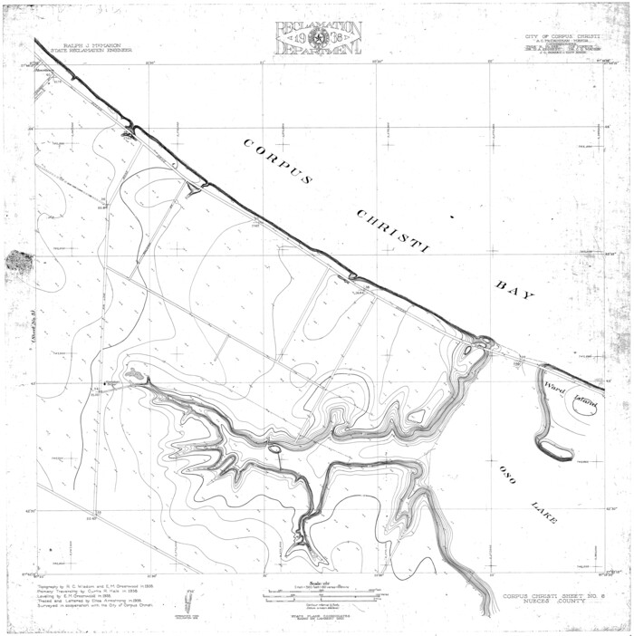
Nueces County Rolled Sketch 100
1938
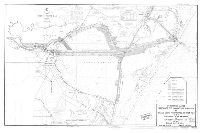
Nueces County Rolled Sketch 104A
1975
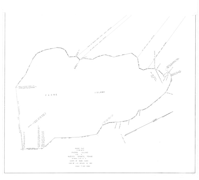
Nueces County Rolled Sketch 45
1941
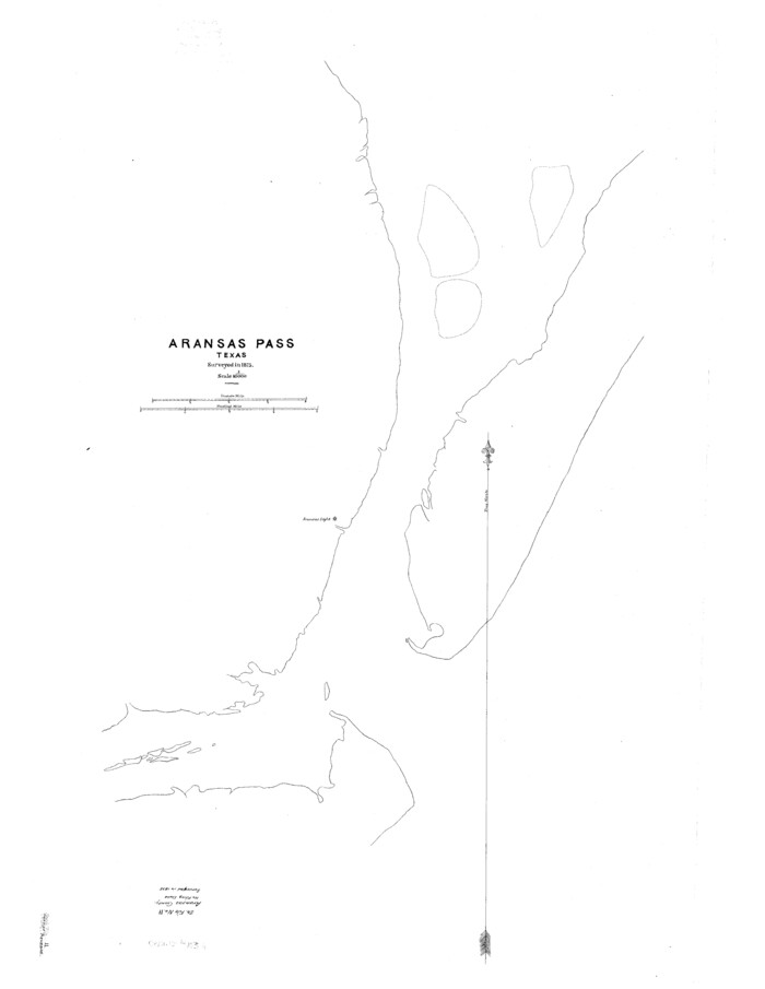
Aransas County Sketch File 11
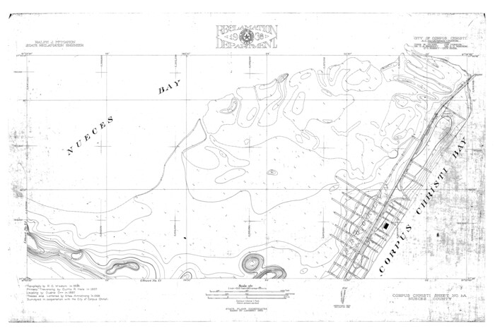
Nueces County Rolled Sketch 100
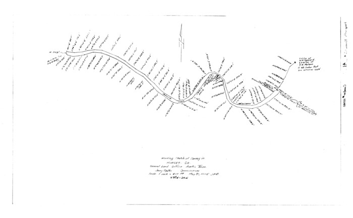
Nueces County Rolled Sketch 41
1965
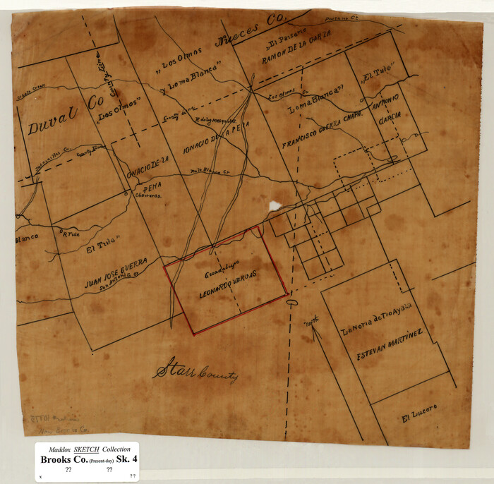
[Sketch of Surveys in Brooks County, Texas]
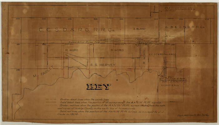
[Surveying Sketch of M. Farley, R. Word, S. S. Hervey, et al in Kleberg County, Texas]
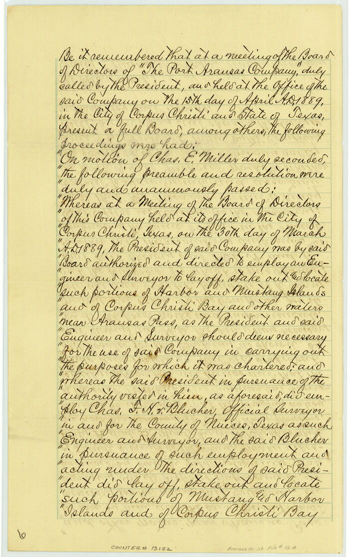
Aransas County Sketch File 12a
1889
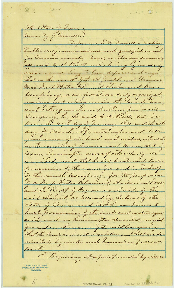
Aransas County Sketch File 14
1891

Aransas County Sketch File 18
1888

Aransas County Sketch File 22
1910

Aransas County Sketch File 26
1896
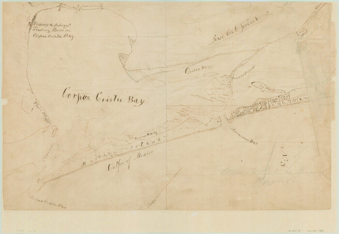
[Aransas and Corpus Christi Bays]
1839
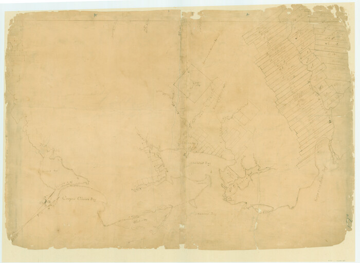
[Surveys on San Antonio River and Aransas Bay area]
1840
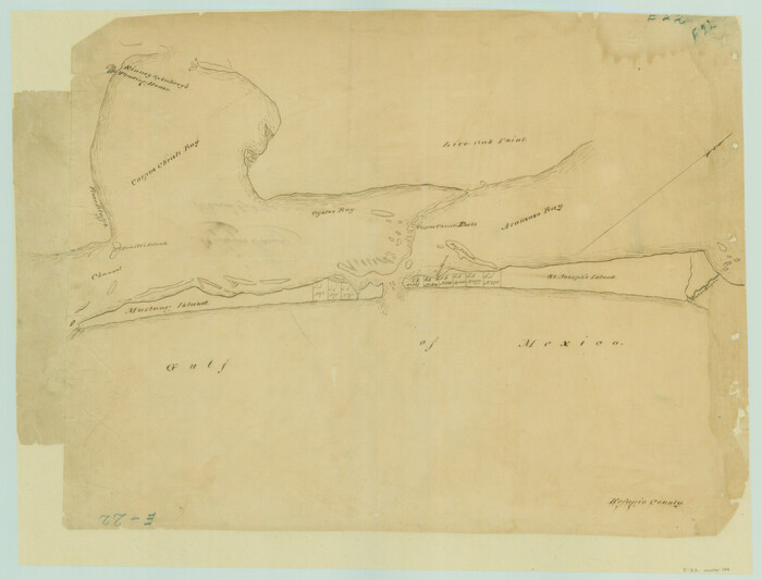
[Corpus Christi Bay and Aransas Bay]
1840
![1689, [Sketch with field note calls of the boundaries of Webb, Duval, Jim Wells,Nueces, Kleberg, Zapata, Jim Hogg, Brooks, Willacy, Starr, Hidalgo and Cameron Counties], General Map Collection](https://historictexasmaps.com/wmedia_w700/pdf_converted_jpg/qi_pdf_thumbnail_720.jpg)
[Sketch with field note calls of the boundaries of Webb, Duval, Jim Wells,Nueces, Kleberg, Zapata, Jim Hogg, Brooks, Willacy, Starr, Hidalgo and Cameron Counties]
1915
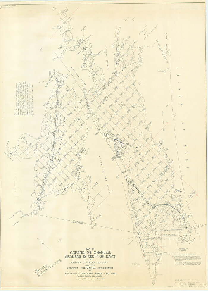
Copano, St. Charles, Aransas and Red Fish Bays, in Aransas and Nueces Counties, showing Subdivision for Mineral Development
1949
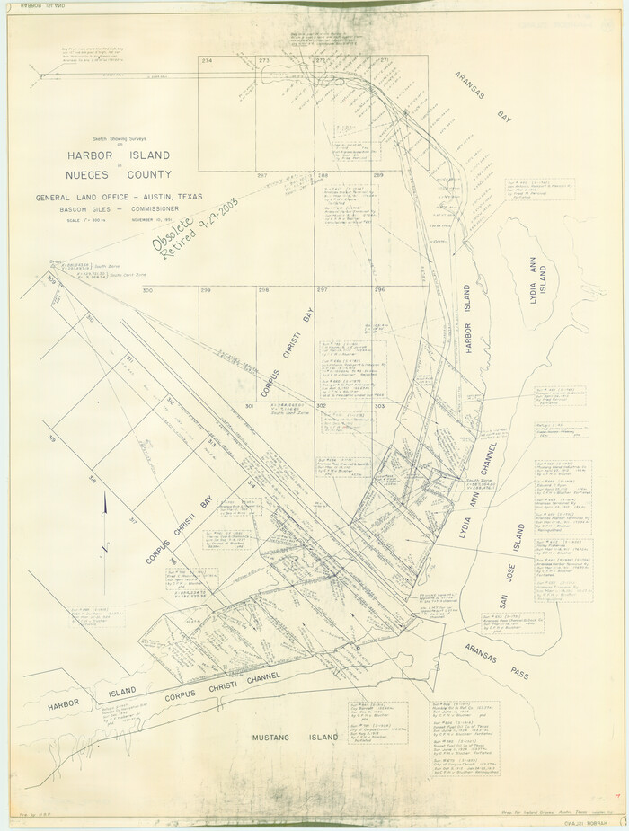
Sketch Showing surveys on Harbor Island in Nueces County
1951
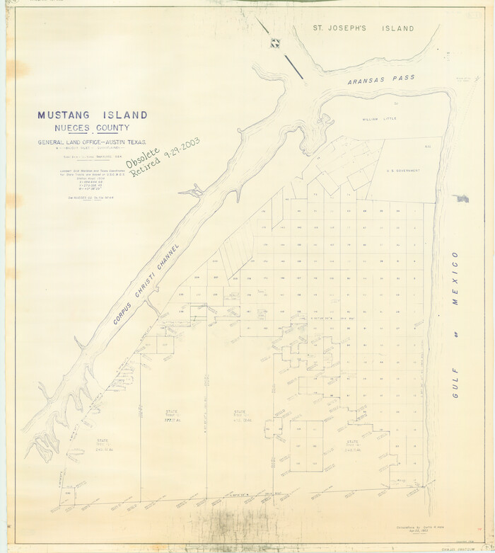
Mustang Island, Nueces County
1952

State Tracts in East Part of Corpus Christi Bay, surveys on Harbor Island and Corpus Christi Channel, Nueces County
1957

Office Sketch of surveys on St. Joseph and Mustang Islands, Aransas, and Nueces Counties
1957

Part of Laguna Madre in Nueces and Kleberg Counties, showing Subdivision for Mineral Development
1948

Texas Gulf Coast, from the Sabine River to the Rio Grande as Subdivided for Mineral Development; Aransas, Nueces, Kleberg, Kenedy, Willacy, and Cameron Counties
1976

Map of the District of San Patricio and Nueces
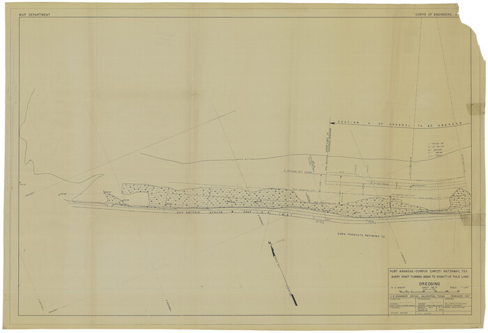
Port Aransas-Corpus Christi Waterway, Texas, Avery Point Turning Basin to Vicinity of Tule Lake - Dredging
1947
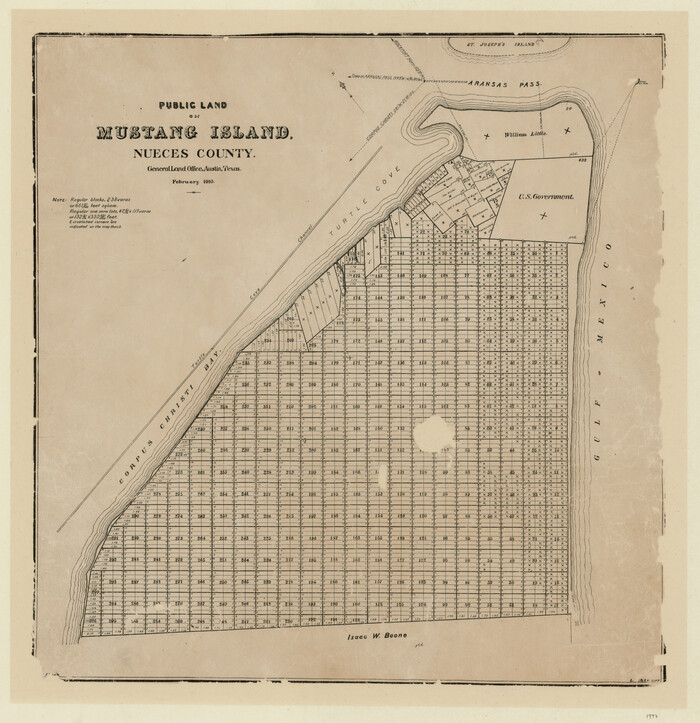
Public Land on Mustang Island, Nueces County
1910

Nueces County Rolled Sketch 45
1941
-
Size
41.0 x 40.9 inches
-
Map/Doc
10203
-
Creation Date
1941

Nueces County Rolled Sketch 100
-
Size
43.9 x 37.7 inches
-
Map/Doc
10208

Nueces County Rolled Sketch 100
-
Size
30.6 x 40.7 inches
-
Map/Doc
10209

Nueces County Rolled Sketch 100
1938
-
Size
30.4 x 30.4 inches
-
Map/Doc
10210
-
Creation Date
1938

Nueces County Rolled Sketch 104A
1975
-
Size
54.2 x 35.9 inches
-
Map/Doc
10293
-
Creation Date
1975

Nueces County Rolled Sketch 45
1941
-
Size
40.5 x 45.0 inches
-
Map/Doc
10295
-
Creation Date
1941

Aransas County Sketch File 11
-
Size
40.6 x 31.4 inches
-
Map/Doc
10318

Nueces County Rolled Sketch 100
-
Size
21.3 x 32.7 inches
-
Map/Doc
10697

Nueces County Rolled Sketch 41
1965
-
Size
16.9 x 27.4 inches
-
Map/Doc
10740
-
Creation Date
1965
![10775, [Sketch of Surveys in Brooks County, Texas], Maddox Collection](https://historictexasmaps.com/wmedia_w700/maps/10775.tif.jpg)
[Sketch of Surveys in Brooks County, Texas]
-
Size
12.1 x 12.4 inches
-
Map/Doc
10775
![10783, [Surveying Sketch of M. Farley, R. Word, S. S. Hervey, et al in Kleberg County, Texas], Maddox Collection](https://historictexasmaps.com/wmedia_w700/maps/10783.tif.jpg)
[Surveying Sketch of M. Farley, R. Word, S. S. Hervey, et al in Kleberg County, Texas]
-
Size
23.2 x 40.6 inches
-
Map/Doc
10783

Aransas County Sketch File 12a
1889
-
Size
14.1 x 8.8 inches
-
Map/Doc
13122
-
Creation Date
1889

Aransas County Sketch File 14
1891
-
Size
14.0 x 8.5 inches
-
Map/Doc
13128
-
Creation Date
1891

Aransas County Sketch File 18
1888
-
Size
12.7 x 8.2 inches
-
Map/Doc
13149
-
Creation Date
1888

Aransas County Sketch File 22
1910
-
Size
14.8 x 9.1 inches
-
Map/Doc
13166
-
Creation Date
1910

Aransas County Sketch File 26
1896
-
Size
5.2 x 4.7 inches
-
Map/Doc
13219
-
Creation Date
1896
![140, [Aransas and Corpus Christi Bays], General Map Collection](https://historictexasmaps.com/wmedia_w700/maps/140.tif.jpg)
[Aransas and Corpus Christi Bays]
1839
-
Size
11.4 x 16.5 inches
-
Map/Doc
140
-
Creation Date
1839
![141, [Surveys on San Antonio River and Aransas Bay area], General Map Collection](https://historictexasmaps.com/wmedia_w700/maps/141.tif.jpg)
[Surveys on San Antonio River and Aransas Bay area]
1840
-
Size
24.1 x 33.0 inches
-
Map/Doc
141
-
Creation Date
1840
![144, [Corpus Christi Bay and Aransas Bay], General Map Collection](https://historictexasmaps.com/wmedia_w700/maps/144.tif.jpg)
[Corpus Christi Bay and Aransas Bay]
1840
-
Size
17.1 x 22.4 inches
-
Map/Doc
144
-
Creation Date
1840
![1689, [Sketch with field note calls of the boundaries of Webb, Duval, Jim Wells,Nueces, Kleberg, Zapata, Jim Hogg, Brooks, Willacy, Starr, Hidalgo and Cameron Counties], General Map Collection](https://historictexasmaps.com/wmedia_w700/pdf_converted_jpg/qi_pdf_thumbnail_720.jpg)
[Sketch with field note calls of the boundaries of Webb, Duval, Jim Wells,Nueces, Kleberg, Zapata, Jim Hogg, Brooks, Willacy, Starr, Hidalgo and Cameron Counties]
1915
-
Size
21.9 x 26.2 inches
-
Map/Doc
1689
-
Creation Date
1915

Copano, St. Charles, Aransas and Red Fish Bays, in Aransas and Nueces Counties, showing Subdivision for Mineral Development
1949
-
Size
55.9 x 40.0 inches
-
Map/Doc
1914
-
Creation Date
1949

Sketch Showing surveys on Harbor Island in Nueces County
1951
-
Size
45.7 x 34.6 inches
-
Map/Doc
1915
-
Creation Date
1951

Mustang Island, Nueces County
1952
-
Size
39.5 x 35.4 inches
-
Map/Doc
1918
-
Creation Date
1952

State Tracts in East Part of Corpus Christi Bay, surveys on Harbor Island and Corpus Christi Channel, Nueces County
1957
-
Size
54.1 x 37.7 inches
-
Map/Doc
1919
-
Creation Date
1957

Office Sketch of surveys on St. Joseph and Mustang Islands, Aransas, and Nueces Counties
1957
-
Size
42.6 x 18.0 inches
-
Map/Doc
1920
-
Creation Date
1957

Part of Laguna Madre in Nueces and Kleberg Counties, showing Subdivision for Mineral Development
1948
-
Size
36.9 x 26.6 inches
-
Map/Doc
1922
-
Creation Date
1948

Texas Gulf Coast, from the Sabine River to the Rio Grande as Subdivided for Mineral Development; Aransas, Nueces, Kleberg, Kenedy, Willacy, and Cameron Counties
1976
-
Size
118.0 x 43.0 inches
-
Map/Doc
1940
-
Creation Date
1976

Map of the District of San Patricio and Nueces
-
Size
93.8 x 67.5 inches
-
Map/Doc
1955

Port Aransas-Corpus Christi Waterway, Texas, Avery Point Turning Basin to Vicinity of Tule Lake - Dredging
1947
-
Size
28.6 x 41.8 inches
-
Map/Doc
1996
-
Creation Date
1947

Public Land on Mustang Island, Nueces County
1910
-
Size
17.0 x 17.5 inches
-
Map/Doc
1997
-
Creation Date
1910