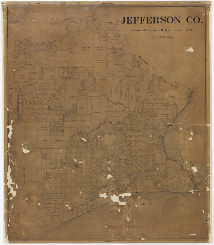
Jefferson County Rolled Sketch 46
1969
 
                                                                        
                                Chambers County Sketch File 29
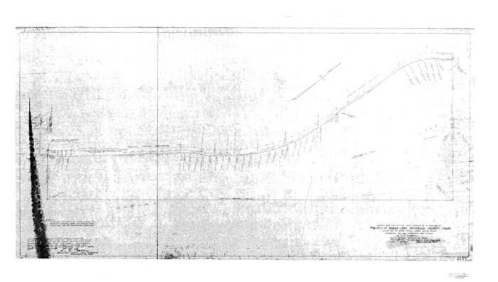
 
                                                                        
                                Jefferson County Sketch File 49
1955
 
                                                                        
                                Chambers County Sketch File 24
1909
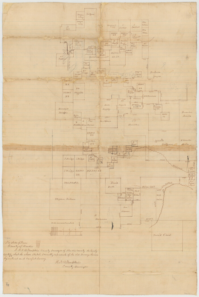
 
                                                                        
                                Hardin County Sketch File 33
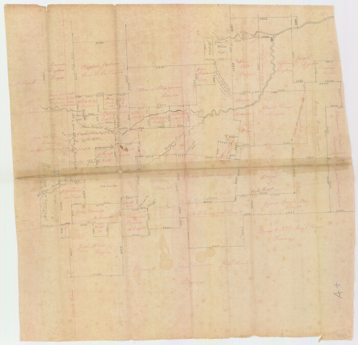
 
                                                                        
                                Jefferson County Sketch File 15b
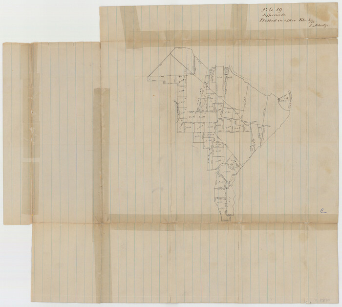
 
                                                                        
                                Jefferson County Sketch File 19
1872
 
                                                                        
                                Jefferson County Sketch File 23
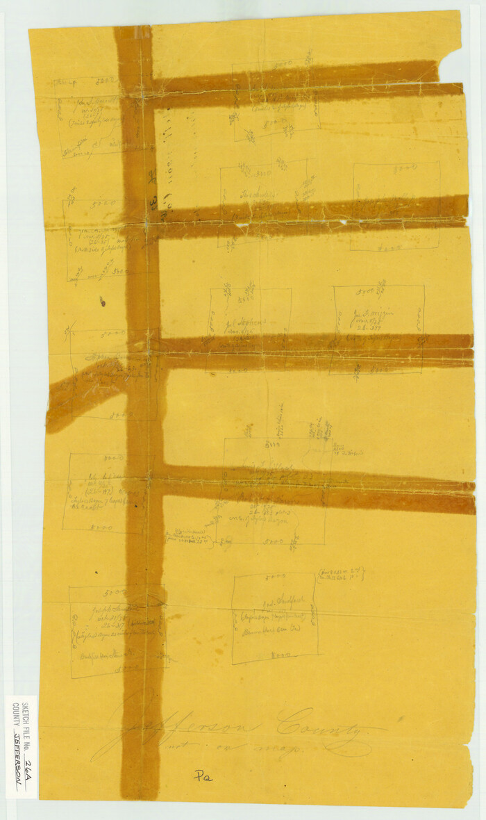
 
                                                                        
                                Jefferson County Sketch File 26a
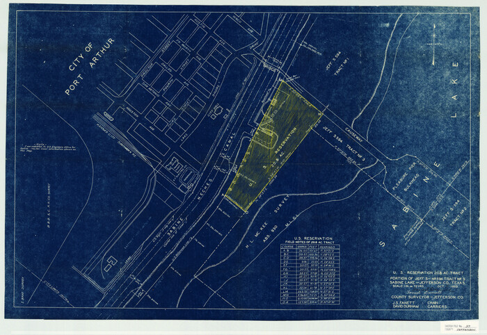
 
                                                                        
                                Jefferson County Sketch File 37
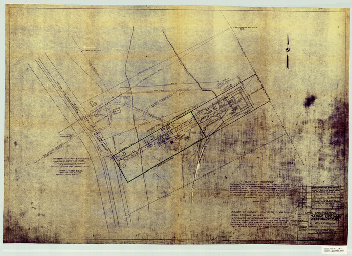
 
                                                                        
                                Jefferson County Sketch File 42
1945
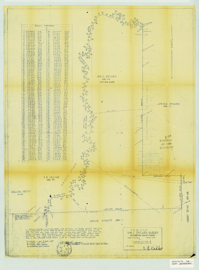
 
                                                                        
                                Jefferson County Sketch File 43
1957
 
                                                                        
                                Jefferson County Sketch File 44
1917
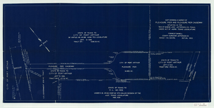
 
                                                                        
                                Jefferson County Sketch File 45
1933
 
                                                                        
                                Jefferson County Sketch File 46
1933
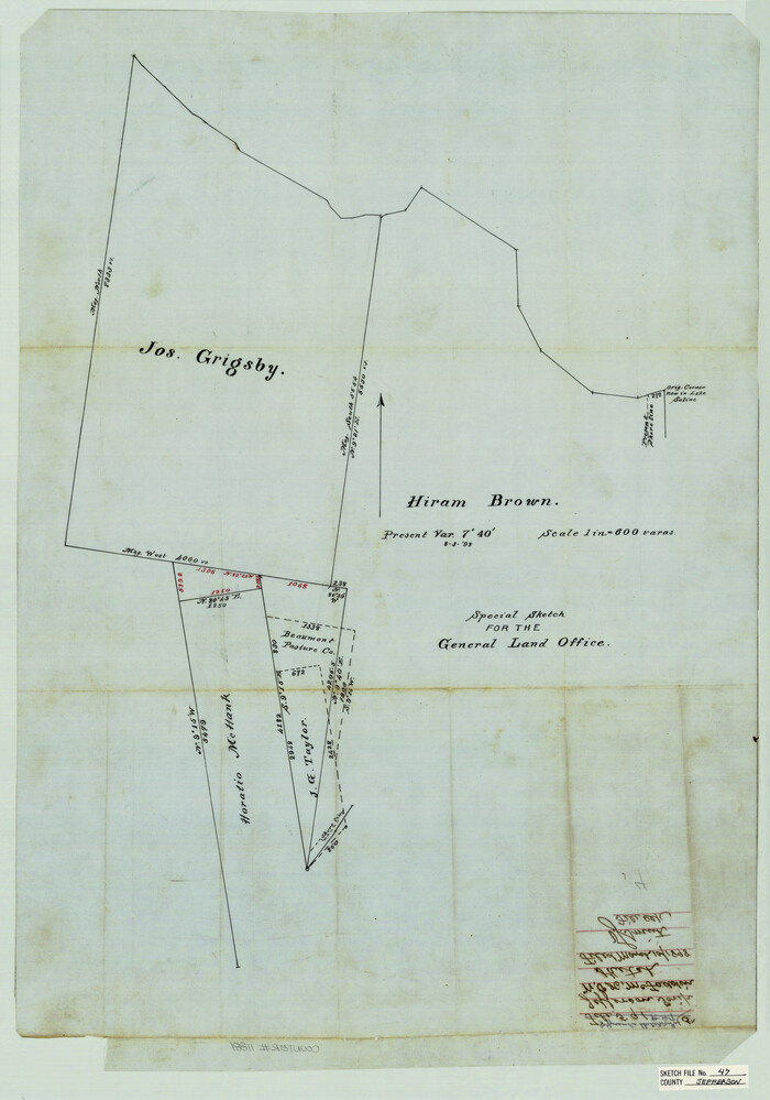
 
                                                                        
                                Jefferson County Sketch File 47
1898
 
                                                                        
                                Jefferson County Sketch File 48
1875
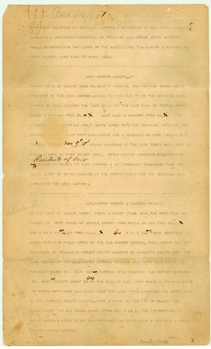
 
                                                                        
                                Chambers County Sketch File 19
 
                                                                        
                                West Half of Sabine Lake, Jefferson County, showing Subdivision for Mineral Development; do not use; see Map 25a
1956
 
                                                                        
                                Revised map of west half of Sabine Lake and Sabine Pass, showing subdivision for mineral development; Jefferson and Orange Counties
1979
 
                                                                        
                                Buenaventura Reyes Grants
1896
 
                                                                        
                                Hydrography of Sabine Pass and Lake, La. And Tex.
1885
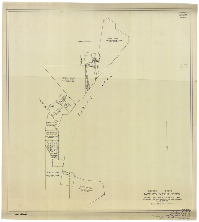
 
                                                                        
                                Working Sketch Patents & Field Notes, Sabine Lake Area
1959
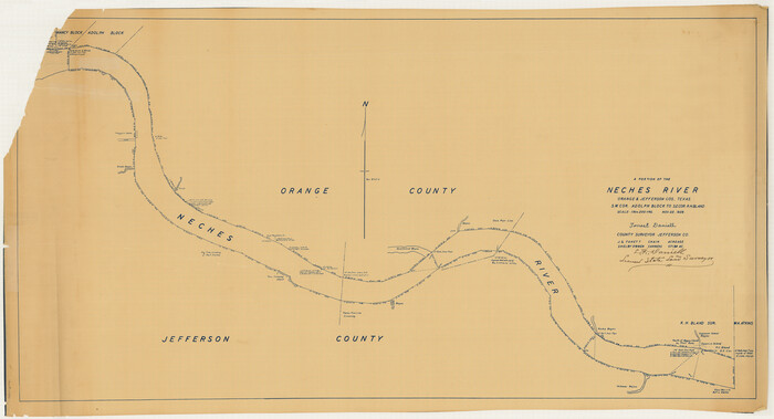
 
                                                                        
                                [Neches River Bed, Plat and Calculations]
1928
 
                                                                        
                                Texas Gulf Coast Map from the Sabine River to the Rio Grande as subdivided for mineral development
1966
 
                                                                        
                                Hardin County Sketch File 7
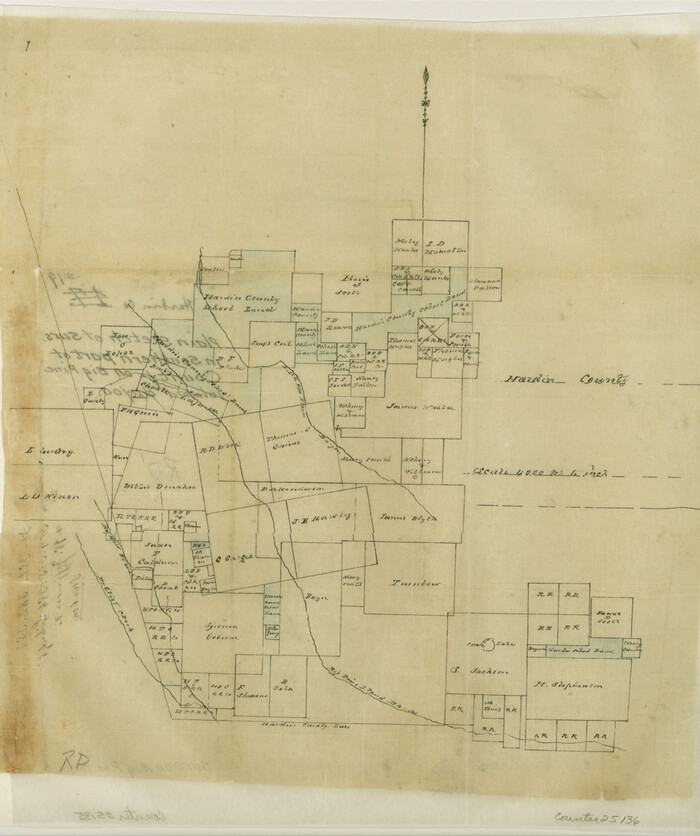
 
                                                                        
                                Hardin County Sketch File 19
 
                                                                        
                                Hardin County Sketch File 20
 
                                                                        
                                Jefferson County Sketch File 1
 
                                                
                    Jefferson County Rolled Sketch 46
1969
- 
                                Size12.3 x 5.9 inches 
- 
                            Map/Doc10198 
- 
                                Creation Date1969 
 
                                                
                    Chambers County Sketch File 29
- 
                                Size29.0 x 34.5 inches 
- 
                            Map/Doc10332 
 
                                                
                    Jefferson County Sketch File 49
1955
- 
                                Size51.1 x 29.0 inches 
- 
                            Map/Doc10508 
- 
                                Creation Date1955 
 
                                                
                    Chambers County Sketch File 24
1909
- 
                                Size34.1 x 14.5 inches 
- 
                            Map/Doc11065 
- 
                                Creation Date1909 
 
                                                
                    Hardin County Sketch File 33
- 
                                Size25.4 x 35.4 inches 
- 
                            Map/Doc11632 
 
                                                
                    Jefferson County Sketch File 15b
- 
                                Size17.4 x 33.2 inches 
- 
                            Map/Doc11869 
 
                                                
                    Jefferson County Sketch File 19
1872
- 
                                Size15.0 x 20.1 inches 
- 
                            Map/Doc11870 
- 
                                Creation Date1872 
 
                                                
                    Jefferson County Sketch File 23
- 
                                Size15.8 x 17.8 inches 
- 
                            Map/Doc11871 
 
                                                
                    Jefferson County Sketch File 26a
- 
                                Size19.5 x 11.6 inches 
- 
                            Map/Doc11872 
 
                                                
                    Jefferson County Sketch File 37
- 
                                Size22.3 x 32.4 inches 
- 
                            Map/Doc11875 
 
                                                
                    Jefferson County Sketch File 42
1945
- 
                                Size25.5 x 35.1 inches 
- 
                            Map/Doc11876 
- 
                                Creation Date1945 
 
                                                
                    Jefferson County Sketch File 43
1957
- 
                                Size26.6 x 19.6 inches 
- 
                            Map/Doc11877 
- 
                                Creation Date1957 
 
                                                
                    Jefferson County Sketch File 44
1917
- 
                                Size22.8 x 32.9 inches 
- 
                            Map/Doc11878 
- 
                                Creation Date1917 
 
                                                
                    Jefferson County Sketch File 45
1933
- 
                                Size16.7 x 33.0 inches 
- 
                            Map/Doc11879 
- 
                                Creation Date1933 
 
                                                
                    Jefferson County Sketch File 46
1933
- 
                                Size20.8 x 31.2 inches 
- 
                            Map/Doc11880 
- 
                                Creation Date1933 
 
                                                
                    Jefferson County Sketch File 47
1898
- 
                                Size27.2 x 19.1 inches 
- 
                            Map/Doc11881 
- 
                                Creation Date1898 
 
                                                
                    Jefferson County Sketch File 48
1875
- 
                                Size19.8 x 21.0 inches 
- 
                            Map/Doc11882 
- 
                                Creation Date1875 
 
                                                
                    Jefferson Co.
1918
- 
                                Size46.7 x 40.8 inches 
- 
                            Map/Doc16860 
- 
                                Creation Date1918 
 
                                                
                    Chambers County Sketch File 19
- 
                                Size14.1 x 8.6 inches 
- 
                            Map/Doc17578 
 
                                                
                    West Half of Sabine Lake, Jefferson County, showing Subdivision for Mineral Development; do not use; see Map 25a
1956
- 
                                Size38.2 x 28.4 inches 
- 
                            Map/Doc1930 
- 
                                Creation Date1956 
 
                                                
                    Revised map of west half of Sabine Lake and Sabine Pass, showing subdivision for mineral development; Jefferson and Orange Counties
1979
- 
                                Size72.1 x 41.5 inches 
- 
                            Map/Doc1935 
- 
                                Creation Date1979 
 
                                                
                    Buenaventura Reyes Grants
1896
- 
                                Size14.9 x 13.5 inches 
- 
                            Map/Doc2057 
- 
                                Creation Date1896 
 
                                                
                    Hydrography of Sabine Pass and Lake, La. And Tex.
1885
- 
                                Size53.2 x 32.5 inches 
- 
                            Map/Doc2085 
- 
                                Creation Date1885 
 
                                                
                    Working Sketch Patents & Field Notes, Sabine Lake Area
1959
- 
                                Size30.2 x 27.0 inches 
- 
                            Map/Doc2455 
- 
                                Creation Date1959 
![2466, [Neches River Bed, Plat and Calculations], General Map Collection](https://historictexasmaps.com/wmedia_w700/maps/2466-GC.tif.jpg) 
                                                
                    [Neches River Bed, Plat and Calculations]
1928
- 
                                Size27.3 x 51.0 inches 
- 
                            Map/Doc2466 
- 
                                Creation Date1928 
 
                                                
                    Texas Gulf Coast Map from the Sabine River to the Rio Grande as subdivided for mineral development
1966
- 
                                Size29.1 x 41.7 inches 
- 
                            Map/Doc2496 
- 
                                Creation Date1966 
 
                                                
                    Hardin County Sketch File 7
- 
                                Size7.2 x 5.9 inches 
- 
                            Map/Doc25099 
 
                                                
                    Hardin County Sketch File 19
- 
                                Size13.0 x 10.9 inches 
- 
                            Map/Doc25135 
 
                                                
                    Hardin County Sketch File 20
- 
                                Size9.4 x 7.9 inches 
- 
                            Map/Doc25137 
 
                                                
                    Jefferson County Sketch File 1
- 
                                Size8.8 x 7.6 inches 
- 
                            Map/Doc28086