Gonzales County Rolled Sketch 2

Print $20.00
- Digital $50.00
Gonzales County Rolled Sketch 2
2021
Size: 24.0 x 35.9 inches
96581
Gonzales County Rolled Sketch 3

Print $20.00
- Digital $50.00
Gonzales County Rolled Sketch 3
2021
Size: 24.4 x 35.6 inches
96582
The Republic County of Gonzales. Boundaries Defined, December 14, 1837

Print $20.00
The Republic County of Gonzales. Boundaries Defined, December 14, 1837
2020
Size: 14.7 x 21.7 inches
96153
The Republic County of Gonzales. December 18, 1837

Print $20.00
The Republic County of Gonzales. December 18, 1837
2020
Size: 14.7 x 21.7 inches
96154
The Republic County of Gonzales. May 3, 1838

Print $20.00
The Republic County of Gonzales. May 3, 1838
2020
Size: 14.7 x 21.7 inches
96155
The Republic County of Gonzales. May 24, 1838

Print $20.00
The Republic County of Gonzales. May 24, 1838
2020
Size: 14.7 x 21.7 inches
96156
The Republic County of Gonzales. January 29, 1842

Print $20.00
The Republic County of Gonzales. January 29, 1842
2020
Size: 14.7 x 21.7 inches
96157
The Republic County of Gonzales. February 2, 1842

Print $20.00
The Republic County of Gonzales. February 2, 1842
2020
Size: 14.7 x 21.7 inches
96158
The Republic County of Gonzales. Spring 1842

Print $20.00
The Republic County of Gonzales. Spring 1842
2020
Size: 14.7 x 21.7 inches
96159
The Republic County of Gonzales. December 29, 1845

Print $20.00
The Republic County of Gonzales. December 29, 1845
2020
Size: 14.7 x 21.7 inches
96160
Gonzales County Working Sketch Graphic Index

Print $40.00
- Digital $50.00
Gonzales County Working Sketch Graphic Index
1986
Size: 40.2 x 53.0 inches
76556
Gonzales County Working Sketch 15

Print $20.00
- Digital $50.00
Gonzales County Working Sketch 15
1981
Size: 31.1 x 22.4 inches
63231
Gonzales County Working Sketch 14

Print $20.00
- Digital $50.00
Gonzales County Working Sketch 14
1981
Size: 18.3 x 20.9 inches
63230
Gonzales County Working Sketch 12

Print $20.00
- Digital $50.00
Gonzales County Working Sketch 12
1981
Size: 13.1 x 11.9 inches
63228
Gonzales County Working Sketch 13

Print $2.00
- Digital $50.00
Gonzales County Working Sketch 13
1981
Size: 12.5 x 7.6 inches
63229
Gonzales County Working Sketch 11
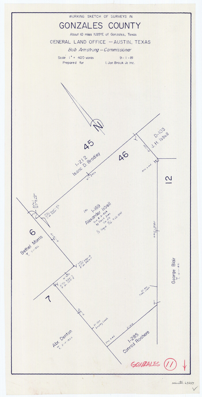
Print $20.00
- Digital $50.00
Gonzales County Working Sketch 11
1981
Size: 22.2 x 11.3 inches
63227
Gonzales County Working Sketch 10

Print $20.00
- Digital $50.00
Gonzales County Working Sketch 10
1981
Size: 18.9 x 14.7 inches
63226
Gonzales County Working Sketch 9

Print $20.00
- Digital $50.00
Gonzales County Working Sketch 9
1981
Size: 18.8 x 18.2 inches
63225
Gonzales County Working Sketch 8

Print $20.00
- Digital $50.00
Gonzales County Working Sketch 8
1981
Size: 19.0 x 16.7 inches
63224
Gonzales County Working Sketch 7

Print $20.00
- Digital $50.00
Gonzales County Working Sketch 7
1981
Size: 19.1 x 17.0 inches
63223
Fayette County Working Sketch 3

Print $20.00
- Digital $50.00
Fayette County Working Sketch 3
1980
Size: 29.0 x 36.3 inches
69167
Gonzales County Working Sketch 5

Print $20.00
- Digital $50.00
Gonzales County Working Sketch 5
1980
Size: 31.2 x 43.6 inches
63221
Gonzales County Working Sketch 4a

Print $20.00
- Digital $50.00
Gonzales County Working Sketch 4a
1979
Size: 30.9 x 32.2 inches
63219
Gonzales County Working Sketch 4b

Print $20.00
- Digital $50.00
Gonzales County Working Sketch 4b
1979
Size: 21.2 x 27.3 inches
63220
Wilson County Working Sketch 9

Print $20.00
- Digital $50.00
Wilson County Working Sketch 9
1979
Size: 31.6 x 33.0 inches
72589
General Highway Map, Gonzales County, Texas

Print $20.00
General Highway Map, Gonzales County, Texas
1961
Size: 18.2 x 24.7 inches
79482
Gonzales County Working Sketch 3

Print $20.00
- Digital $50.00
Gonzales County Working Sketch 3
1943
Size: 37.8 x 41.5 inches
63218
Gonzales County Rolled Sketch 2
Print $20.00
- Digital $50.00
Gonzales County Rolled Sketch 2
2021
-
Size
24.0 x 35.9 inches
-
Map/Doc
96581
-
Creation Date
2021
Gonzales County Rolled Sketch 3
Print $20.00
- Digital $50.00
Gonzales County Rolled Sketch 3
2021
-
Size
24.4 x 35.6 inches
-
Map/Doc
96582
-
Creation Date
2021
The Republic County of Gonzales. Boundaries Defined, December 14, 1837
Print $20.00
The Republic County of Gonzales. Boundaries Defined, December 14, 1837
2020
-
Size
14.7 x 21.7 inches
-
Map/Doc
96153
-
Creation Date
2020
The Republic County of Gonzales. December 18, 1837
Print $20.00
The Republic County of Gonzales. December 18, 1837
2020
-
Size
14.7 x 21.7 inches
-
Map/Doc
96154
-
Creation Date
2020
The Republic County of Gonzales. May 3, 1838
Print $20.00
The Republic County of Gonzales. May 3, 1838
2020
-
Size
14.7 x 21.7 inches
-
Map/Doc
96155
-
Creation Date
2020
The Republic County of Gonzales. May 24, 1838
Print $20.00
The Republic County of Gonzales. May 24, 1838
2020
-
Size
14.7 x 21.7 inches
-
Map/Doc
96156
-
Creation Date
2020
The Republic County of Gonzales. January 29, 1842
Print $20.00
The Republic County of Gonzales. January 29, 1842
2020
-
Size
14.7 x 21.7 inches
-
Map/Doc
96157
-
Creation Date
2020
The Republic County of Gonzales. February 2, 1842
Print $20.00
The Republic County of Gonzales. February 2, 1842
2020
-
Size
14.7 x 21.7 inches
-
Map/Doc
96158
-
Creation Date
2020
The Republic County of Gonzales. Spring 1842
Print $20.00
The Republic County of Gonzales. Spring 1842
2020
-
Size
14.7 x 21.7 inches
-
Map/Doc
96159
-
Creation Date
2020
The Republic County of Gonzales. December 29, 1845
Print $20.00
The Republic County of Gonzales. December 29, 1845
2020
-
Size
14.7 x 21.7 inches
-
Map/Doc
96160
-
Creation Date
2020
Gonzales County

Print $40.00
- Digital $50.00
Gonzales County
1986
-
Size
41.6 x 54.7 inches
-
Map/Doc
73160
-
Creation Date
1986
Gonzales County Working Sketch Graphic Index
Print $40.00
- Digital $50.00
Gonzales County Working Sketch Graphic Index
1986
-
Size
40.2 x 53.0 inches
-
Map/Doc
76556
-
Creation Date
1986
Gonzales County

Print $40.00
- Digital $50.00
Gonzales County
1986
-
Size
39.9 x 52.0 inches
-
Map/Doc
77292
-
Creation Date
1986
Gonzales County

Print $40.00
- Digital $50.00
Gonzales County
1986
-
Size
42.2 x 55.8 inches
-
Map/Doc
95510
-
Creation Date
1986
Gonzales County Working Sketch 15
Print $20.00
- Digital $50.00
Gonzales County Working Sketch 15
1981
-
Size
31.1 x 22.4 inches
-
Map/Doc
63231
-
Creation Date
1981
Gonzales County Working Sketch 14
Print $20.00
- Digital $50.00
Gonzales County Working Sketch 14
1981
-
Size
18.3 x 20.9 inches
-
Map/Doc
63230
-
Creation Date
1981
Gonzales County Working Sketch 12
Print $20.00
- Digital $50.00
Gonzales County Working Sketch 12
1981
-
Size
13.1 x 11.9 inches
-
Map/Doc
63228
-
Creation Date
1981
Gonzales County Working Sketch 13
Print $2.00
- Digital $50.00
Gonzales County Working Sketch 13
1981
-
Size
12.5 x 7.6 inches
-
Map/Doc
63229
-
Creation Date
1981
Gonzales County Working Sketch 11
Print $20.00
- Digital $50.00
Gonzales County Working Sketch 11
1981
-
Size
22.2 x 11.3 inches
-
Map/Doc
63227
-
Creation Date
1981
Gonzales County Working Sketch 10
Print $20.00
- Digital $50.00
Gonzales County Working Sketch 10
1981
-
Size
18.9 x 14.7 inches
-
Map/Doc
63226
-
Creation Date
1981
Gonzales County Working Sketch 9
Print $20.00
- Digital $50.00
Gonzales County Working Sketch 9
1981
-
Size
18.8 x 18.2 inches
-
Map/Doc
63225
-
Creation Date
1981
Gonzales County Working Sketch 8
Print $20.00
- Digital $50.00
Gonzales County Working Sketch 8
1981
-
Size
19.0 x 16.7 inches
-
Map/Doc
63224
-
Creation Date
1981
Gonzales County Working Sketch 7
Print $20.00
- Digital $50.00
Gonzales County Working Sketch 7
1981
-
Size
19.1 x 17.0 inches
-
Map/Doc
63223
-
Creation Date
1981
Fayette County Working Sketch 3
Print $20.00
- Digital $50.00
Fayette County Working Sketch 3
1980
-
Size
29.0 x 36.3 inches
-
Map/Doc
69167
-
Creation Date
1980
Gonzales County Working Sketch 5
Print $20.00
- Digital $50.00
Gonzales County Working Sketch 5
1980
-
Size
31.2 x 43.6 inches
-
Map/Doc
63221
-
Creation Date
1980
Gonzales County Working Sketch 4a
Print $20.00
- Digital $50.00
Gonzales County Working Sketch 4a
1979
-
Size
30.9 x 32.2 inches
-
Map/Doc
63219
-
Creation Date
1979
Gonzales County Working Sketch 4b
Print $20.00
- Digital $50.00
Gonzales County Working Sketch 4b
1979
-
Size
21.2 x 27.3 inches
-
Map/Doc
63220
-
Creation Date
1979
Wilson County Working Sketch 9
Print $20.00
- Digital $50.00
Wilson County Working Sketch 9
1979
-
Size
31.6 x 33.0 inches
-
Map/Doc
72589
-
Creation Date
1979
General Highway Map, Gonzales County, Texas
Print $20.00
General Highway Map, Gonzales County, Texas
1961
-
Size
18.2 x 24.7 inches
-
Map/Doc
79482
-
Creation Date
1961
Gonzales County Working Sketch 3
Print $20.00
- Digital $50.00
Gonzales County Working Sketch 3
1943
-
Size
37.8 x 41.5 inches
-
Map/Doc
63218
-
Creation Date
1943