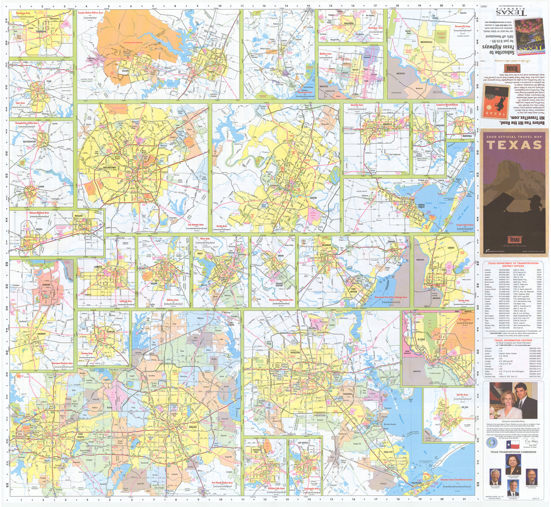
2008 Official Travel Map Texas
[Recto - Various Texas Cities]
-
Map/Doc
94309
-
Collection
General Map Collection
-
Object Dates
2008 (Edition Date)
-
People and Organizations
Texas Department of Transportation (Publisher)
-
Subjects
City
-
Height x Width
33.5 x 36.4 inches
85.1 x 92.5 cm
-
Medium
paper, etching/engraving/lithograph
-
Comments
For map of Texas on verso see 94310. For reseach purposes only.
Related maps
2008 Official Travel Map Texas

Digital $50.00
2008 Official Travel Map Texas
Size 33.4 x 36.5 inches
Map/Doc 94310
Part of: General Map Collection
Falls County Boundary File 1

Print $64.00
- Digital $50.00
Falls County Boundary File 1
Size 9.2 x 4.4 inches
Map/Doc 53241
Val Verde County Sketch File XXX2

Print $20.00
- Digital $50.00
Val Verde County Sketch File XXX2
Size 18.6 x 17.9 inches
Map/Doc 12548
Flight Mission No. CRK-5P, Frame 161, Refugio County

Print $20.00
- Digital $50.00
Flight Mission No. CRK-5P, Frame 161, Refugio County
1956
Size 18.5 x 22.4 inches
Map/Doc 86942
Harrison County Sketch File 20

Print $20.00
- Digital $50.00
Harrison County Sketch File 20
1946
Size 26.4 x 21.8 inches
Map/Doc 11693
Childress County Sketch File 17a

Print $96.00
- Digital $50.00
Childress County Sketch File 17a
Size 12.4 x 8.6 inches
Map/Doc 18316

Dimmit County Working Sketch 8

Print $20.00
- Digital $50.00
Dimmit County Working Sketch 8
1930
Size 35.8 x 29.9 inches
Map/Doc 68669
Upton County Working Sketch 42

Print $40.00
- Digital $50.00
Upton County Working Sketch 42
1962
Size 56.0 x 42.9 inches
Map/Doc 69538
Flight Mission No. BQR-7K, Frame 26, Brazoria County

Print $20.00
- Digital $50.00
Flight Mission No. BQR-7K, Frame 26, Brazoria County
1952
Size 18.7 x 22.3 inches
Map/Doc 84024
Right of Way and Track Map, Dayton-Goose Creek Ry. Co., Station 401+20 to Station 612+40

Print $40.00
- Digital $50.00
Right of Way and Track Map, Dayton-Goose Creek Ry. Co., Station 401+20 to Station 612+40
1917
Size 25.4 x 56.4 inches
Map/Doc 64367
Stephens County Sketch File 28

Print $14.00
- Digital $50.00
Stephens County Sketch File 28
1996
Size 14.2 x 8.6 inches
Map/Doc 37104
Hutchinson County Sketch File 48

Print $38.00
- Digital $50.00
Hutchinson County Sketch File 48
1989
Size 11.2 x 8.8 inches
Map/Doc 27400
You may also like
Amistad International Reservoir on Rio Grande 64

Print $20.00
- Digital $50.00
Amistad International Reservoir on Rio Grande 64
1949
Size 28.4 x 39.6 inches
Map/Doc 73349
Rusk County Working Sketch 2

Print $40.00
- Digital $50.00
Rusk County Working Sketch 2
Size 36.4 x 58.2 inches
Map/Doc 63637
Fayette County Working Sketch 2

Print $20.00
- Digital $50.00
Fayette County Working Sketch 2
1979
Size 40.6 x 37.8 inches
Map/Doc 69166
[Surveys in Austin's Colony along the Yegua River and Cedar Creek]
![67, [Surveys in Austin's Colony along the Yegua River and Cedar Creek], General Map Collection](https://historictexasmaps.com/wmedia_w700/maps/67.tif.jpg)
Print $20.00
- Digital $50.00
[Surveys in Austin's Colony along the Yegua River and Cedar Creek]
1835
Size 15.7 x 19.3 inches
Map/Doc 67
Angelina County Sketch File 26

Print $40.00
- Digital $50.00
Angelina County Sketch File 26
1909
Size 18.0 x 23.0 inches
Map/Doc 10817
General Highway Map, Polk County, Texas

Print $20.00
General Highway Map, Polk County, Texas
1961
Size 18.2 x 24.4 inches
Map/Doc 79629
Working Sketch in Stephens County

Print $2.00
- Digital $50.00
Working Sketch in Stephens County
1919
Size 9.2 x 11.4 inches
Map/Doc 91911
Rio Grande, Donna Sheet

Print $20.00
- Digital $50.00
Rio Grande, Donna Sheet
1937
Size 37.5 x 37.4 inches
Map/Doc 65117
Bandera County Working Sketch 40

Print $20.00
- Digital $50.00
Bandera County Working Sketch 40
1977
Size 29.9 x 23.7 inches
Map/Doc 67636
San Patricio County Rolled Sketch 17

Print $20.00
- Digital $50.00
San Patricio County Rolled Sketch 17
1917
Size 18.1 x 28.1 inches
Map/Doc 7574
Sutton County Sketch File 7

Print $4.00
- Digital $50.00
Sutton County Sketch File 7
Size 10.6 x 8.7 inches
Map/Doc 37365
Calhoun County Rolled Sketch 30

Print $20.00
- Digital $50.00
Calhoun County Rolled Sketch 30
1974
Size 18.5 x 27.5 inches
Map/Doc 5496