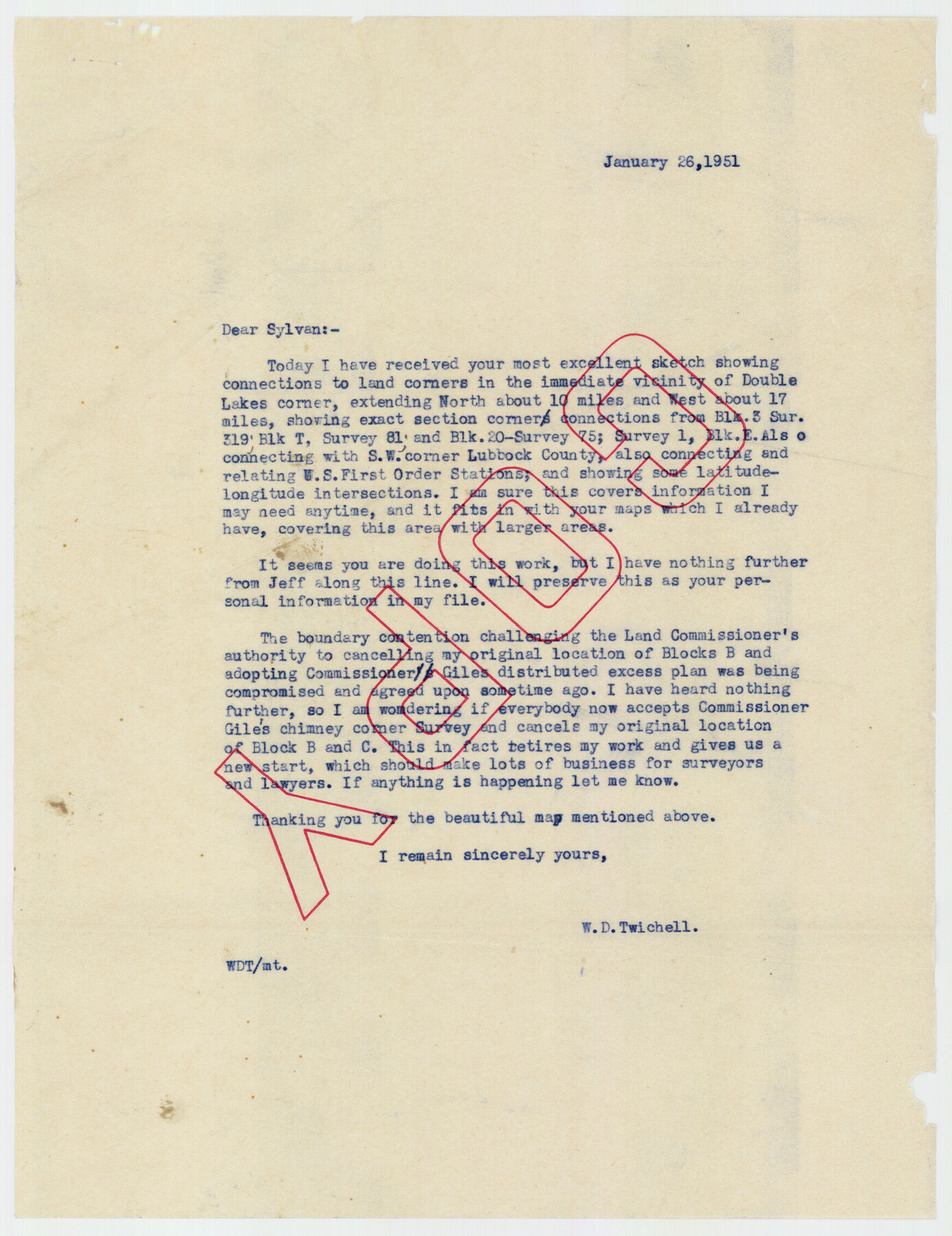
Map of Public Roads in Terry County, Texas
223-3
-
Map/Doc
91937
-
Collection
Twichell Survey Records
-
Object Dates
1/26/1951 (Creation Date)
-
People and Organizations
W.D. Twichell (Surveyor/Engineer)
-
Counties
Terry Lubbock Lynn
-
Height x Width
9.1 x 11.6 inches
23.1 x 29.5 cm
Part of: Twichell Survey Records
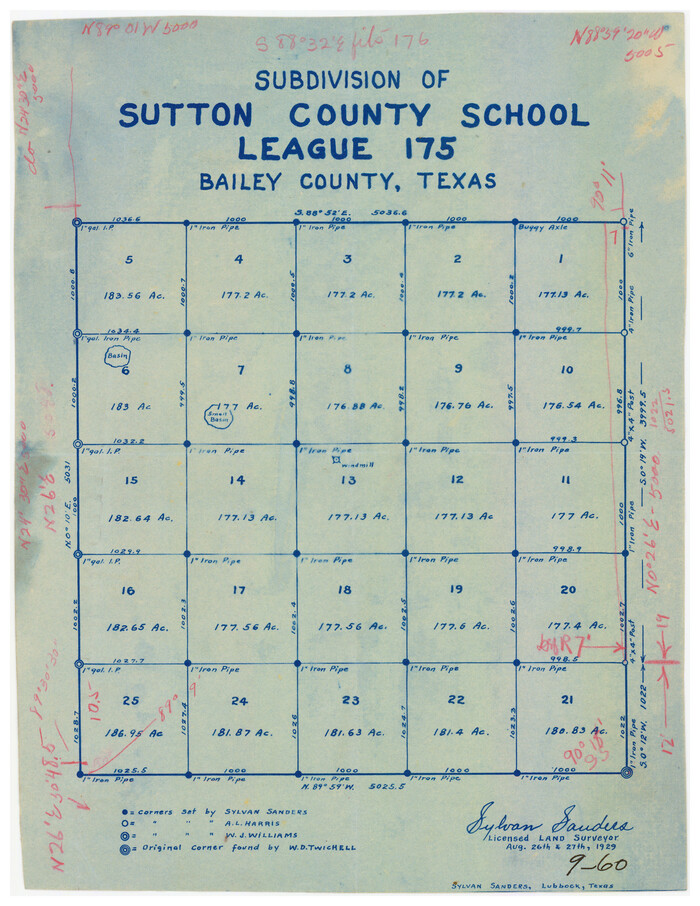
Subdivision of Sutton County School League 175, Bailey County, Texas

Print $2.00
- Digital $50.00
Subdivision of Sutton County School League 175, Bailey County, Texas
1929
Size 8.9 x 11.5 inches
Map/Doc 90201
[Southeast part of Stephens County]
![91844, [Southeast part of Stephens County], Twichell Survey Records](https://historictexasmaps.com/wmedia_w700/maps/91844-1.tif.jpg)
![91844, [Southeast part of Stephens County], Twichell Survey Records](https://historictexasmaps.com/wmedia_w700/maps/91844-1.tif.jpg)
Print $20.00
- Digital $50.00
[Southeast part of Stephens County]
Size 37.2 x 32.7 inches
Map/Doc 91844
[H. & T. C. RR. Company, Block 47, Sections 47- 52]
![91411, [H. & T. C. RR. Company, Block 47, Sections 47- 52], Twichell Survey Records](https://historictexasmaps.com/wmedia_w700/maps/91411-1.tif.jpg)
![91411, [H. & T. C. RR. Company, Block 47, Sections 47- 52], Twichell Survey Records](https://historictexasmaps.com/wmedia_w700/maps/91411-1.tif.jpg)
Print $2.00
- Digital $50.00
[H. & T. C. RR. Company, Block 47, Sections 47- 52]
Size 8.6 x 11.1 inches
Map/Doc 91411
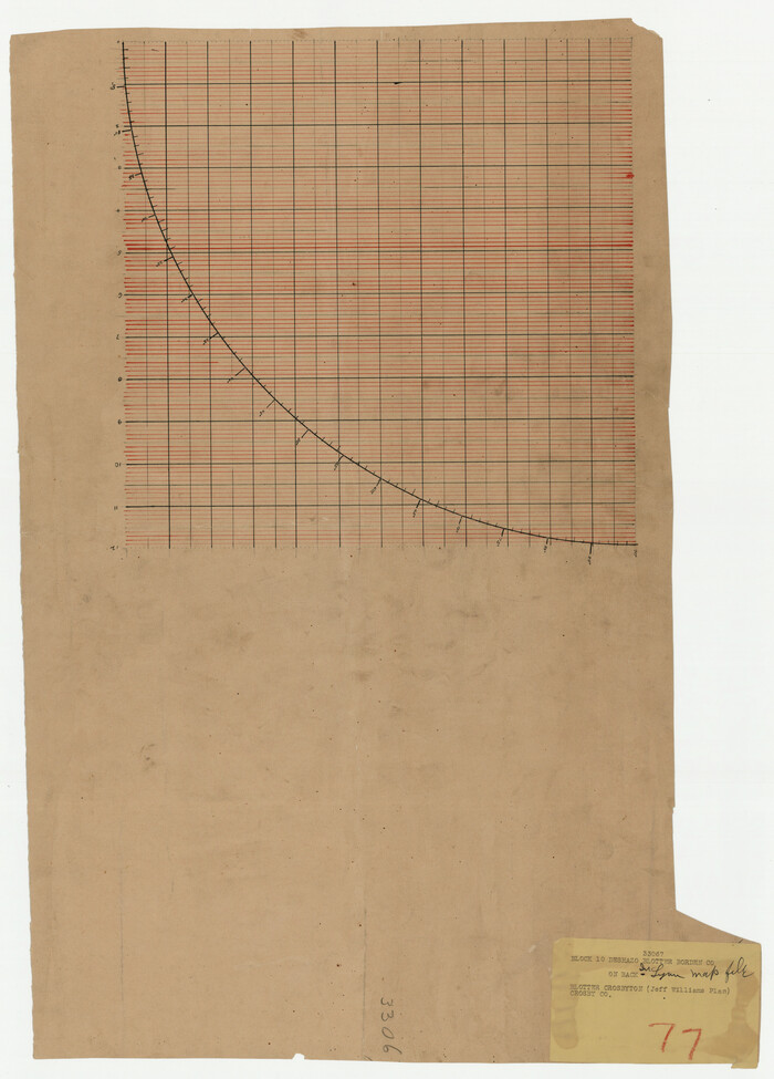
Block 10, Deshazo, Borden County

Print $20.00
- Digital $50.00
Block 10, Deshazo, Borden County
Size 18.3 x 25.5 inches
Map/Doc 92127
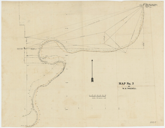
Map No. 3 by W. D. Twichell

Print $20.00
- Digital $50.00
Map No. 3 by W. D. Twichell
Size 42.5 x 32.9 inches
Map/Doc 89710
Working Sketch in Lipscomb County [showing East line of County along border with Oklahoma]
![92083, Working Sketch in Lipscomb County [showing East line of County along border with Oklahoma], Twichell Survey Records](https://historictexasmaps.com/wmedia_w700/maps/92083-1.tif.jpg)
![92083, Working Sketch in Lipscomb County [showing East line of County along border with Oklahoma], Twichell Survey Records](https://historictexasmaps.com/wmedia_w700/maps/92083-1.tif.jpg)
Print $20.00
- Digital $50.00
Working Sketch in Lipscomb County [showing East line of County along border with Oklahoma]
1910
Size 4.9 x 25.9 inches
Map/Doc 92083
[Capitol Leagues 217-228, 238, and vicinity]
![90674, [Capitol Leagues 217-228, 238, and vicinity], Twichell Survey Records](https://historictexasmaps.com/wmedia_w700/maps/90674-1.tif.jpg)
![90674, [Capitol Leagues 217-228, 238, and vicinity], Twichell Survey Records](https://historictexasmaps.com/wmedia_w700/maps/90674-1.tif.jpg)
Print $20.00
- Digital $50.00
[Capitol Leagues 217-228, 238, and vicinity]
Size 22.8 x 10.0 inches
Map/Doc 90674
[Sections 69-84 Block 47 and part of Block 3]
![91795, [Sections 69-84 Block 47 and part of Block 3], Twichell Survey Records](https://historictexasmaps.com/wmedia_w700/maps/91795-1.tif.jpg)
![91795, [Sections 69-84 Block 47 and part of Block 3], Twichell Survey Records](https://historictexasmaps.com/wmedia_w700/maps/91795-1.tif.jpg)
Print $2.00
- Digital $50.00
[Sections 69-84 Block 47 and part of Block 3]
Size 14.3 x 8.9 inches
Map/Doc 91795
Plat in Pecos County, Texas
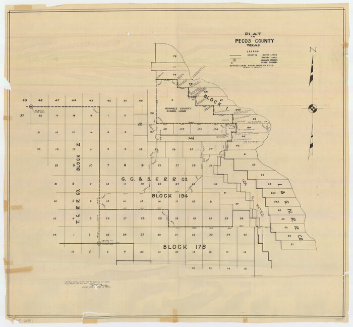

Print $20.00
- Digital $50.00
Plat in Pecos County, Texas
Size 39.1 x 36.2 inches
Map/Doc 89830
Sections 13 & 12, Block S
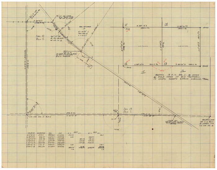

Print $20.00
- Digital $50.00
Sections 13 & 12, Block S
Size 23.0 x 18.2 inches
Map/Doc 92835
Map of Tascosa, Oldham County, Texas


Print $40.00
- Digital $50.00
Map of Tascosa, Oldham County, Texas
Size 34.8 x 66.8 inches
Map/Doc 89711
Plat Showing Positions of Blocks S, I, and X02 and Unsurveyed Area
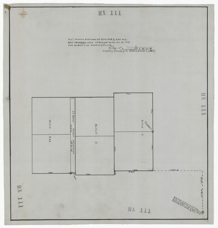

Print $20.00
- Digital $50.00
Plat Showing Positions of Blocks S, I, and X02 and Unsurveyed Area
1928
Size 12.0 x 12.6 inches
Map/Doc 92194
You may also like
Edwards County Working Sketch 44


Print $20.00
- Digital $50.00
Edwards County Working Sketch 44
1950
Size 44.1 x 26.0 inches
Map/Doc 68920
[San Antonio & Aransas Pass Railway Co.]
![64262, [San Antonio & Aransas Pass Railway Co.], General Map Collection](https://historictexasmaps.com/wmedia_w700/maps/64262-1.tif.jpg)
![64262, [San Antonio & Aransas Pass Railway Co.], General Map Collection](https://historictexasmaps.com/wmedia_w700/maps/64262-1.tif.jpg)
Print $40.00
- Digital $50.00
[San Antonio & Aransas Pass Railway Co.]
Size 15.7 x 86.4 inches
Map/Doc 64262
Liberty County
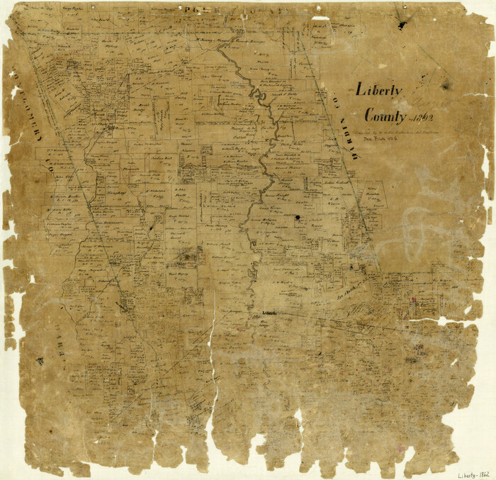

Print $20.00
- Digital $50.00
Liberty County
1862
Size 24.3 x 24.8 inches
Map/Doc 3815
San Jacinto County Working Sketch 15
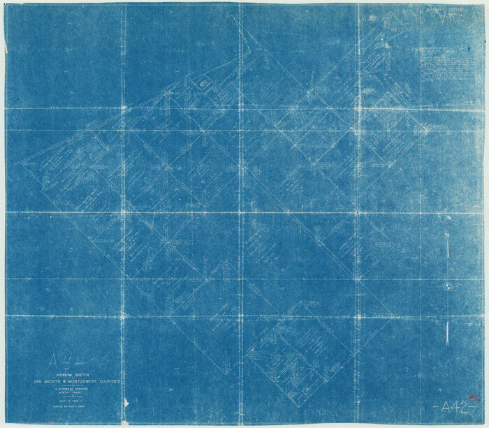

Print $20.00
- Digital $50.00
San Jacinto County Working Sketch 15
1935
Size 32.0 x 36.5 inches
Map/Doc 63728
Presidio County Rolled Sketch 105
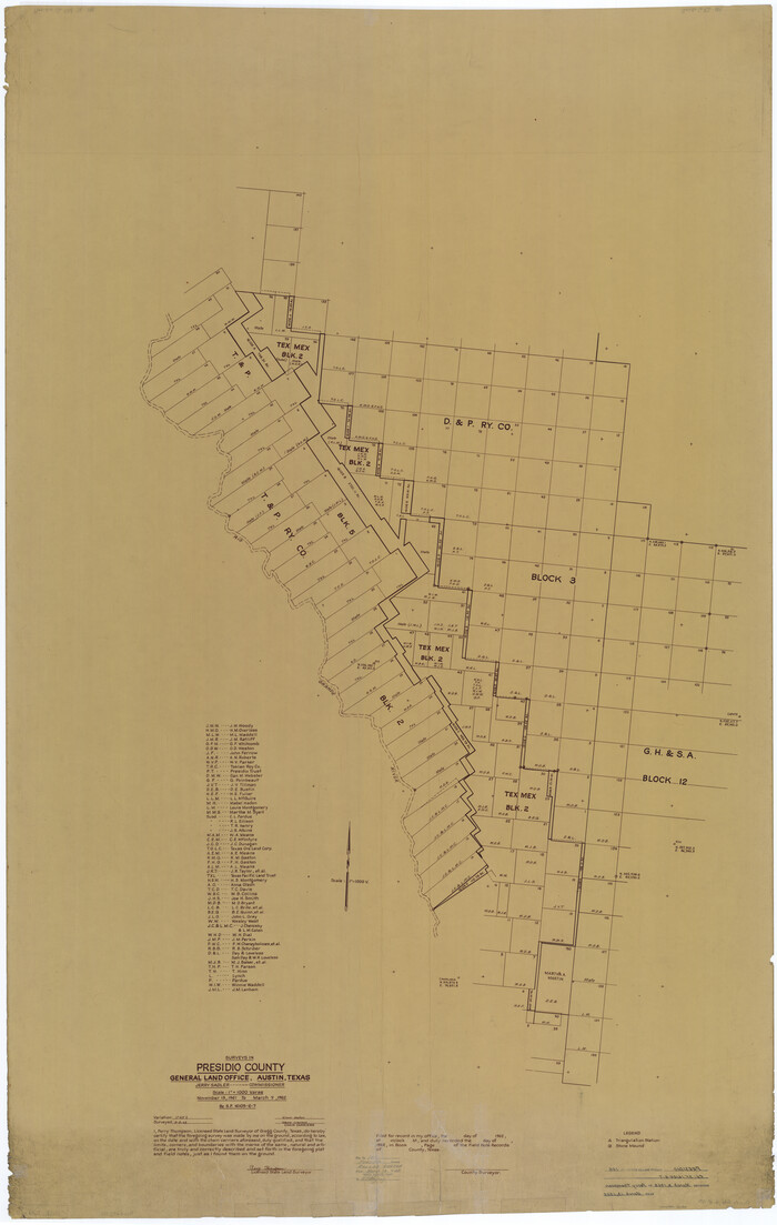

Print $40.00
- Digital $50.00
Presidio County Rolled Sketch 105
Size 67.7 x 42.9 inches
Map/Doc 76180
Stonewall County Sketch File 14


Print $20.00
- Digital $50.00
Stonewall County Sketch File 14
1901
Size 21.5 x 18.3 inches
Map/Doc 12366
Mason County Working Sketch 14


Print $20.00
- Digital $50.00
Mason County Working Sketch 14
1959
Size 28.6 x 23.3 inches
Map/Doc 70850
Flight Mission No. DIX-6P, Frame 117, Aransas County
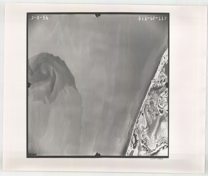

Print $20.00
- Digital $50.00
Flight Mission No. DIX-6P, Frame 117, Aransas County
1956
Size 19.2 x 22.8 inches
Map/Doc 83823
McClennan County
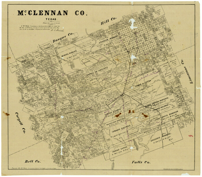

Print $20.00
- Digital $50.00
McClennan County
1880
Size 23.3 x 25.3 inches
Map/Doc 4597
Ward County Rolled Sketch 24E


Print $40.00
- Digital $50.00
Ward County Rolled Sketch 24E
1967
Size 42.3 x 64.9 inches
Map/Doc 10116
Kerr County Boundary File 4a


Print $16.00
- Digital $50.00
Kerr County Boundary File 4a
Size 6.1 x 8.2 inches
Map/Doc 64801
