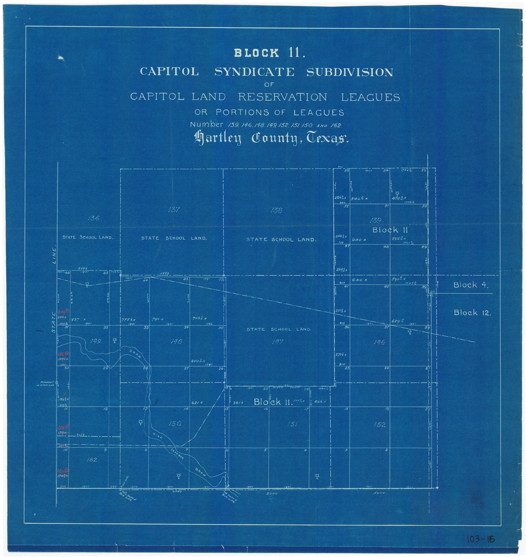
Block 11, Capitol Syndicate Subdivision of Capitol Land Reservation Leagues
103-16
-
Map/Doc
90737
-
Collection
Twichell Survey Records
-
Counties
Hartley
-
Height x Width
25.0 x 26.2 inches
63.5 x 66.6 cm
Part of: Twichell Survey Records
[Leagues 701-714 and vicinity]
![90460, [Leagues 701-714 and vicinity], Twichell Survey Records](https://historictexasmaps.com/wmedia_w700/maps/90460-1.tif.jpg)
Print $20.00
- Digital $50.00
[Leagues 701-714 and vicinity]
Size 37.7 x 22.8 inches
Map/Doc 90460
[S.E. corner of Sec. 48, Blk. 35 T5N to N.E. corner of Sec. 1, Blk. 35 T5N]
![89826, [S.E. corner of Sec. 48, Blk. 35 T5N to N.E. corner of Sec. 1, Blk. 35 T5N], Twichell Survey Records](https://historictexasmaps.com/wmedia_w700/maps/89826-1.tif.jpg)
Print $40.00
- Digital $50.00
[S.E. corner of Sec. 48, Blk. 35 T5N to N.E. corner of Sec. 1, Blk. 35 T5N]
1907
Size 7.2 x 72.9 inches
Map/Doc 89826
Double Lakes No. 1, T-Ranch

Print $20.00
- Digital $50.00
Double Lakes No. 1, T-Ranch
Size 37.1 x 34.0 inches
Map/Doc 92944
Map of the Scripture Addition to the City of Denton

Print $20.00
- Digital $50.00
Map of the Scripture Addition to the City of Denton
Size 31.5 x 27.8 inches
Map/Doc 90589
[Sketch showing Blocks 1, 3, 5, K14, 2Z, 7]
![91824, [Sketch showing Blocks 1, 3, 5, K14, 2Z, 7], Twichell Survey Records](https://historictexasmaps.com/wmedia_w700/maps/91824-1.tif.jpg)
Print $20.00
- Digital $50.00
[Sketch showing Blocks 1, 3, 5, K14, 2Z, 7]
Size 23.6 x 20.0 inches
Map/Doc 91824
General Highway Map Moore County

Print $3.00
- Digital $50.00
General Highway Map Moore County
Size 14.4 x 10.3 inches
Map/Doc 92289
[Blocks B, T, and 1]
![90972, [Blocks B, T, and 1], Twichell Survey Records](https://historictexasmaps.com/wmedia_w700/maps/90972-1.tif.jpg)
Print $2.00
- Digital $50.00
[Blocks B, T, and 1]
Size 9.2 x 13.7 inches
Map/Doc 90972
[B. S. & F. Block 1, A. B. & M. Block 2, Block 8 and Block 6]
![91811, [B. S. & F. Block 1, A. B. & M. Block 2, Block 8 and Block 6], Twichell Survey Records](https://historictexasmaps.com/wmedia_w700/maps/91811-1.tif.jpg)
Print $20.00
- Digital $50.00
[B. S. & F. Block 1, A. B. & M. Block 2, Block 8 and Block 6]
1916
Size 26.8 x 32.8 inches
Map/Doc 91811
[Block A, Section 1, Block O, Sections 1 and 3]
![91390, [Block A, Section 1, Block O, Sections 1 and 3], Twichell Survey Records](https://historictexasmaps.com/wmedia_w700/maps/91390-1.tif.jpg)
Print $2.00
- Digital $50.00
[Block A, Section 1, Block O, Sections 1 and 3]
Size 8.5 x 8.4 inches
Map/Doc 91390
[Sketch showing surveys in the north half of Potter County, Blocks 1, 6-T, 25, B-10, B-12, O-18, P and Mc, and H. & T. C., Block 44]
![91742, [Sketch showing surveys in the north half of Potter County, Blocks 1, 6-T, 25, B-10, B-12, O-18, P and Mc, and H. & T. C., Block 44], Twichell Survey Records](https://historictexasmaps.com/wmedia_w700/maps/91742-1.tif.jpg)
Print $20.00
- Digital $50.00
[Sketch showing surveys in the north half of Potter County, Blocks 1, 6-T, 25, B-10, B-12, O-18, P and Mc, and H. & T. C., Block 44]
Size 40.4 x 17.7 inches
Map/Doc 91742
Map of the Northeast Part of the Pitchfork Ranch

Print $20.00
- Digital $50.00
Map of the Northeast Part of the Pitchfork Ranch
1916
Size 23.4 x 23.4 inches
Map/Doc 90980
Sketch of Northeast Part of Lamb County, Texas

Print $20.00
- Digital $50.00
Sketch of Northeast Part of Lamb County, Texas
Size 24.7 x 20.6 inches
Map/Doc 91062
You may also like
Rusk County Rolled Sketch 8A

Print $20.00
- Digital $50.00
Rusk County Rolled Sketch 8A
Size 22.4 x 26.2 inches
Map/Doc 7545
El Paso County Working Sketch 47

Print $20.00
- Digital $50.00
El Paso County Working Sketch 47
Size 28.3 x 30.5 inches
Map/Doc 69069
Flight Mission No. BRA-16M, Frame 168, Jefferson County

Print $20.00
- Digital $50.00
Flight Mission No. BRA-16M, Frame 168, Jefferson County
1953
Size 18.7 x 22.5 inches
Map/Doc 85766
Gonzales County Working Sketch 9

Print $20.00
- Digital $50.00
Gonzales County Working Sketch 9
1981
Size 18.8 x 18.2 inches
Map/Doc 63225
Knox County Sketch File 23

Print $20.00
- Digital $50.00
Knox County Sketch File 23
1931
Size 21.4 x 15.3 inches
Map/Doc 11963
Travis County Appraisal District Plat Map 1_0100

Print $20.00
- Digital $50.00
Travis County Appraisal District Plat Map 1_0100
Size 21.6 x 26.4 inches
Map/Doc 94205
Throckmorton County Sketch File 6

Print $27.00
- Digital $50.00
Throckmorton County Sketch File 6
1888
Size 9.0 x 6.9 inches
Map/Doc 38076
Flight Mission No. CLL-1N, Frame 108, Willacy County

Print $20.00
- Digital $50.00
Flight Mission No. CLL-1N, Frame 108, Willacy County
1954
Size 18.3 x 22.0 inches
Map/Doc 87042
Brewster County Rolled Sketch 114

Print $20.00
- Digital $50.00
Brewster County Rolled Sketch 114
1964
Size 11.6 x 17.3 inches
Map/Doc 5273
Shackelford County Boundary File 7a

Print $9.00
- Digital $50.00
Shackelford County Boundary File 7a
Size 14.9 x 9.4 inches
Map/Doc 58689
Flight Mission No. DAG-23K, Frame 149, Matagorda County

Print $20.00
- Digital $50.00
Flight Mission No. DAG-23K, Frame 149, Matagorda County
1953
Size 15.9 x 15.9 inches
Map/Doc 86497
Flight Mission No. BRE-1P, Frame 141, Nueces County

Print $20.00
- Digital $50.00
Flight Mission No. BRE-1P, Frame 141, Nueces County
1956
Size 18.7 x 22.5 inches
Map/Doc 86701