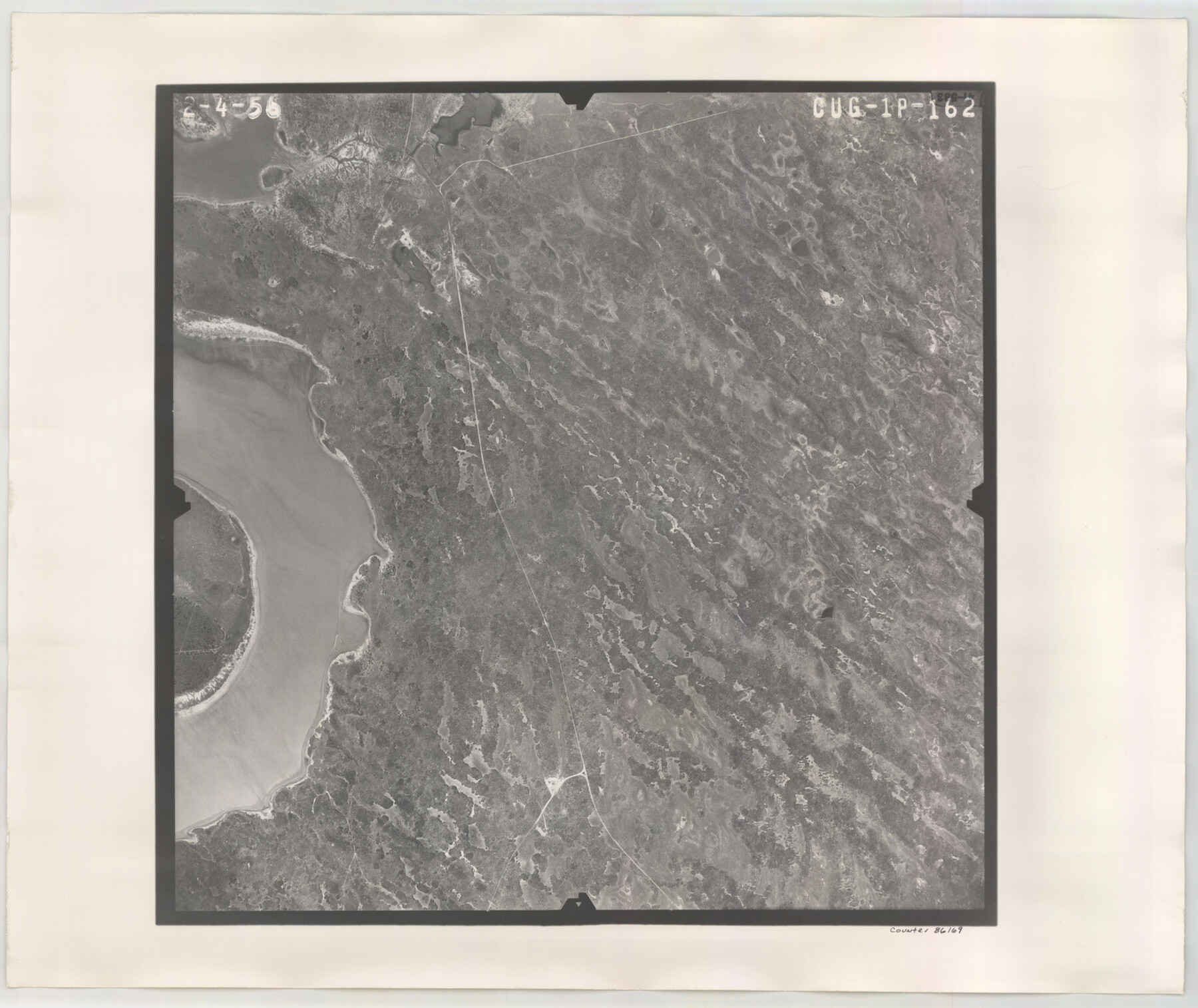
Flight Mission No. CUG-1P, Frame 162, Kleberg County
CUG-1P-162
- 
                          Map/Doc
86169
 - 
                            Collection
General Map Collection
 - 
                            Object Dates
1956/2/4 (Creation Date)
 - 
                            People and Organizations
U. S. Department of Agriculture (Publisher)
 - 
                            Counties
Kleberg
 - 
                            Subjects
Aerial Photograph
 - 
                            Height x Width
18.7 x 22.2 inches
47.5 x 56.4 cm
 - 
                            Comments
Flown by V. L. Beavers and Associates of San Antonio, Texas.
 
Part of: General Map Collection
            Right of Way and Track Map of The Wichita Falls & Southern Railroad Company


                                            Print $40.00                    
                                             -                         Digital $50.00                                    
                Right of Way and Track Map of The Wichita Falls & Southern Railroad Company
1942
Size 25.0 x 56.2 inches
                                Map/Doc 64520
            
            Flight Mission No. BRA-8M, Frame 119, Jefferson County


                                            Print $20.00                    
                                             -                         Digital $50.00                                    
                Flight Mission No. BRA-8M, Frame 119, Jefferson County
1953
Size 18.4 x 22.2 inches
                                Map/Doc 85615
            
            Gulf Intracoastal Waterway - Aransas Bay to Corpus Christi Bay, Modified Route of Main Channel Location of Spoil Disposal Areas


                                            Print $20.00                    
                                             -                         Digital $50.00                                    
                Gulf Intracoastal Waterway - Aransas Bay to Corpus Christi Bay, Modified Route of Main Channel Location of Spoil Disposal Areas
1961
Size 31.4 x 42.1 inches
                                Map/Doc 61829
            
            Duval County Boundary File 1a


                                            Print $18.00                    
                                             -                         Digital $50.00                                    
                Duval County Boundary File 1a
Size 12.8 x 8.4 inches
                                Map/Doc 52670
            
            Cottle County Working Sketch 4


                                            Print $20.00                    
                                             -                         Digital $50.00                                    
                Cottle County Working Sketch 4
1916
Size 34.3 x 31.4 inches
                                Map/Doc 68314
            
            Travis County Appraisal District Plat Map 2_0603


                                            Print $20.00                    
                                             -                         Digital $50.00                                    
                Travis County Appraisal District Plat Map 2_0603
Size 21.5 x 26.4 inches
                                Map/Doc 94233
            
            America's Fun-Tier: Texas 1967 Official State Highway Map


                                                                    Digital $50.00                                    
                America's Fun-Tier: Texas 1967 Official State Highway Map
Size 28.2 x 36.4 inches
                                Map/Doc 94321
            
            [St. Louis & Southwestern]


                                            Print $20.00                    
                                             -                         Digital $50.00                                    
                [St. Louis & Southwestern]
Size 20.9 x 29.0 inches
                                Map/Doc 64281
            
            Williamson County Boundary File 5


                                            Print $233.00                    
                                             -                         Digital $50.00                                    
                Williamson County Boundary File 5
Size 14.4 x 8.8 inches
                                Map/Doc 60023
            
            Intracoastal Waterway in Texas - Corpus Christi to Point Isabel including Arroyo Colorado to Mo. Pac. R.R. Bridge Near Harlingen


                                            Print $20.00                    
                                             -                         Digital $50.00                                    
                Intracoastal Waterway in Texas - Corpus Christi to Point Isabel including Arroyo Colorado to Mo. Pac. R.R. Bridge Near Harlingen
1933
Size 28.2 x 40.8 inches
                                Map/Doc 61852
            
            Webb County Rolled Sketch 70


                                            Print $20.00                    
                                             -                         Digital $50.00                                    
                Webb County Rolled Sketch 70
Size 24.0 x 37.4 inches
                                Map/Doc 8217
            You may also like
            Martin County Sketch File 4


                                            Print $20.00                    
                                             -                         Digital $50.00                                    
                Martin County Sketch File 4
Size 26.9 x 19.8 inches
                                Map/Doc 12027
            
            Hood County Working Sketch 12


                                            Print $40.00                    
                                             -                         Digital $50.00                                    
                Hood County Working Sketch 12
1978
Size 25.2 x 55.5 inches
                                Map/Doc 66206
            
            [Map of Nueces Bay Showing Old Leases]


                                            Print $20.00                    
                                             -                         Digital $50.00                                    
                [Map of Nueces Bay Showing Old Leases]
1936
Size 18.0 x 22.9 inches
                                Map/Doc 2924
            
            [Sketch of Berry Doolittle, C. B. Emmons. R. D. Price and other surveys]


                                            Print $20.00                    
                                             -                         Digital $50.00                                    
                [Sketch of Berry Doolittle, C. B. Emmons. R. D. Price and other surveys]
Size 25.8 x 19.7 inches
                                Map/Doc 90213
            
            McLennan County Boundary File 1


                                            Print $80.00                    
                                             -                         Digital $50.00                                    
                McLennan County Boundary File 1
Size 19.4 x 12.3 inches
                                Map/Doc 56937
            
            Freestone County State Real Property Sketch 1


                                            Print $20.00                    
                                             -                         Digital $50.00                                    
                Freestone County State Real Property Sketch 1
1997
Size 24.3 x 35.2 inches
                                Map/Doc 80128
            
            [Part of Blocks H. & G. N. 12, University Lands 16 and 17, C-3, C-4, A-2, 194 and Z]


                                            Print $20.00                    
                                             -                         Digital $50.00                                    
                [Part of Blocks H. & G. N. 12, University Lands 16 and 17, C-3, C-4, A-2, 194 and Z]
1907
Size 26.1 x 18.9 inches
                                Map/Doc 91621
            
            Hartley County Boundary File 4a


                                            Print $38.00                    
                                             -                         Digital $50.00                                    
                Hartley County Boundary File 4a
Size 14.2 x 9.0 inches
                                Map/Doc 54505
            
            Cottle County Sketch File 15


                                            Print $4.00                    
                                             -                         Digital $50.00                                    
                Cottle County Sketch File 15
1891
Size 11.2 x 9.0 inches
                                Map/Doc 19516
            
            Glasscock County Sketch File 14


                                            Print $8.00                    
                                             -                         Digital $50.00                                    
                Glasscock County Sketch File 14
1935
Size 11.3 x 8.6 inches
                                Map/Doc 24178
            
            Clason's Oil Map of Texas and Oklahoma showing the location and approximate area of the oil and gas fields


                                            Print $20.00                    
                                             -                         Digital $50.00                                    
                Clason's Oil Map of Texas and Oklahoma showing the location and approximate area of the oil and gas fields
1919
Size 22.4 x 24.5 inches
                                Map/Doc 97158
            
            Uvalde County Sketch File 29


                                            Print $8.00                    
                                             -                         Digital $50.00                                    
                Uvalde County Sketch File 29
1873
Size 13.0 x 8.3 inches
                                Map/Doc 39028