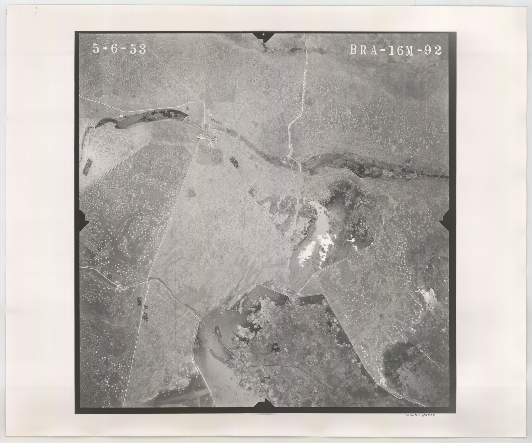
Flight Mission No. BRA-16M, Frame 92, Jefferson County
BRA-16M-92
-
Map/Doc
85704
-
Collection
General Map Collection
-
Object Dates
1953/5/6 (Creation Date)
-
People and Organizations
U. S. Department of Agriculture (Publisher)
-
Counties
Jefferson
-
Subjects
Aerial Photograph
-
Height x Width
18.6 x 22.3 inches
47.2 x 56.6 cm
-
Comments
Flown by Jack Ammann Photogrammetric Engineers of San Antonio, Texas.
Part of: General Map Collection
Karnes County Working Sketch 3

Print $20.00
- Digital $50.00
Karnes County Working Sketch 3
1943
Size 34.6 x 31.4 inches
Map/Doc 66651
Motley County Sketch File 13 (N)

Print $10.00
- Digital $50.00
Motley County Sketch File 13 (N)
1911
Size 11.1 x 8.6 inches
Map/Doc 32043
Roberts County Working Sketch Graphic Index

Print $20.00
- Digital $50.00
Roberts County Working Sketch Graphic Index
1932
Size 41.2 x 37.3 inches
Map/Doc 76684
Flight Mission No. BRE-1P, Frame 125, Nueces County

Print $20.00
- Digital $50.00
Flight Mission No. BRE-1P, Frame 125, Nueces County
1956
Size 18.6 x 22.7 inches
Map/Doc 86691
Nueces County NRC Article 33.136 Sketch 1

Print $274.00
- Digital $50.00
Nueces County NRC Article 33.136 Sketch 1
2002
Size 24.5 x 36.3 inches
Map/Doc 87920
Pecos County Sketch File 91

Print $20.00
- Digital $50.00
Pecos County Sketch File 91
1951
Size 20.9 x 14.0 inches
Map/Doc 12184
Trinity River, Levee Improvement Districts Widths of Floodways/Chambers Creek

Print $4.00
- Digital $50.00
Trinity River, Levee Improvement Districts Widths of Floodways/Chambers Creek
1921
Size 18.6 x 28.3 inches
Map/Doc 65247
Current Miscellaneous File 44

Print $10.00
- Digital $50.00
Current Miscellaneous File 44
1954
Size 11.3 x 8.8 inches
Map/Doc 73985
Roberts County Boundary File 2b

Print $38.00
- Digital $50.00
Roberts County Boundary File 2b
Size 9.0 x 7.0 inches
Map/Doc 58344
Henderson County Sketch File 20

Print $20.00
- Digital $50.00
Henderson County Sketch File 20
Size 23.7 x 23.5 inches
Map/Doc 11757
Shackelford County Sketch File 14

Print $28.00
- Digital $50.00
Shackelford County Sketch File 14
1874
Size 14.4 x 8.8 inches
Map/Doc 36585
Runnels County

Print $20.00
- Digital $50.00
Runnels County
1879
Size 22.1 x 19.2 inches
Map/Doc 3999
You may also like
[Map of Encinal County]
![3517, [Map of Encinal County], General Map Collection](https://historictexasmaps.com/wmedia_w700/maps/3517-1.tif.jpg)
Print $20.00
- Digital $50.00
[Map of Encinal County]
1872
Size 27.9 x 21.9 inches
Map/Doc 3517
Wharton County Sketch File A3

Print $26.00
- Digital $50.00
Wharton County Sketch File A3
1899
Size 18.2 x 18.6 inches
Map/Doc 12671
Throckmorton Co.

Print $20.00
- Digital $50.00
Throckmorton Co.
1898
Size 41.7 x 36.7 inches
Map/Doc 63064
Map of Callahan County, Texas

Print $20.00
- Digital $50.00
Map of Callahan County, Texas
1879
Size 24.6 x 19.6 inches
Map/Doc 4337
Dimmit County Working Sketch 3

Print $20.00
- Digital $50.00
Dimmit County Working Sketch 3
1911
Size 16.5 x 22.5 inches
Map/Doc 68664
Map of Tyler County

Print $20.00
- Digital $50.00
Map of Tyler County
1897
Size 42.0 x 37.5 inches
Map/Doc 16907
Pecos County Working Sketch 52

Print $20.00
- Digital $50.00
Pecos County Working Sketch 52
1948
Size 46.8 x 32.5 inches
Map/Doc 71524
Flight Mission No. CLL-1N, Frame 88, Willacy County

Print $20.00
- Digital $50.00
Flight Mission No. CLL-1N, Frame 88, Willacy County
1954
Size 18.4 x 22.1 inches
Map/Doc 87034
Maps of Gulf Intracoastal Waterway, Texas - Sabine River to the Rio Grande and connecting waterways including ship channels

Print $20.00
- Digital $50.00
Maps of Gulf Intracoastal Waterway, Texas - Sabine River to the Rio Grande and connecting waterways including ship channels
1966
Size 14.6 x 22.2 inches
Map/Doc 61980
Uvalde County Working Sketch 52

Print $20.00
- Digital $50.00
Uvalde County Working Sketch 52
1982
Size 45.2 x 35.8 inches
Map/Doc 72122

Texas Official Travel Map

Digital $50.00
Texas Official Travel Map
Size 33.4 x 36.1 inches
Map/Doc 94304