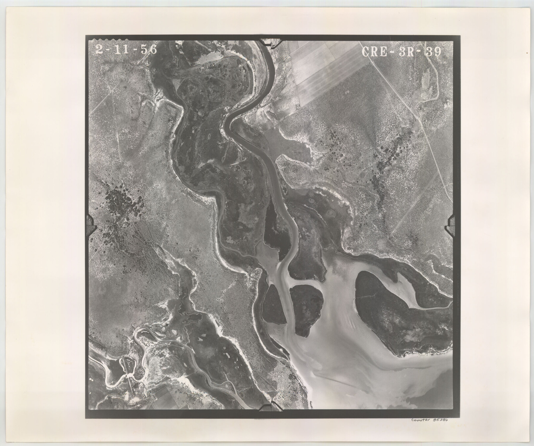
Flight Mission No. CRE-3R, Frame 39, Jackson County
CRE-3R-39
-
Map/Doc
85386
-
Collection
General Map Collection
-
Object Dates
1956/2/11 (Creation Date)
-
People and Organizations
U. S. Department of Agriculture (Publisher)
-
Counties
Jackson
-
Subjects
Aerial Photograph
-
Height x Width
18.6 x 22.2 inches
47.2 x 56.4 cm
-
Comments
Flown by Jack Ammann Photogrammetric Engineers of San Antonio, Texas.
Part of: General Map Collection
Flight Mission No. CUG-1P, Frame 164, Kleberg County

Print $20.00
- Digital $50.00
Flight Mission No. CUG-1P, Frame 164, Kleberg County
1956
Size 18.5 x 22.2 inches
Map/Doc 86171
Midland County

Print $20.00
- Digital $50.00
Midland County
1901
Size 43.7 x 40.3 inches
Map/Doc 66929
Cass County Working Sketch 18

Print $20.00
- Digital $50.00
Cass County Working Sketch 18
1958
Size 24.2 x 44.3 inches
Map/Doc 67921
Hays County Sketch File 2

Print $4.00
- Digital $50.00
Hays County Sketch File 2
1846
Size 6.3 x 8.1 inches
Map/Doc 26200
Hutchinson County Sketch File 25

Print $6.00
- Digital $50.00
Hutchinson County Sketch File 25
1922
Size 11.2 x 8.8 inches
Map/Doc 27258
Brewster County Rolled Sketch 82

Print $20.00
- Digital $50.00
Brewster County Rolled Sketch 82
1945
Size 20.3 x 23.3 inches
Map/Doc 5245
Montgomery County Working Sketch 24

Print $40.00
- Digital $50.00
Montgomery County Working Sketch 24
1941
Size 35.8 x 52.5 inches
Map/Doc 71131
[Abstract Numbering Register - Donley through Karnes]
![82966, [Abstract Numbering Register - Donley through Karnes], General Map Collection](https://historictexasmaps.com/wmedia_w700/pdf_converted_jpg/qi_pdf_thumbnail_30613.jpg)
[Abstract Numbering Register - Donley through Karnes]
Map/Doc 82966
Presidio County Rolled Sketch 126

Print $20.00
- Digital $50.00
Presidio County Rolled Sketch 126
1986
Size 27.8 x 39.4 inches
Map/Doc 7397
Chambers County NRC Article 33.136 Sketch 10

Print $44.00
- Digital $50.00
Chambers County NRC Article 33.136 Sketch 10
2014
Size 24.0 x 36.0 inches
Map/Doc 94498
Cooke County Boundary File 2

Print $19.00
- Digital $50.00
Cooke County Boundary File 2
Size 12.1 x 7.6 inches
Map/Doc 51840
Fort Bend County Working Sketch 24

Print $20.00
- Digital $50.00
Fort Bend County Working Sketch 24
1981
Size 27.1 x 30.5 inches
Map/Doc 69230
You may also like
Hartley County Working Sketch 4

Print $20.00
- Digital $50.00
Hartley County Working Sketch 4
1934
Size 23.9 x 30.6 inches
Map/Doc 66054
Flight Mission No. DCL-7C, Frame 78, Kenedy County

Print $20.00
- Digital $50.00
Flight Mission No. DCL-7C, Frame 78, Kenedy County
1943
Size 15.3 x 15.2 inches
Map/Doc 86064
United States - Gulf Coast - Galveston to Rio Grande

Print $20.00
- Digital $50.00
United States - Gulf Coast - Galveston to Rio Grande
1949
Size 26.6 x 18.2 inches
Map/Doc 72756
[Blocks 47, Z, XO2, M18, M23, M25, and H]
![91186, [Blocks 47, Z, XO2, M18, M23, M25, and H], Twichell Survey Records](https://historictexasmaps.com/wmedia_w700/maps/91186-1.tif.jpg)
Print $20.00
- Digital $50.00
[Blocks 47, Z, XO2, M18, M23, M25, and H]
Size 30.1 x 23.5 inches
Map/Doc 91186
Flight Mission No. DCL-7C, Frame 120, Kenedy County

Print $20.00
- Digital $50.00
Flight Mission No. DCL-7C, Frame 120, Kenedy County
1943
Size 18.5 x 22.4 inches
Map/Doc 86085
Flight Mission No. DQO-8K, Frame 42, Galveston County

Print $20.00
- Digital $50.00
Flight Mission No. DQO-8K, Frame 42, Galveston County
1952
Size 18.5 x 22.3 inches
Map/Doc 85149
Galveston County Rolled Sketch 34

Print $20.00
- Digital $50.00
Galveston County Rolled Sketch 34
1979
Size 28.0 x 39.7 inches
Map/Doc 5966
[Blocks 53, 54, 55, 56, 57, and 76]
![91314, [Blocks 53, 54, 55, 56, 57, and 76], Twichell Survey Records](https://historictexasmaps.com/wmedia_w700/maps/91314-2.tif.jpg)
Print $20.00
- Digital $50.00
[Blocks 53, 54, 55, 56, 57, and 76]
Size 36.4 x 21.4 inches
Map/Doc 91314
Map of Mexico, including Yucatan & Upper California exhibiting the chief cities and towns, the principal travelling routes &c.

Print $20.00
- Digital $50.00
Map of Mexico, including Yucatan & Upper California exhibiting the chief cities and towns, the principal travelling routes &c.
1847
Size 21.9 x 29.6 inches
Map/Doc 94017
Map of Tyler County

Print $20.00
- Digital $50.00
Map of Tyler County
1897
Size 42.0 x 37.5 inches
Map/Doc 16907
Flight Mission No. DIX-10P, Frame 146, Aransas County

Print $20.00
- Digital $50.00
Flight Mission No. DIX-10P, Frame 146, Aransas County
1956
Size 18.6 x 22.4 inches
Map/Doc 83948
Stonewall County

Print $20.00
- Digital $50.00
Stonewall County
1933
Size 40.3 x 34.5 inches
Map/Doc 77428