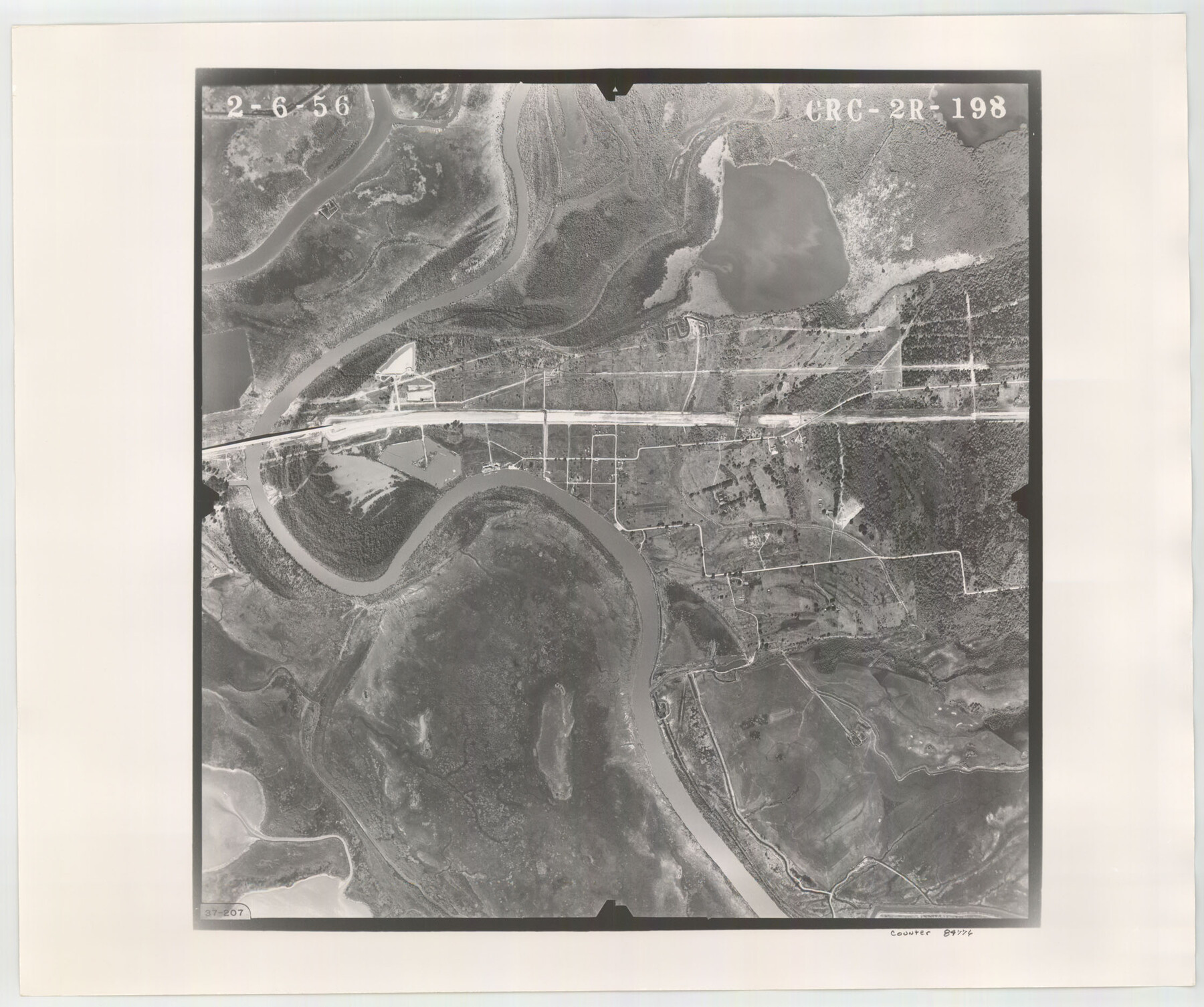
Flight Mission No. CRC-2R, Frame 198, Chambers County
CRC-2R-198
-
Map/Doc
84776
-
Collection
General Map Collection
-
Object Dates
1956/2/6 (Creation Date)
-
People and Organizations
U. S. Department of Agriculture (Publisher)
-
Counties
Chambers
-
Subjects
Aerial Photograph
-
Height x Width
18.7 x 22.4 inches
47.5 x 56.9 cm
-
Comments
Flown by Jack Ammann Photogrammetric Engineers, Inc. of San Antonio, Texas.
Part of: General Map Collection
Map of Bee County State of Texas

Print $20.00
- Digital $50.00
Map of Bee County State of Texas
1863
Size 31.1 x 25.3 inches
Map/Doc 3286
Uvalde County Working Sketch 17

Print $20.00
- Digital $50.00
Uvalde County Working Sketch 17
1947
Size 27.5 x 37.3 inches
Map/Doc 72087

La Salle County Sketch File 43

Print $20.00
- Digital $50.00
La Salle County Sketch File 43
1937
Size 18.7 x 28.4 inches
Map/Doc 11988
Flight Mission No. BRE-1P, Frame 153, Nueces County

Print $20.00
- Digital $50.00
Flight Mission No. BRE-1P, Frame 153, Nueces County
1956
Size 18.5 x 22.5 inches
Map/Doc 86714
McMullen County Working Sketch 15

Print $20.00
- Digital $50.00
McMullen County Working Sketch 15
1939
Size 18.4 x 27.5 inches
Map/Doc 70716
Bee County Boundary File 3

Print $20.00
- Digital $50.00
Bee County Boundary File 3
Size 22.3 x 16.2 inches
Map/Doc 50440
Cherokee County Working Sketch 19

Print $40.00
- Digital $50.00
Cherokee County Working Sketch 19
1967
Size 64.1 x 49.2 inches
Map/Doc 67974
Sutton County Sketch File 59

Print $20.00
- Digital $50.00
Sutton County Sketch File 59
Size 24.6 x 16.5 inches
Map/Doc 12394
Sterling County Rolled Sketch 28

Print $20.00
- Digital $50.00
Sterling County Rolled Sketch 28
Size 28.8 x 33.4 inches
Map/Doc 7853
Hudspeth County Rolled Sketch 57

Print $20.00
- Digital $50.00
Hudspeth County Rolled Sketch 57
Size 38.3 x 46.0 inches
Map/Doc 9223
Nolan County Sketch File 13

Print $20.00
- Digital $50.00
Nolan County Sketch File 13
1886
Size 17.8 x 29.9 inches
Map/Doc 42207
You may also like
Hudspeth County Rolled Sketch 75

Print $40.00
- Digital $50.00
Hudspeth County Rolled Sketch 75
1992
Size 35.6 x 48.9 inches
Map/Doc 9238
Pecos County Working Sketch 77

Print $20.00
- Digital $50.00
Pecos County Working Sketch 77
1959
Size 32.0 x 36.4 inches
Map/Doc 71549
No. 3 Chart of Channel connecting Corpus Christi Bay with Aransas Bay, Texas

Print $20.00
- Digital $50.00
No. 3 Chart of Channel connecting Corpus Christi Bay with Aransas Bay, Texas
1878
Size 18.1 x 27.8 inches
Map/Doc 72780
Crane County Sketch File 3

Print $20.00
- Digital $50.00
Crane County Sketch File 3
Size 23.6 x 26.0 inches
Map/Doc 11204
Crockett County Sketch File 83

Print $12.00
- Digital $50.00
Crockett County Sketch File 83
1941
Size 14.2 x 8.5 inches
Map/Doc 19899
Motley County Working Sketch 7

Print $20.00
- Digital $50.00
Motley County Working Sketch 7
1983
Size 33.8 x 42.8 inches
Map/Doc 71212
[East Line & Red River Railroad from Sulphur Springs to Jefferson]
![64769, [East Line & Red River Railroad from Sulphur Springs to Jefferson], General Map Collection](https://historictexasmaps.com/wmedia_w700/maps/64769.tif.jpg)
Print $20.00
- Digital $50.00
[East Line & Red River Railroad from Sulphur Springs to Jefferson]
1879
Size 37.8 x 33.6 inches
Map/Doc 64769
[East and South lines of County]
![93137, [East and South lines of County], Twichell Survey Records](https://historictexasmaps.com/wmedia_w700/maps/93137-1.tif.jpg)
Print $40.00
- Digital $50.00
[East and South lines of County]
Size 75.7 x 9.0 inches
Map/Doc 93137
Reagan County Working Sketch 16

Print $20.00
- Digital $50.00
Reagan County Working Sketch 16
1950
Size 24.5 x 42.5 inches
Map/Doc 71858
Hardin County Sketch File 21

Print $4.00
- Digital $50.00
Hardin County Sketch File 21
Size 11.2 x 8.8 inches
Map/Doc 25140

Jackson County Rolled Sketch 2

Print $20.00
- Digital $50.00
Jackson County Rolled Sketch 2
Size 14.1 x 17.9 inches
Map/Doc 6335