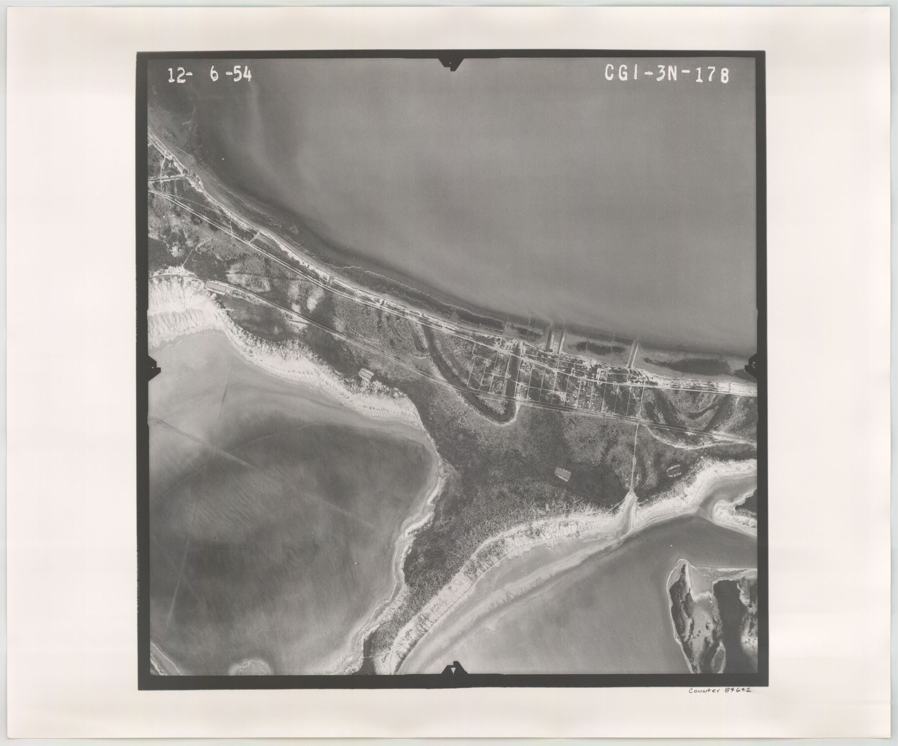
Flight Mission No. CGI-3N, Frame 178, Cameron County
CGI-3N-178
-
Map/Doc
84642
-
Collection
General Map Collection
-
Object Dates
1954/12/6 (Creation Date)
-
People and Organizations
U. S. Department of Agriculture (Publisher)
-
Counties
Cameron
-
Subjects
Aerial Photograph
-
Height x Width
18.5 x 22.2 inches
47.0 x 56.4 cm
-
Comments
Flown by Puckett Aerial Surveys, Inc. of Jackson, Mississippi.
Part of: General Map Collection
Aransas County Sketch File 12

Print $8.00
- Digital $50.00
Aransas County Sketch File 12
Size 14.0 x 8.7 inches
Map/Doc 13118
Stephens County Working Sketch 16

Print $20.00
- Digital $50.00
Stephens County Working Sketch 16
1968
Size 21.4 x 30.4 inches
Map/Doc 63959
Railroad and County Map of Texas

Print $20.00
- Digital $50.00
Railroad and County Map of Texas
1926
Size 42.9 x 45.2 inches
Map/Doc 65799
Bee County Sketch File 4

Print $6.00
- Digital $50.00
Bee County Sketch File 4
1858
Size 16.7 x 10.0 inches
Map/Doc 14268
Jefferson County Rolled Sketch 48A

Print $20.00
- Digital $50.00
Jefferson County Rolled Sketch 48A
1964
Size 28.4 x 28.1 inches
Map/Doc 6404
Rio Grande Rectification Project, El Paso and Juarez Valley

Print $2.00
- Digital $50.00
Rio Grande Rectification Project, El Paso and Juarez Valley
1935
Size 10.8 x 8.2 inches
Map/Doc 60873
Wichita County Sketch File E

Print $40.00
- Digital $50.00
Wichita County Sketch File E
Size 14.2 x 15.6 inches
Map/Doc 40072
Zapata County Rolled Sketch 22

Print $20.00
- Digital $50.00
Zapata County Rolled Sketch 22
1958
Size 29.2 x 21.5 inches
Map/Doc 8317
Upton County Working Sketch 44

Print $20.00
- Digital $50.00
Upton County Working Sketch 44
1962
Size 19.2 x 25.5 inches
Map/Doc 69540
Brooks County Working Sketch 12

Print $20.00
- Digital $50.00
Brooks County Working Sketch 12
1943
Size 27.0 x 26.5 inches
Map/Doc 67796
Flight Mission No. BRA-7M, Frame 136, Jefferson County

Print $20.00
- Digital $50.00
Flight Mission No. BRA-7M, Frame 136, Jefferson County
1953
Size 18.7 x 22.5 inches
Map/Doc 85530
Nueces County Sketch File 56

Print $113.00
- Digital $50.00
Nueces County Sketch File 56
1973
Size 10.1 x 9.3 inches
Map/Doc 32874
You may also like
El Paso County Working Sketch 30

Print $40.00
- Digital $50.00
El Paso County Working Sketch 30
1967
Size 32.0 x 65.8 inches
Map/Doc 69052
Flight Mission No. DQN-2K, Frame 136, Calhoun County

Print $20.00
- Digital $50.00
Flight Mission No. DQN-2K, Frame 136, Calhoun County
1953
Size 18.5 x 15.8 inches
Map/Doc 84305
West Houston: Hwy. 6 from Spencer Rd. in the North to South of Sugar Land. From Wilcrest Dr. in the East to and including Katy.

West Houston: Hwy. 6 from Spencer Rd. in the North to South of Sugar Land. From Wilcrest Dr. in the East to and including Katy.
Size 35.4 x 22.7 inches
Map/Doc 94336
Erath County Working Sketch Graphic Index

Print $20.00
- Digital $50.00
Erath County Working Sketch Graphic Index
1939
Size 46.1 x 42.4 inches
Map/Doc 76538
McLennan County Sketch File 31

Print $22.00
- Digital $50.00
McLennan County Sketch File 31
Size 14.2 x 17.2 inches
Map/Doc 31306
General Highway Map, Pecos County, Texas

Print $20.00
General Highway Map, Pecos County, Texas
1961
Size 24.5 x 18.1 inches
Map/Doc 79627
The Republic County of Harris. January 25, 1840

Print $20.00
The Republic County of Harris. January 25, 1840
2020
Size 17.7 x 21.7 inches
Map/Doc 96165
Palo Pinto County Rolled Sketch 9

Print $40.00
- Digital $50.00
Palo Pinto County Rolled Sketch 9
Size 78.0 x 30.9 inches
Map/Doc 9675
Andrews County Working Sketch 25

Print $40.00
- Digital $50.00
Andrews County Working Sketch 25
1980
Size 70.6 x 44.0 inches
Map/Doc 67071
Dimmit County Rolled Sketch 6

Print $20.00
- Digital $50.00
Dimmit County Rolled Sketch 6
Size 31.1 x 27.4 inches
Map/Doc 5716
Map of Van Zandt County Texas

Print $20.00
- Digital $50.00
Map of Van Zandt County Texas
1880
Size 19.0 x 19.6 inches
Map/Doc 4113
Foard County Working Sketch 5b

Print $20.00
- Digital $50.00
Foard County Working Sketch 5b
Size 18.4 x 24.2 inches
Map/Doc 69196