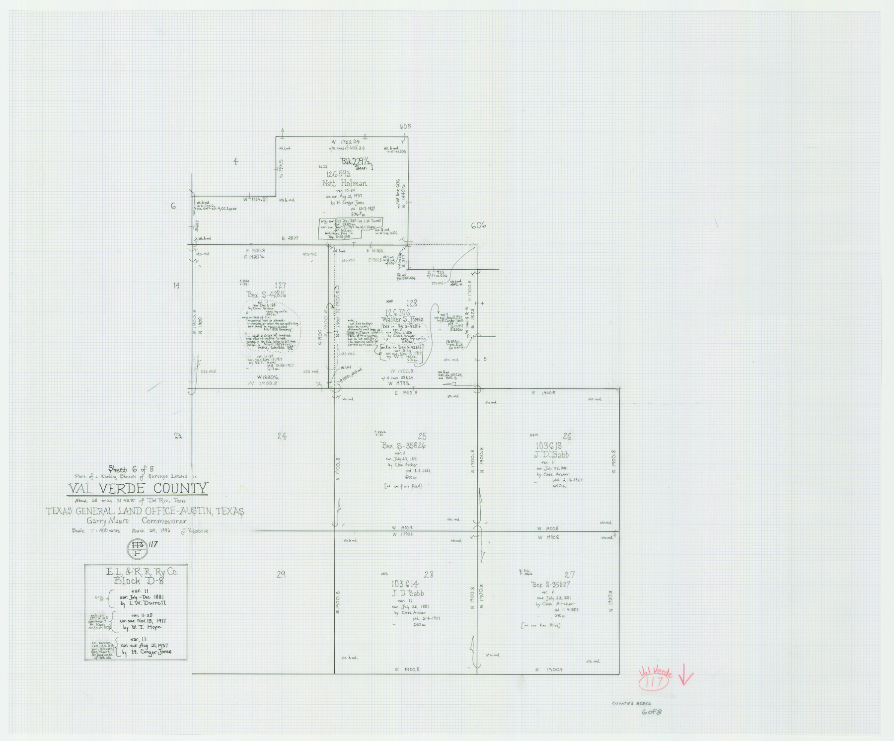
Val Verde County Working Sketch 117
-
Map/Doc
82846
-
Collection
General Map Collection
-
Object Dates
3/29/1993 (Creation Date)
-
People and Organizations
Joan Kilpatrick (Draftsman)
-
Counties
Val Verde
-
Subjects
Surveying Working Sketch
-
Height x Width
24.7 x 29.8 inches
62.7 x 75.7 cm
-
Scale
1" = 400 varas
-
Comments
Sheet 6 of 8. For other sheets see maps 82841-82845, 82847, and 82848.
Related maps
Val Verde County Working Sketch 117

Print $20.00
- Digital $50.00
Val Verde County Working Sketch 117
1993
Size 20.9 x 38.2 inches
Map/Doc 82841
Val Verde County Working Sketch 117

Print $20.00
- Digital $50.00
Val Verde County Working Sketch 117
1993
Size 33.8 x 37.0 inches
Map/Doc 82842
Val Verde County Working Sketch 117

Print $20.00
- Digital $50.00
Val Verde County Working Sketch 117
1993
Size 34.8 x 37.0 inches
Map/Doc 82843
Val Verde County Working Sketch 117

Print $20.00
- Digital $50.00
Val Verde County Working Sketch 117
1993
Size 30.9 x 37.0 inches
Map/Doc 82844
Val Verde County Working Sketch 117

Print $20.00
- Digital $50.00
Val Verde County Working Sketch 117
1993
Size 20.8 x 36.8 inches
Map/Doc 82845
Val Verde County Working Sketch 117

Print $20.00
- Digital $50.00
Val Verde County Working Sketch 117
1993
Size 13.5 x 36.7 inches
Map/Doc 82847
Val Verde County Working Sketch 117

Print $20.00
- Digital $50.00
Val Verde County Working Sketch 117
1993
Size 17.5 x 24.4 inches
Map/Doc 82848
Part of: General Map Collection
Concho County Working Sketch 24

Print $20.00
- Digital $50.00
Concho County Working Sketch 24
1981
Size 35.0 x 44.2 inches
Map/Doc 68206
Gregg County Boundary File 4

Print $14.00
- Digital $50.00
Gregg County Boundary File 4
Size 14.1 x 8.6 inches
Map/Doc 53992
Colorado River, Shoal Creek from 12th to 34th Street/Austin, Texas

Print $40.00
- Digital $50.00
Colorado River, Shoal Creek from 12th to 34th Street/Austin, Texas
1929
Size 61.5 x 28.6 inches
Map/Doc 65327
El Paso County Sketch File 25

Print $20.00
- Digital $50.00
El Paso County Sketch File 25
Size 18.5 x 22.3 inches
Map/Doc 11456
Cottle County Rolled Sketch 13

Print $20.00
- Digital $50.00
Cottle County Rolled Sketch 13
1976
Size 21.6 x 35.5 inches
Map/Doc 5571

Foard County Rolled Sketch 12

Print $20.00
- Digital $50.00
Foard County Rolled Sketch 12
1945
Size 26.8 x 19.7 inches
Map/Doc 5886
Briscoe County Sketch File K

Print $40.00
- Digital $50.00
Briscoe County Sketch File K
1920
Size 31.9 x 21.0 inches
Map/Doc 11008

Flight Mission No. BRA-16M, Frame 75, Jefferson County

Print $20.00
- Digital $50.00
Flight Mission No. BRA-16M, Frame 75, Jefferson County
1953
Size 18.6 x 22.3 inches
Map/Doc 85692
Bee County Working Sketch 21

Print $20.00
- Digital $50.00
Bee County Working Sketch 21
1983
Size 32.5 x 37.5 inches
Map/Doc 67271
Potter County Rolled Sketch 3

Print $20.00
- Digital $50.00
Potter County Rolled Sketch 3
1892
Map/Doc 9758
You may also like

Hemphill County

Print $20.00
- Digital $50.00
Hemphill County
1878
Size 19.1 x 16.9 inches
Map/Doc 3661
Montgomery County Rolled Sketch 37

Print $40.00
- Digital $50.00
Montgomery County Rolled Sketch 37
Size 44.3 x 52.7 inches
Map/Doc 9544
[Map of the Houston and G. N. R.R. and lands adjacent, from Troupe to the Texas Pacific R.R.]
![64628, [Map of the Houston and G. N. R.R. and lands adjacent, from Troupe to the Texas Pacific R.R.], General Map Collection](https://historictexasmaps.com/wmedia_w700/maps/64628.tif.jpg)
Print $40.00
- Digital $50.00
[Map of the Houston and G. N. R.R. and lands adjacent, from Troupe to the Texas Pacific R.R.]
1873
Size 20.2 x 49.3 inches
Map/Doc 64628
Panola County Working Sketch 32

Print $20.00
- Digital $50.00
Panola County Working Sketch 32
1982
Map/Doc 71441
Flight Mission No. DAG-24K, Frame 36, Matagorda County

Print $20.00
- Digital $50.00
Flight Mission No. DAG-24K, Frame 36, Matagorda County
1953
Size 18.5 x 22.2 inches
Map/Doc 86523
Hudspeth County Sketch File 25

Print $10.00
- Digital $50.00
Hudspeth County Sketch File 25
1936
Size 11.3 x 8.7 inches
Map/Doc 26979
Swisher County

Print $20.00
- Digital $50.00
Swisher County
1941
Size 40.9 x 35.2 inches
Map/Doc 77430

Concho County Sketch File 51

Print $24.00
- Digital $50.00
Concho County Sketch File 51
1971
Size 11.1 x 8.6 inches
Map/Doc 19218
Montague County Sketch File 17

Print $40.00
- Digital $50.00
Montague County Sketch File 17
1893
Size 14.3 x 16.6 inches
Map/Doc 31744
Hutchinson County Sketch File 32

Print $20.00
- Digital $50.00
Hutchinson County Sketch File 32
1924
Size 16.7 x 18.0 inches
Map/Doc 11820