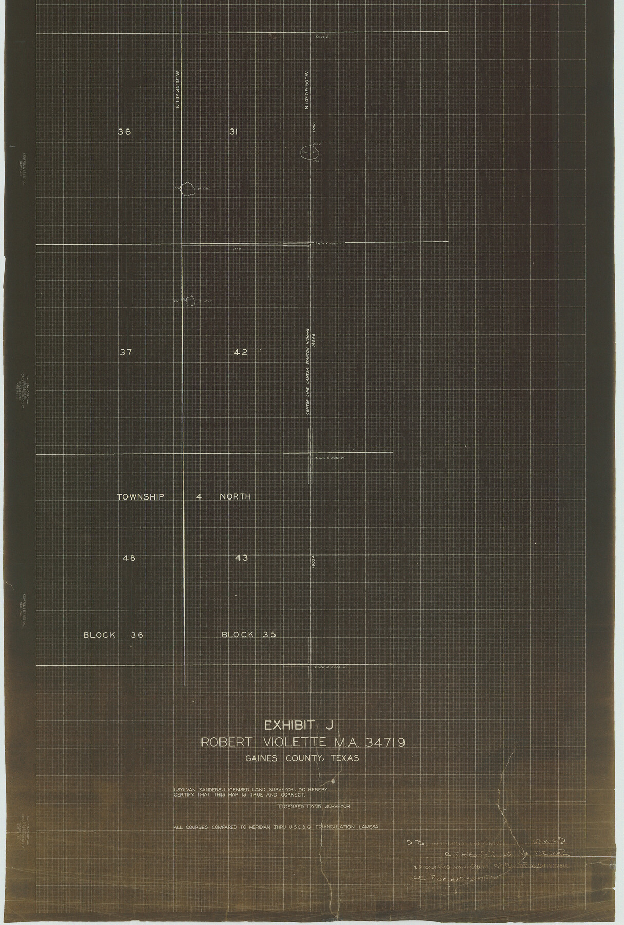
Gaines County Rolled Sketch 15C
Exhibit J, Robert Violette MA 34719
-
Map/Doc
75929
-
Collection
General Map Collection
-
Object Dates
1940/4/26 (File Date)
-
People and Organizations
Sylvan Sanders (Surveyor/Engineer)
-
Counties
Dawson
-
Subjects
Surveying Rolled Sketch
-
Height x Width
33.6 x 22.7 inches
85.3 x 57.7 cm
-
Medium
van dyke/brownline/sepia
Part of: General Map Collection
Duval County Sketch File 40b

Print $20.00
- Digital $50.00
Duval County Sketch File 40b
Size 28.0 x 31.4 inches
Map/Doc 11396
Galveston County Rolled Sketch 27

Print $20.00
- Digital $50.00
Galveston County Rolled Sketch 27
1978
Size 29.6 x 33.3 inches
Map/Doc 10301
Hall County Sketch File 5

Print $20.00
- Digital $50.00
Hall County Sketch File 5
1884
Size 18.9 x 24.1 inches
Map/Doc 11602
Flight Mission No. CGI-3N, Frame 53, Cameron County

Print $20.00
- Digital $50.00
Flight Mission No. CGI-3N, Frame 53, Cameron County
1954
Size 18.5 x 22.2 inches
Map/Doc 84559
Brazos River, Brazos River Sheet 8

Print $4.00
- Digital $50.00
Brazos River, Brazos River Sheet 8
1926
Size 22.6 x 29.2 inches
Map/Doc 65301
Mexico and Guatemala

Print $20.00
- Digital $50.00
Mexico and Guatemala
1850
Size 14.6 x 17.9 inches
Map/Doc 93652
Map of Presidio County

Print $40.00
- Digital $50.00
Map of Presidio County
1895
Size 53.0 x 38.6 inches
Map/Doc 3968
Live Oak County Rolled Sketch 5

Print $20.00
- Digital $50.00
Live Oak County Rolled Sketch 5
1947
Size 33.6 x 32.2 inches
Map/Doc 9454
Ellis County Sketch File 3

Print $20.00
- Digital $50.00
Ellis County Sketch File 3
Size 23.6 x 28.0 inches
Map/Doc 11462

Bee County Sketch File 8b

Print $4.00
- Digital $50.00
Bee County Sketch File 8b
Size 11.5 x 8.1 inches
Map/Doc 14287
Garza County Sketch File E

Print $20.00
- Digital $50.00
Garza County Sketch File E
Size 16.0 x 15.7 inches
Map/Doc 11552
You may also like
[Leagues 247, 320, and 321]
![91290, [Leagues 247, 320, and 321], Twichell Survey Records](https://historictexasmaps.com/wmedia_w700/maps/91290-1.tif.jpg)
Print $2.00
- Digital $50.00
[Leagues 247, 320, and 321]
Size 7.8 x 14.5 inches
Map/Doc 91290
Sectional Map No. 3 of the lands and of the line of the Texas & Pacific Ry. Co. in Reeves and parts of Tom Green, Pecos, Presidio & El Paso Cos.

Print $20.00
- Digital $50.00
Sectional Map No. 3 of the lands and of the line of the Texas & Pacific Ry. Co. in Reeves and parts of Tom Green, Pecos, Presidio & El Paso Cos.
1885
Size 24.2 x 18.9 inches
Map/Doc 4858
Wheeler County Sketch File 7

Print $20.00
- Digital $50.00
Wheeler County Sketch File 7
Size 38.1 x 47.7 inches
Map/Doc 10431
Duval County Rolled Sketch 26
Print $20.00
- Digital $50.00
Duval County Rolled Sketch 26
1945
Size 21.2 x 20.0 inches
Map/Doc 5744
Jeff Davis County Sketch File 25b

Print $20.00
- Digital $50.00
Jeff Davis County Sketch File 25b
Size 18.9 x 20.0 inches
Map/Doc 11861
Baylor County Sketch File 22

Print $10.00
- Digital $50.00
Baylor County Sketch File 22
1913
Size 11.2 x 8.8 inches
Map/Doc 14199
Harris County Rolled Sketch 28(1)

Print $39.00
- Digital $50.00
Harris County Rolled Sketch 28(1)
Size 10.0 x 15.3 inches
Map/Doc 45770
Flight Mission No. CUG-1P, Frame 111, Kleberg County

Print $20.00
- Digital $50.00
Flight Mission No. CUG-1P, Frame 111, Kleberg County
1956
Size 18.5 x 22.2 inches
Map/Doc 86161
Texas Intracoastal Waterway - Laguna Madre - Dagger Hill to Potrero Grande

Print $20.00
- Digital $50.00
Texas Intracoastal Waterway - Laguna Madre - Dagger Hill to Potrero Grande
1960
Size 38.7 x 27.2 inches
Map/Doc 73510
Proceedings of The International (Water) Boundary Commission United States and Mexico Treaties of 1884 and 1889, Volume 1

Proceedings of The International (Water) Boundary Commission United States and Mexico Treaties of 1884 and 1889, Volume 1
Map/Doc 83146
Martin County Sketch File 15

Print $4.00
- Digital $50.00
Martin County Sketch File 15
Size 11.9 x 8.3 inches
Map/Doc 30674
Johnson County Boundary File 51d

Print $6.00
- Digital $50.00
Johnson County Boundary File 51d
Size 7.9 x 17.8 inches
Map/Doc 55631