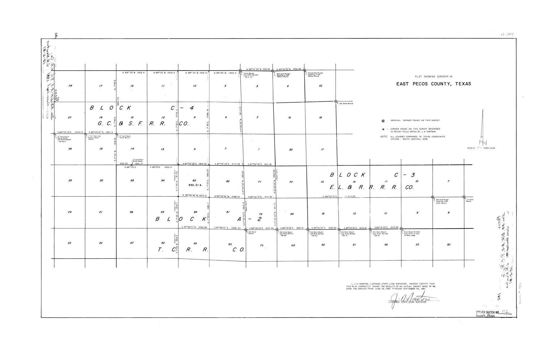
Pecos County Rolled Sketch 182
Plat showing surveys in east Pecos County, Texas
-
Map/Doc
7301
-
Collection
General Map Collection
-
Object Dates
1981/9/30 (Survey Date)
1981/12/2 (File Date)
-
People and Organizations
J.N. Newton (Surveyor/Engineer)
-
Counties
Pecos
-
Subjects
Surveying Rolled Sketch
-
Height x Width
21.4 x 33.9 inches
54.4 x 86.1 cm
-
Medium
mylar, print
-
Scale
1" = 1000 varas
Part of: General Map Collection
Brewster County Sketch File C-1

Print $14.00
- Digital $50.00
Brewster County Sketch File C-1
1911
Size 11.2 x 8.9 inches
Map/Doc 15719
Newton County Working Sketch 17

Print $20.00
- Digital $50.00
Newton County Working Sketch 17
1950
Size 15.1 x 23.0 inches
Map/Doc 71263
Controlled Mosaic by Jack Amman Photogrammetric Engineers, Inc - Sheet 37

Print $20.00
- Digital $50.00
Controlled Mosaic by Jack Amman Photogrammetric Engineers, Inc - Sheet 37
1954
Size 20.0 x 24.0 inches
Map/Doc 83492
Flight Mission No. CLL-4N, Frame 36, Willacy County

Print $20.00
- Digital $50.00
Flight Mission No. CLL-4N, Frame 36, Willacy County
1954
Size 18.4 x 22.1 inches
Map/Doc 87109
Coleman County Sketch File 27

Print $4.00
- Digital $50.00
Coleman County Sketch File 27
1873
Size 12.8 x 8.0 inches
Map/Doc 18714
Flight Mission No. DQN-5K, Frame 77, Calhoun County

Print $20.00
- Digital $50.00
Flight Mission No. DQN-5K, Frame 77, Calhoun County
1953
Size 18.5 x 22.1 inches
Map/Doc 84410
Travis County Working Sketch 40

Print $20.00
- Digital $50.00
Travis County Working Sketch 40
1974
Size 31.7 x 32.1 inches
Map/Doc 69424
Refugio County NRC Article 33.136 Location Key Sheet

Print $20.00
- Digital $50.00
Refugio County NRC Article 33.136 Location Key Sheet
1979
Size 27.0 x 23.0 inches
Map/Doc 77034
Brazoria County Sketch File 12a

Print $4.00
- Digital $50.00
Brazoria County Sketch File 12a
1886
Size 11.2 x 8.5 inches
Map/Doc 14971
Wichita County Sketch File 14

Print $20.00
- Digital $50.00
Wichita County Sketch File 14
1885
Size 17.7 x 17.0 inches
Map/Doc 12678
Polk County Sketch File 45

Print $4.00
- Digital $50.00
Polk County Sketch File 45
Size 11.3 x 8.8 inches
Map/Doc 34376
Jack County Sketch File 18a

Print $4.00
- Digital $50.00
Jack County Sketch File 18a
Size 8.0 x 12.8 inches
Map/Doc 27555
You may also like
McCulloch County Sketch File 4

Print $4.00
- Digital $50.00
McCulloch County Sketch File 4
1883
Size 11.1 x 8.5 inches
Map/Doc 31175
Gregg County Rolled Sketch 12

Print $40.00
- Digital $50.00
Gregg County Rolled Sketch 12
1939
Size 49.5 x 55.5 inches
Map/Doc 9065
Red River County Working Sketch 58

Print $40.00
- Digital $50.00
Red River County Working Sketch 58
1972
Size 51.4 x 39.0 inches
Map/Doc 72041
Midland County Rolled Sketch 5

Print $20.00
- Digital $50.00
Midland County Rolled Sketch 5
Size 35.3 x 44.8 inches
Map/Doc 10695
Zavala County

Print $20.00
- Digital $50.00
Zavala County
1977
Size 36.6 x 41.6 inches
Map/Doc 77468
Bird's Eye View of Corpus Christi

Print $20.00
Bird's Eye View of Corpus Christi
1887
Size 21.4 x 28.0 inches
Map/Doc 94113
Map of section no. 11 of a survey of Padre Island made for the Office of the Attorney General of the State of Texas

Print $40.00
- Digital $50.00
Map of section no. 11 of a survey of Padre Island made for the Office of the Attorney General of the State of Texas
1941
Size 60.1 x 40.4 inches
Map/Doc 2267
Copano, St. Charles, Aransas and Red Fish Bays, in Aransas and Nueces Counties, showing Subdivision for Mineral Development

Print $40.00
- Digital $50.00
Copano, St. Charles, Aransas and Red Fish Bays, in Aransas and Nueces Counties, showing Subdivision for Mineral Development
1949
Size 55.9 x 40.0 inches
Map/Doc 1914

Bandera County Working Sketch 34

Print $20.00
- Digital $50.00
Bandera County Working Sketch 34
1963
Size 36.5 x 29.2 inches
Map/Doc 67630
Dimmit County Sketch File 2

Print $6.00
- Digital $50.00
Dimmit County Sketch File 2
Size 8.6 x 7.9 inches
Map/Doc 21055
Dimmit County Working Sketch 33

Print $40.00
- Digital $50.00
Dimmit County Working Sketch 33
1959
Size 27.0 x 53.8 inches
Map/Doc 68694