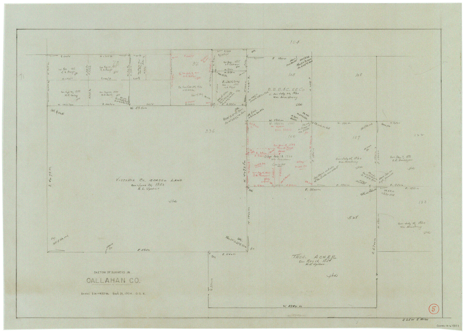
Callahan County Working Sketch 5
-
Map/Doc
67887
-
Collection
General Map Collection
-
Object Dates
9/21/1954 (Creation Date)
-
People and Organizations
Otto G. Kurio (Draftsman)
-
Counties
Callahan
-
Subjects
Surveying Working Sketch
-
Height x Width
24.3 x 33.8 inches
61.7 x 85.9 cm
-
Scale
1" = 400 varas
Part of: General Map Collection
Pecos County Working Sketch 79

Print $20.00
- Digital $50.00
Pecos County Working Sketch 79
1960
Size 22.6 x 24.3 inches
Map/Doc 71551
Map of Crockett Co.

Print $20.00
- Digital $50.00
Map of Crockett Co.
1901
Size 31.7 x 42.4 inches
Map/Doc 1475
Red River County Sketch File 1a

Print $4.00
- Digital $50.00
Red River County Sketch File 1a
1854
Size 12.7 x 8.0 inches
Map/Doc 35093
Bell County Working Sketch 9

Print $20.00
- Digital $50.00
Bell County Working Sketch 9
1954
Size 32.3 x 27.9 inches
Map/Doc 67349
Val Verde County Working Sketch 71

Print $40.00
- Digital $50.00
Val Verde County Working Sketch 71
1966
Size 27.0 x 62.3 inches
Map/Doc 72206
Lynn County Rolled Sketch 5

Print $20.00
- Digital $50.00
Lynn County Rolled Sketch 5
1912
Size 17.1 x 26.4 inches
Map/Doc 6645
Jefferson County NRC Article 33.136 Sketch 12

Print $22.00
- Digital $50.00
Jefferson County NRC Article 33.136 Sketch 12
2017
Size 24.0 x 36.0 inches
Map/Doc 95055
[Sketch for Mineral Application 20124, North Fork of Red River]
![2826, [Sketch for Mineral Application 20124, North Fork of Red River], General Map Collection](https://historictexasmaps.com/wmedia_w700/maps/2826.tif.jpg)
Print $20.00
- Digital $50.00
[Sketch for Mineral Application 20124, North Fork of Red River]
1943
Size 18.5 x 26.0 inches
Map/Doc 2826
Runnels County

Print $20.00
- Digital $50.00
Runnels County
1898
Size 43.3 x 36.9 inches
Map/Doc 63009
San Jacinto County Working Sketch 12

Print $20.00
- Digital $50.00
San Jacinto County Working Sketch 12
1935
Size 33.4 x 37.3 inches
Map/Doc 63725
Burnet County Sketch File 13

Print $4.00
- Digital $50.00
Burnet County Sketch File 13
1848
Size 12.8 x 8.2 inches
Map/Doc 16696
Pecos County Rolled Sketch 103

Print $20.00
- Digital $50.00
Pecos County Rolled Sketch 103
1940
Size 27.5 x 32.4 inches
Map/Doc 7251
You may also like
[Aerial photograph from Carancahua Bend of Caney Creek to Cedar Lake]
![78639, [Aerial photograph from Carancahua Bend of Caney Creek to Cedar Lake], General Map Collection](https://historictexasmaps.com/wmedia_w700/maps/78639.tif.jpg)
Print $20.00
- Digital $50.00
[Aerial photograph from Carancahua Bend of Caney Creek to Cedar Lake]
1991
Size 24.4 x 34.0 inches
Map/Doc 78639
Harris County Working Sketch 86

Print $20.00
- Digital $50.00
Harris County Working Sketch 86
1972
Size 42.7 x 31.9 inches
Map/Doc 65978
Harrison County

Print $20.00
- Digital $50.00
Harrison County
1920
Size 43.0 x 40.0 inches
Map/Doc 77305
[Surveys in Polk County]
![329, [Surveys in Polk County], General Map Collection](https://historictexasmaps.com/wmedia_w700/maps/329.tif.jpg)
Print $2.00
- Digital $50.00
[Surveys in Polk County]
1847
Size 6.6 x 8.0 inches
Map/Doc 329

[Atlas C, Table of Contents]
![78353, [Atlas C, Table of Contents], General Map Collection](https://historictexasmaps.com/wmedia_w700/maps/78353.tif.jpg)
Print $3.00
- Digital $50.00
[Atlas C, Table of Contents]
Size 14.7 x 9.6 inches
Map/Doc 78353
Shelby County Sketch File 5

Print $22.00
- Digital $50.00
Shelby County Sketch File 5
Size 8.4 x 12.1 inches
Map/Doc 36599
Hardeman County Rolled Sketch 23

Print $20.00
- Digital $50.00
Hardeman County Rolled Sketch 23
1952
Size 34.6 x 30.8 inches
Map/Doc 10671
Gray County Sketch File A

Print $20.00
- Digital $50.00
Gray County Sketch File A
1889
Size 14.2 x 14.6 inches
Map/Doc 24456
Navigation Maps of Gulf Intracoastal Waterway, Port Arthur to Brownsville, Texas

Print $4.00
- Digital $50.00
Navigation Maps of Gulf Intracoastal Waterway, Port Arthur to Brownsville, Texas
1951
Size 16.6 x 21.5 inches
Map/Doc 65427
Burnet County Sketch File 3

Print $4.00
- Digital $50.00
Burnet County Sketch File 3
Size 12.3 x 8.1 inches
Map/Doc 16674
[Unknown Building Sketch]
![75793, [Unknown Building Sketch], Maddox Collection](https://historictexasmaps.com/wmedia_w700/maps/75793.tif.jpg)
Print $20.00
- Digital $50.00
[Unknown Building Sketch]
Size 15.3 x 23.0 inches
Map/Doc 75793