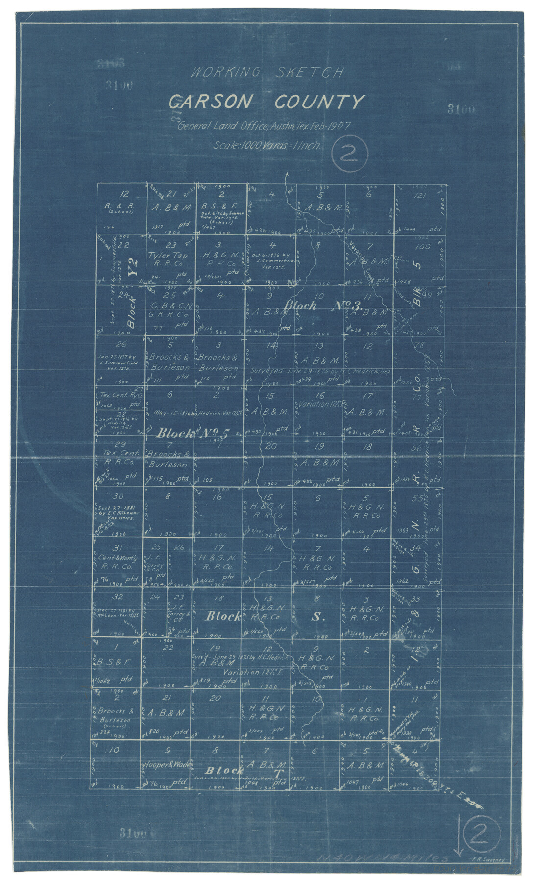
Carson County Working Sketch 2
-
Map/Doc
67873
-
Collection
General Map Collection
-
Object Dates
2/1907 (Creation Date)
-
People and Organizations
Frank R. Sweeney (Draftsman)
-
Counties
Carson
-
Subjects
Surveying Working Sketch
-
Height x Width
16.7 x 10.0 inches
42.4 x 25.4 cm
-
Scale
1" = 1000 varas
Part of: General Map Collection
Current Miscellaneous File 102

Print $611.00
- Digital $50.00
Current Miscellaneous File 102
Size 11.5 x 7.1 inches
Map/Doc 74379
Flight Mission No. CRK-5P, Frame 128, Refugio County

Print $20.00
- Digital $50.00
Flight Mission No. CRK-5P, Frame 128, Refugio County
1956
Size 18.6 x 22.5 inches
Map/Doc 86931
Sectional Map No. 2 of the lands and the line of the Texas & Pacific Ry. Co. in Howard, Martin, Andrews, Midland and Tom Green Counties

Print $20.00
- Digital $50.00
Sectional Map No. 2 of the lands and the line of the Texas & Pacific Ry. Co. in Howard, Martin, Andrews, Midland and Tom Green Counties
1885
Size 19.1 x 23.3 inches
Map/Doc 4862
Flight Mission No. DCL-6C, Frame 121, Kenedy County

Print $20.00
- Digital $50.00
Flight Mission No. DCL-6C, Frame 121, Kenedy County
1943
Size 18.6 x 22.4 inches
Map/Doc 85951

Hardeman County Aerial Photograph Index Sheet 4

Print $20.00
- Digital $50.00
Hardeman County Aerial Photograph Index Sheet 4
1950
Size 20.3 x 17.0 inches
Map/Doc 83700
San Jacinto River and Tributaries, Texas - Survey of 1939

Print $20.00
- Digital $50.00
San Jacinto River and Tributaries, Texas - Survey of 1939
1939
Size 27.8 x 40.7 inches
Map/Doc 60308
Map of Harris County

Print $40.00
- Digital $50.00
Map of Harris County
1897
Size 48.4 x 66.9 inches
Map/Doc 82068
McCulloch County Rolled Sketch 11

Print $20.00
- Digital $50.00
McCulloch County Rolled Sketch 11
1992
Size 46.3 x 40.3 inches
Map/Doc 9499
San Patricio County Rolled Sketch 47

Print $20.00
- Digital $50.00
San Patricio County Rolled Sketch 47
1939
Size 27.6 x 29.6 inches
Map/Doc 7731
Robertson Co.

Print $20.00
- Digital $50.00
Robertson Co.
1945
Size 46.3 x 37.2 inches
Map/Doc 77409
Howard County Working Sketch 1

Print $20.00
- Digital $50.00
Howard County Working Sketch 1
1941
Size 19.7 x 25.1 inches
Map/Doc 66267
You may also like
Refugio County Rolled Sketch 9

Print $20.00
- Digital $50.00
Refugio County Rolled Sketch 9
1955
Size 32.4 x 35.2 inches
Map/Doc 7509
Medina County Working Sketch 13

Print $20.00
- Digital $50.00
Medina County Working Sketch 13
1972
Size 31.5 x 39.0 inches
Map/Doc 70928
McCulloch County Sketch File 2

Print $4.00
- Digital $50.00
McCulloch County Sketch File 2
1872
Size 12.8 x 8.1 inches
Map/Doc 31167
[Surveys in the Bexar District along the Nueces and Leona Rivers]
![116, [Surveys in the Bexar District along the Nueces and Leona Rivers], General Map Collection](https://historictexasmaps.com/wmedia_w700/maps/116.tif.jpg)
Print $3.00
- Digital $50.00
[Surveys in the Bexar District along the Nueces and Leona Rivers]
1845
Size 10.9 x 14.3 inches
Map/Doc 116
Map showing the environs of Brazos Islnd. Texas

Print $20.00
- Digital $50.00
Map showing the environs of Brazos Islnd. Texas
1864
Size 26.2 x 18.2 inches
Map/Doc 72914
Baylor County Boundary File 6

Print $82.00
- Digital $50.00
Baylor County Boundary File 6
Size 9.5 x 65.3 inches
Map/Doc 50400
Live Oak County

Print $20.00
- Digital $50.00
Live Oak County
1879
Size 27.3 x 21.5 inches
Map/Doc 3821
Culberson County Rolled Sketch 64

Print $20.00
- Digital $50.00
Culberson County Rolled Sketch 64
1987
Size 24.3 x 19.4 inches
Map/Doc 5680
Pecos County Rolled Sketch 54

Print $11.00
- Digital $50.00
Pecos County Rolled Sketch 54
1916
Size 9.7 x 15.0 inches
Map/Doc 48099
Galveston County NRC Article 33.136 Sketch 53

Print $24.00
- Digital $50.00
Galveston County NRC Article 33.136 Sketch 53
2009
Size 22.3 x 34.0 inches
Map/Doc 94609
Young County Working Sketch 1

Print $20.00
- Digital $50.00
Young County Working Sketch 1
1960
Size 31.1 x 41.9 inches
Map/Doc 62024
Flight Mission No. CUG-1P, Frame 43, Kleberg County

Print $20.00
- Digital $50.00
Flight Mission No. CUG-1P, Frame 43, Kleberg County
1956
Size 18.6 x 22.4 inches
Map/Doc 86121