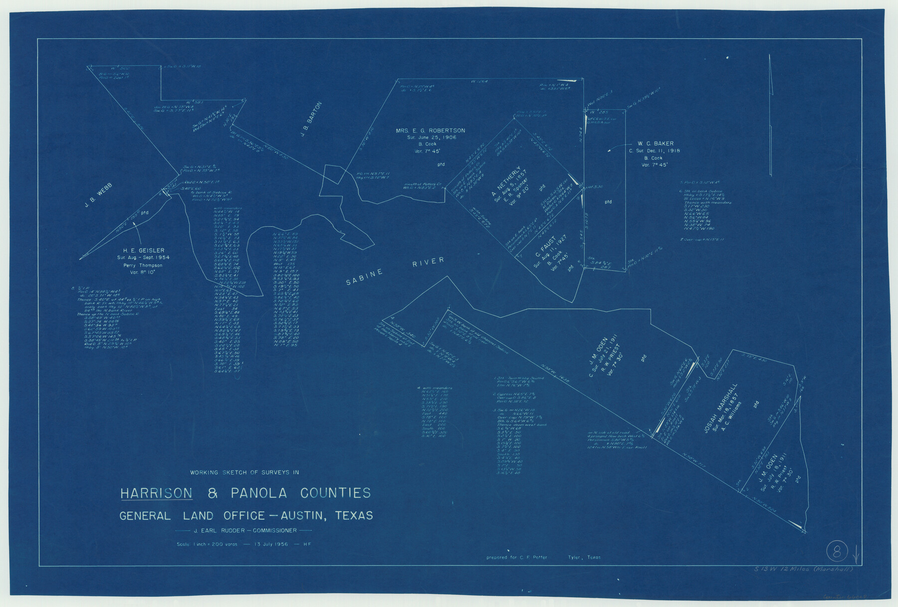
Harrison County Working Sketch 8
-
Map/Doc
66028
-
Collection
General Map Collection
-
Object Dates
7/13/1956 (Creation Date)
-
People and Organizations
Herman Forbes (Draftsman)
-
Counties
Harrison Panola
-
Subjects
Surveying Working Sketch
-
Height x Width
20.6 x 30.5 inches
52.3 x 77.5 cm
-
Scale
1" = 200 varas
Part of: General Map Collection
Webb County Sketch File 23

Print $20.00
- Digital $50.00
Webb County Sketch File 23
1923
Size 25.4 x 16.3 inches
Map/Doc 12638
Flight Mission No. DCL-7C, Frame 141, Kenedy County

Print $20.00
- Digital $50.00
Flight Mission No. DCL-7C, Frame 141, Kenedy County
1943
Size 18.5 x 22.4 inches
Map/Doc 86098
Reeves County Rolled Sketch 29

Print $20.00
- Digital $50.00
Reeves County Rolled Sketch 29
1986
Size 21.6 x 27.5 inches
Map/Doc 7498
Nueces County NRC Article 33.136 Sketch 8

Print $26.00
- Digital $50.00
Nueces County NRC Article 33.136 Sketch 8
2004
Size 21.9 x 33.1 inches
Map/Doc 82916
Dawson County Sketch File 18

Print $10.00
- Digital $50.00
Dawson County Sketch File 18
1940
Size 14.2 x 9.0 inches
Map/Doc 20567
Flight Mission No. DAG-19K, Frame 56, Matagorda County

Print $20.00
- Digital $50.00
Flight Mission No. DAG-19K, Frame 56, Matagorda County
1952
Size 18.5 x 22.3 inches
Map/Doc 86383
Flight Mission No. DIX-10P, Frame 82, Aransas County

Print $20.00
- Digital $50.00
Flight Mission No. DIX-10P, Frame 82, Aransas County
1956
Size 18.8 x 22.4 inches
Map/Doc 83943
Flight Mission No. DQN-2K, Frame 7, Calhoun County

Print $20.00
- Digital $50.00
Flight Mission No. DQN-2K, Frame 7, Calhoun County
1953
Size 18.4 x 22.1 inches
Map/Doc 84224
Williamson County Sketch File 32

Print $6.00
- Digital $50.00
Williamson County Sketch File 32
1986
Size 11.3 x 8.5 inches
Map/Doc 40393
Bee County Sketch File 19

Print $6.00
- Digital $50.00
Bee County Sketch File 19
Size 12.7 x 8.4 inches
Map/Doc 14305
Bailey County

Print $20.00
- Digital $50.00
Bailey County
1913
Size 29.0 x 22.5 inches
Map/Doc 66708
Aransas County Sketch File 21c

Print $4.00
- Digital $50.00
Aransas County Sketch File 21c
Size 8.7 x 14.0 inches
Map/Doc 13162
You may also like
Wheeler County Sketch File 5

Print $40.00
- Digital $50.00
Wheeler County Sketch File 5
1887
Size 20.2 x 24.2 inches
Map/Doc 12675
Sulphur River, North Extension, Turner Lake Sheet

Print $4.00
- Digital $50.00
Sulphur River, North Extension, Turner Lake Sheet
1922
Size 17.8 x 18.6 inches
Map/Doc 65158
Map of Africa engraved to illustrate Mitchell's new intermediate geography (Inset 1: Map of Egypt / Inset 2: Liberia and Sierra Leone)

Print $20.00
- Digital $50.00
Map of Africa engraved to illustrate Mitchell's new intermediate geography (Inset 1: Map of Egypt / Inset 2: Liberia and Sierra Leone)
1885
Size 9.0 x 12.2 inches
Map/Doc 93530
Wise County Sketch File A

Print $8.00
- Digital $50.00
Wise County Sketch File A
1884
Size 9.1 x 8.1 inches
Map/Doc 40609
Flight Mission No. DQN-2K, Frame 66, Calhoun County

Print $20.00
- Digital $50.00
Flight Mission No. DQN-2K, Frame 66, Calhoun County
1953
Size 18.9 x 22.3 inches
Map/Doc 84258
Duval County Sketch File 45a

Print $9.00
- Digital $50.00
Duval County Sketch File 45a
Size 14.5 x 9.0 inches
Map/Doc 21396
Coke County Rolled Sketch 14A

Print $20.00
- Digital $50.00
Coke County Rolled Sketch 14A
Size 21.0 x 14.1 inches
Map/Doc 5515
Brewster County Rolled Sketch 53

Print $20.00
- Digital $50.00
Brewster County Rolled Sketch 53
1934
Size 43.8 x 37.6 inches
Map/Doc 8480
[Section 34 1/2 and Blk.194, Jno. H. Tyler and Bob Reid Surveys, Yates Field]
![91622, [Section 34 1/2 and Blk.194, Jno. H. Tyler and Bob Reid Surveys, Yates Field], Twichell Survey Records](https://historictexasmaps.com/wmedia_w700/maps/91622-1.tif.jpg)
Print $20.00
- Digital $50.00
[Section 34 1/2 and Blk.194, Jno. H. Tyler and Bob Reid Surveys, Yates Field]
Size 22.7 x 20.6 inches
Map/Doc 91622
Map of the country in the vicinity of San Antonio de Bexar reduced in part from the county map of Bexar with additions by J. Edmd. Blake, 1st Lieut Topl. Engs.

Print $20.00
- Digital $50.00
Map of the country in the vicinity of San Antonio de Bexar reduced in part from the county map of Bexar with additions by J. Edmd. Blake, 1st Lieut Topl. Engs.
1845
Size 18.1 x 25.9 inches
Map/Doc 72723
Angelina County Working Sketch 45

Print $20.00
- Digital $50.00
Angelina County Working Sketch 45
1976
Size 25.8 x 29.7 inches
Map/Doc 67128
A New Map of Texas with the Contiguous American & Mexican States

Print $20.00
- Digital $50.00
A New Map of Texas with the Contiguous American & Mexican States
1835
Size 12.9 x 15.8 inches
Map/Doc 93853