[Right of Way & Track Map, The Texas & Pacific Ry. Co. Main Line]
Z-2-192
-
Map/Doc
64666
-
Collection
General Map Collection
-
Counties
Mitchell
-
Subjects
Railroads
-
Height x Width
11.0 x 18.5 inches
27.9 x 47.0 cm
-
Medium
photostat
-
Comments
See counters 64659 through 64691 for all segments.
-
Features
T&P
Iatan
Bankhead Highway
Part of: General Map Collection
Lipscomb County Boundary File 7
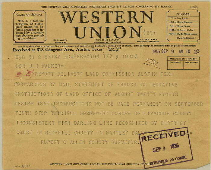

Print $4.00
- Digital $50.00
Lipscomb County Boundary File 7
Size 6.6 x 8.1 inches
Map/Doc 56331
Souvenir - Opening and Dedication of the General Oil Company's New West Texas Oil Field
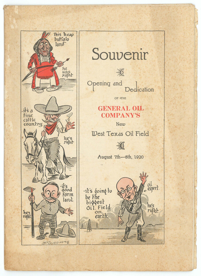

Souvenir - Opening and Dedication of the General Oil Company's New West Texas Oil Field
1920
Map/Doc 97263
Presidio County Sketch File 40
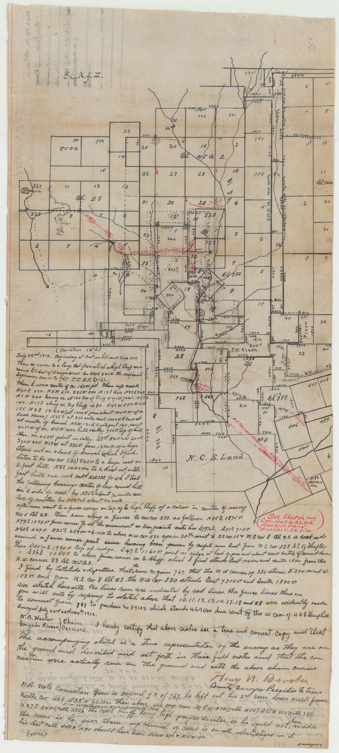

Print $20.00
- Digital $50.00
Presidio County Sketch File 40
1912
Size 24.7 x 23.4 inches
Map/Doc 11715
Carte Reduit d'une partie des Côtes des Isles Australes


Print $20.00
- Digital $50.00
Carte Reduit d'une partie des Côtes des Isles Australes
1782
Size 12.7 x 17.3 inches
Map/Doc 97122
Duval County Rolled Sketch 48
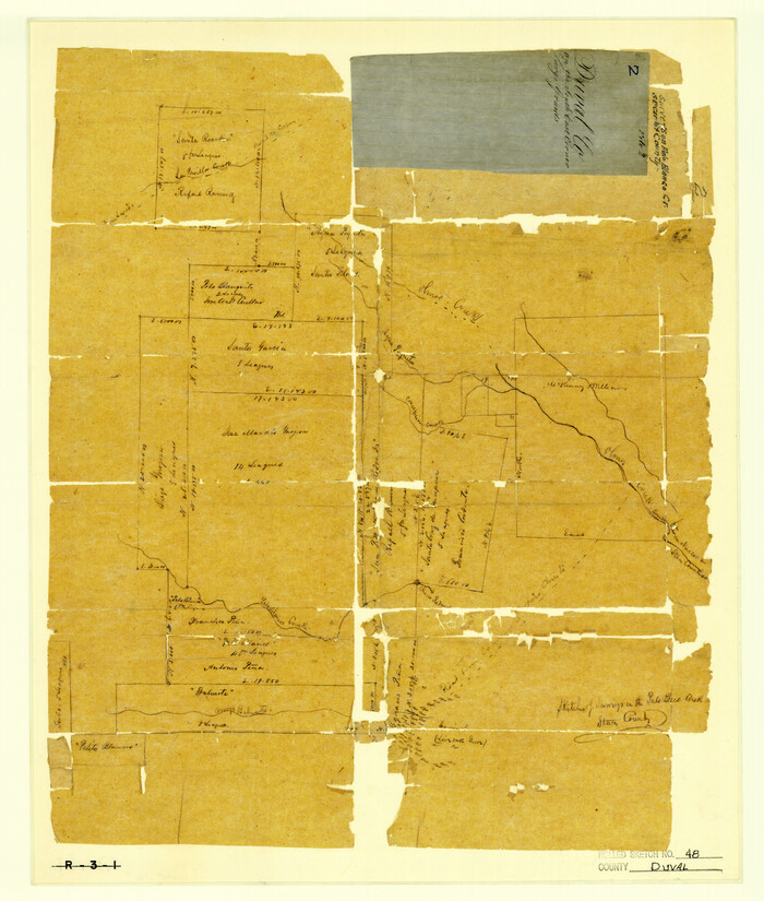

Print $20.00
- Digital $50.00
Duval County Rolled Sketch 48
Size 21.8 x 18.5 inches
Map/Doc 5762
Donley County Sketch File 12


Print $2.00
- Digital $50.00
Donley County Sketch File 12
Size 12.9 x 8.2 inches
Map/Doc 21248
Brazoria County Sketch File 26
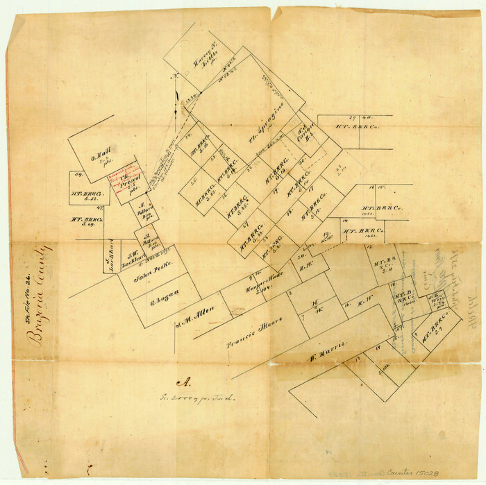

Print $40.00
- Digital $50.00
Brazoria County Sketch File 26
Size 13.6 x 13.6 inches
Map/Doc 15028
Orange County Sketch File 37


Print $8.00
- Digital $50.00
Orange County Sketch File 37
1950
Size 14.2 x 8.8 inches
Map/Doc 33374
Dawson County Sketch File 3a
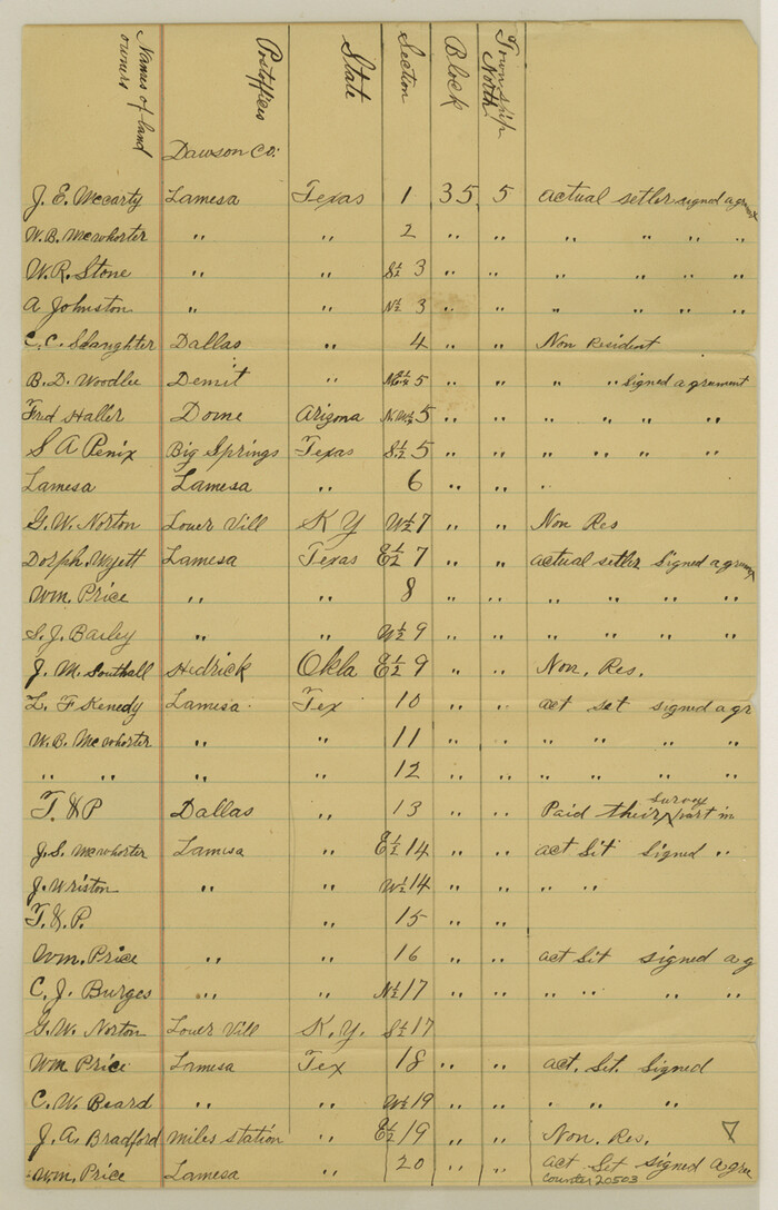

Print $12.00
- Digital $50.00
Dawson County Sketch File 3a
Size 12.9 x 8.3 inches
Map/Doc 20503
Newton County Working Sketch 17
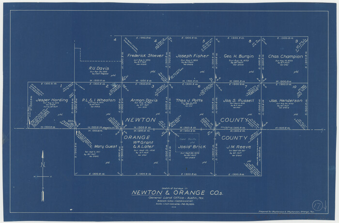

Print $20.00
- Digital $50.00
Newton County Working Sketch 17
1950
Size 15.1 x 23.0 inches
Map/Doc 71263
Midland County Rolled Sketch T
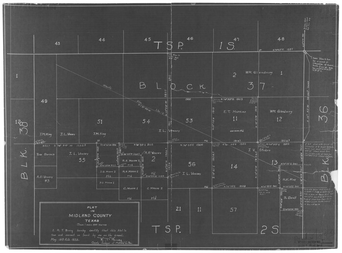

Print $20.00
- Digital $50.00
Midland County Rolled Sketch T
1933
Size 15.9 x 21.4 inches
Map/Doc 6772
Edwards County Boundary File 29
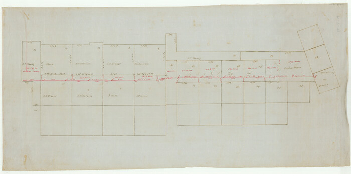

Print $22.00
- Digital $50.00
Edwards County Boundary File 29
Size 15.4 x 31.0 inches
Map/Doc 65502
You may also like
Flight Mission No. BRE-2P, Frame 136, Nueces County
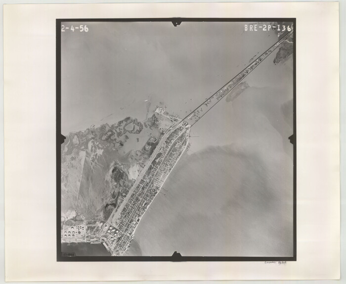

Print $20.00
- Digital $50.00
Flight Mission No. BRE-2P, Frame 136, Nueces County
1956
Size 18.5 x 22.6 inches
Map/Doc 86809
Lamb County Boundary File 1e
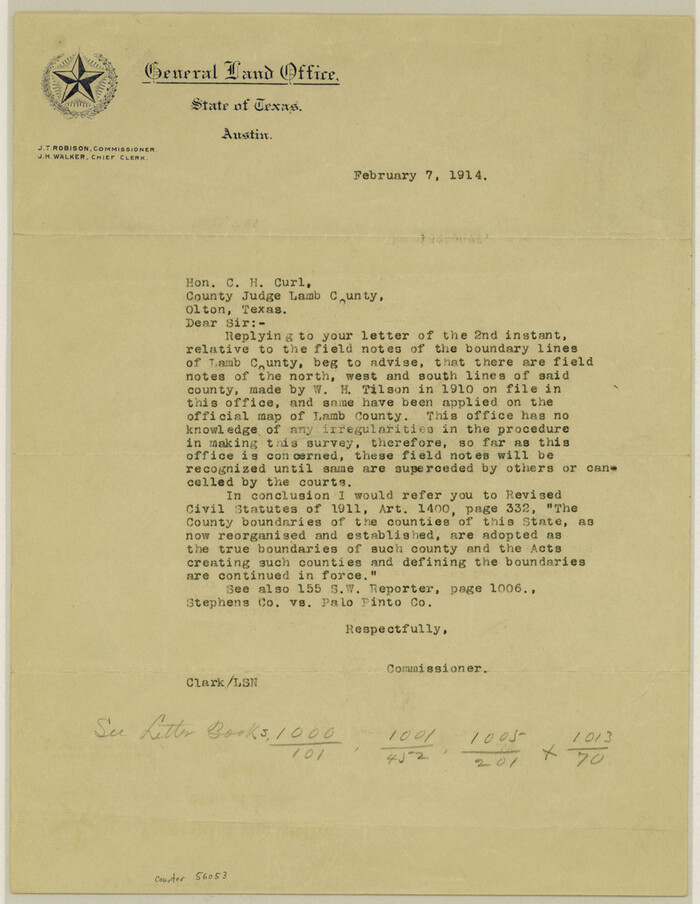

Print $10.00
- Digital $50.00
Lamb County Boundary File 1e
Size 11.3 x 8.8 inches
Map/Doc 56053
Webb County Rolled Sketch 71
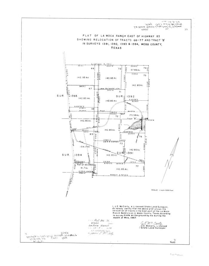

Print $20.00
- Digital $50.00
Webb County Rolled Sketch 71
1967
Size 26.2 x 20.5 inches
Map/Doc 8219
Dawson County Working Sketch 20
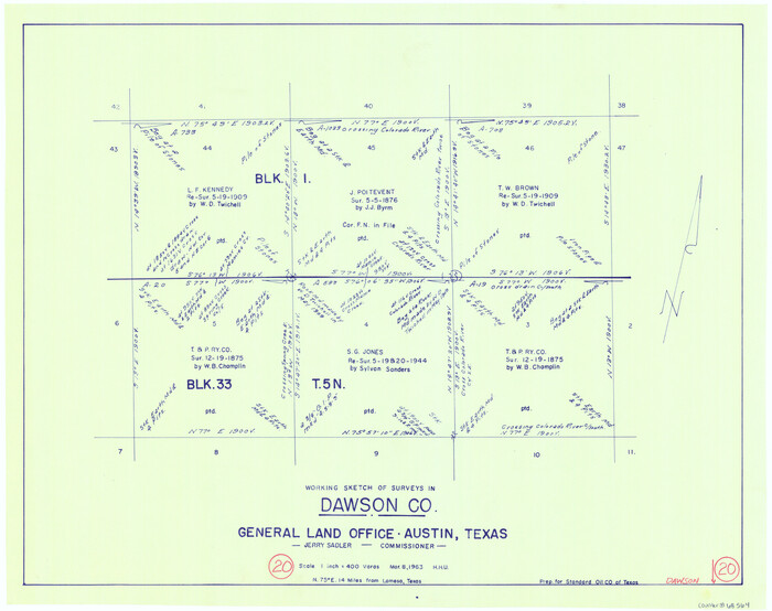

Print $20.00
- Digital $50.00
Dawson County Working Sketch 20
1963
Size 18.2 x 23.0 inches
Map/Doc 68564
Culberson County Sketch File 10


Print $4.00
- Digital $50.00
Culberson County Sketch File 10
1911
Size 14.6 x 9.0 inches
Map/Doc 20144
Drainage Basins of Texas Streams


Print $20.00
- Digital $50.00
Drainage Basins of Texas Streams
Size 35.3 x 42.0 inches
Map/Doc 65270
Map of section no. 12 of a survey of Padre Island made for the Office of the Attorney General of the State of Texas


Print $40.00
- Digital $50.00
Map of section no. 12 of a survey of Padre Island made for the Office of the Attorney General of the State of Texas
1941
Size 75.9 x 41.0 inches
Map/Doc 2268
Montague County Working Sketch 12
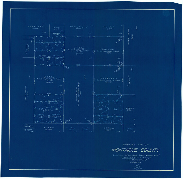

Print $20.00
- Digital $50.00
Montague County Working Sketch 12
1937
Size 23.3 x 23.8 inches
Map/Doc 71078
Val Verde County Working Sketch 55
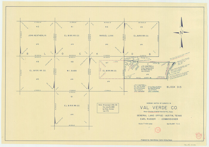

Print $20.00
- Digital $50.00
Val Verde County Working Sketch 55
1957
Size 20.1 x 28.6 inches
Map/Doc 72190
Gaines County Rolled Sketch 34
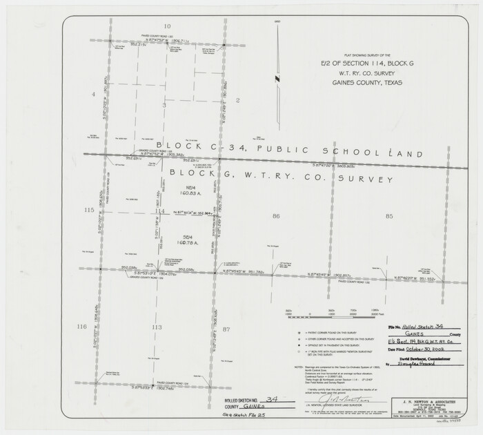

Print $20.00
- Digital $50.00
Gaines County Rolled Sketch 34
2002
Size 20.1 x 22.3 inches
Map/Doc 77533
Webb County Sketch File 61


Print $6.00
- Digital $50.00
Webb County Sketch File 61
1944
Size 14.5 x 8.8 inches
Map/Doc 39859
[Surveys along the Trinity River]
![321, [Surveys along the Trinity River], General Map Collection](https://historictexasmaps.com/wmedia_w700/maps/321.tif.jpg)
![321, [Surveys along the Trinity River], General Map Collection](https://historictexasmaps.com/wmedia_w700/maps/321.tif.jpg)
Print $2.00
- Digital $50.00
[Surveys along the Trinity River]
Size 3.6 x 3.7 inches
Map/Doc 321
![64666, [Right of Way & Track Map, The Texas & Pacific Ry. Co. Main Line], General Map Collection](https://historictexasmaps.com/wmedia_w1800h1800/maps/64666.tif.jpg)