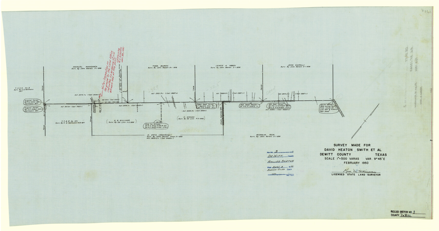
DeWitt County Rolled Sketch 3
Survey made for David Heaton Smith, et al
-
Map/Doc
5703
-
Collection
General Map Collection
-
Object Dates
1950 (Creation Date)
1950/3/8 (File Date)
-
People and Organizations
Robt. M. Atkinson (Surveyor/Engineer)
-
Counties
DeWitt
-
Subjects
Surveying Rolled Sketch
-
Height x Width
19.9 x 37.8 inches
50.5 x 96.0 cm
-
Medium
linen, manuscript
-
Scale
1" = 500 varas
Part of: General Map Collection
Dimmit County Working Sketch 7

Print $20.00
- Digital $50.00
Dimmit County Working Sketch 7
1927
Size 26.2 x 22.3 inches
Map/Doc 68668
Wharton County Rolled Sketch 8

Print $20.00
- Digital $50.00
Wharton County Rolled Sketch 8
Size 24.4 x 39.2 inches
Map/Doc 8232
Nacogdoches County Working Sketch 6

Print $20.00
- Digital $50.00
Nacogdoches County Working Sketch 6
1955
Size 14.7 x 12.5 inches
Map/Doc 71222
Jefferson County NRC Article 33.136 Sketch 4

Print $2.00
- Digital $50.00
Jefferson County NRC Article 33.136 Sketch 4
2004
Size 14.5 x 8.4 inches
Map/Doc 82993
Polk County Working Sketch 29

Print $40.00
- Digital $50.00
Polk County Working Sketch 29
1960
Size 56.0 x 45.0 inches
Map/Doc 71645
Willacy County Sketch File 1

Print $30.00
- Digital $50.00
Willacy County Sketch File 1
1981
Size 11.2 x 8.6 inches
Map/Doc 40234
Brewster County Rolled Sketch 23

Print $20.00
- Digital $50.00
Brewster County Rolled Sketch 23
Size 24.5 x 24.8 inches
Map/Doc 5207
Culberson County Working Sketch 67

Print $40.00
- Digital $50.00
Culberson County Working Sketch 67
1975
Size 48.9 x 33.2 inches
Map/Doc 68521
Comanche County Sketch File 8

Print $4.00
- Digital $50.00
Comanche County Sketch File 8
1853
Size 13.1 x 8.2 inches
Map/Doc 19066
Edwards County Working Sketch 46

Print $20.00
- Digital $50.00
Edwards County Working Sketch 46
1950
Size 39.8 x 37.4 inches
Map/Doc 68922
Hutchinson County Working Sketch 8

Print $20.00
- Digital $50.00
Hutchinson County Working Sketch 8
1919
Size 24.8 x 16.7 inches
Map/Doc 66366

You may also like
Pecos County Rolled Sketch ANL

Print $20.00
- Digital $50.00
Pecos County Rolled Sketch ANL
Size 31.5 x 38.4 inches
Map/Doc 7308
Mills County Sketch File 26

Print $4.00
- Digital $50.00
Mills County Sketch File 26
1998
Size 14.3 x 8.8 inches
Map/Doc 31678

Harris County Working Sketch 28

Print $20.00
- Digital $50.00
Harris County Working Sketch 28
Size 34.4 x 43.1 inches
Map/Doc 65920
G. Woolworth Colton's new guide map of the United States & Canada, with railroads, counties, etc.

Print $20.00
G. Woolworth Colton's new guide map of the United States & Canada, with railroads, counties, etc.
1862
Size 30.3 x 36.6 inches
Map/Doc 93614
Events of the Texas Revolution

Events of the Texas Revolution
2023
Size 8.5 x 11.0 inches
Map/Doc 97188
Medina County Rolled Sketch 19

Print $40.00
- Digital $50.00
Medina County Rolled Sketch 19
1987
Size 45.1 x 57.8 inches
Map/Doc 9508
Gregg County Boundary File 9

Print $16.00
- Digital $50.00
Gregg County Boundary File 9
Size 4.1 x 14.9 inches
Map/Doc 54023
Atascosa County Rolled Sketch 26

Print $20.00
- Digital $50.00
Atascosa County Rolled Sketch 26
2013
Size 24.6 x 36.6 inches
Map/Doc 95409
[Surveys between Upper Keechi Creek and the Trinity River]
![293, [Surveys between Upper Keechi Creek and the Trinity River], General Map Collection](https://historictexasmaps.com/wmedia_w700/maps/293.tif.jpg)
Print $2.00
- Digital $50.00
[Surveys between Upper Keechi Creek and the Trinity River]
Size 8.5 x 6.9 inches
Map/Doc 293
Jefferson County Rolled Sketch 49

Print $40.00
- Digital $50.00
Jefferson County Rolled Sketch 49
1963
Size 30.6 x 57.5 inches
Map/Doc 46415
Bexar County State Real Property Sketch 2

Print $40.00
- Digital $50.00
Bexar County State Real Property Sketch 2
1997
Size 25.6 x 38.7 inches
Map/Doc 61701