Nueces County Rolled Sketch 123 A-D
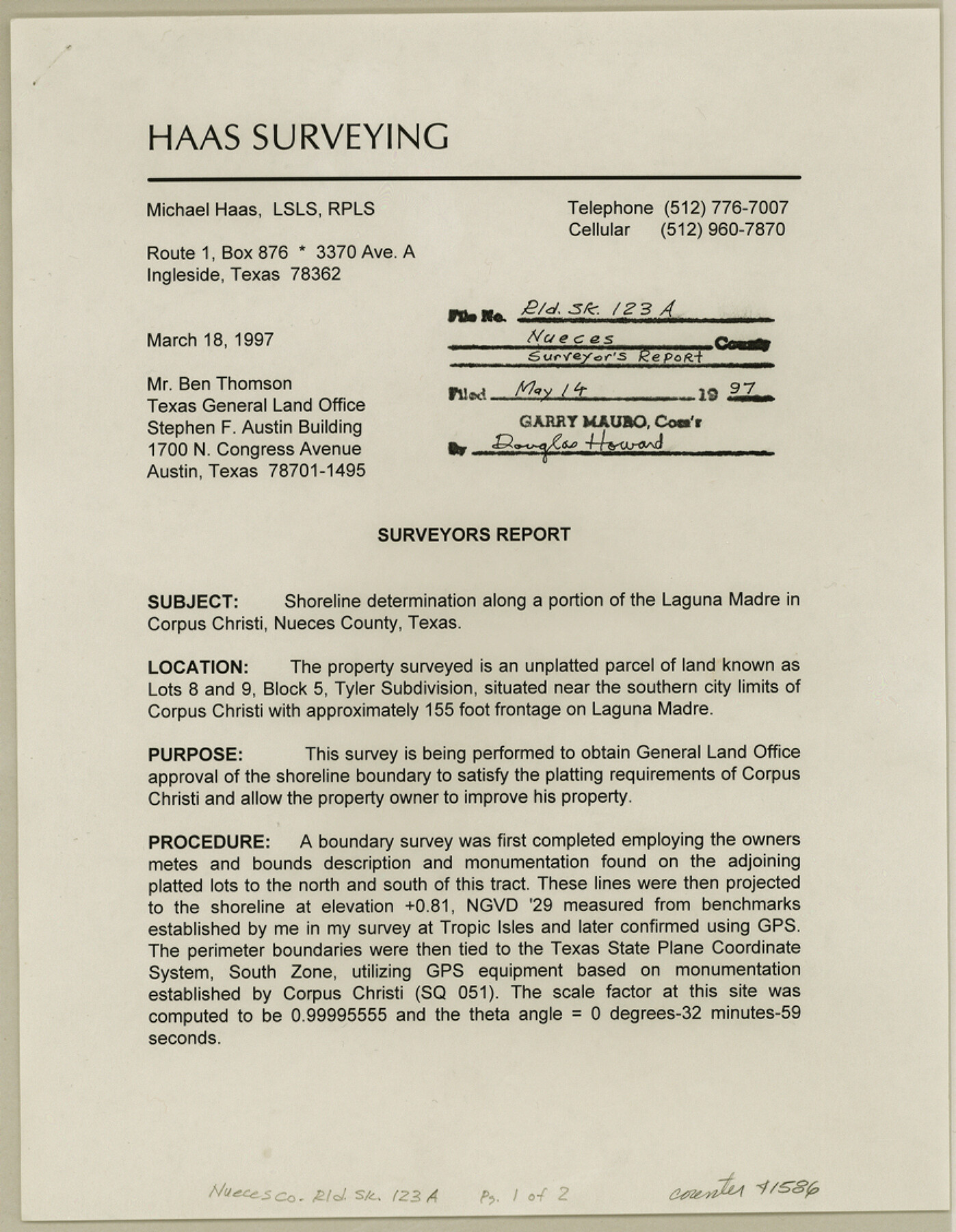
[Surveyor's report, site map, and correspondence regarding Lots 8 & 9, Block 5, Tyler Subdivision, being 0.529 acres of land out of Lot 25, section 52, Flour Bluff & Encinal Farm & Garden Tracts]
-
Map/Doc
41586
-
Collection
General Map Collection
-
Object Dates
1997/5/14 (File Date)
1997 (Creation Date)
-
Counties
Nueces
-
Subjects
Surveying Rolled Sketch
-
Height x Width
11.3 x 8.8 inches
28.7 x 22.4 cm
-
Medium
multi-page, multi-format
-
Comments
See Nueces County Rolled Sketch 123 (7158) for sketch.
Related maps
Nueces County Rolled Sketch 123

Print $20.00
- Digital $50.00
Nueces County Rolled Sketch 123
1997
Size 18.2 x 24.9 inches
Map/Doc 7158
Part of: General Map Collection
Runnels County Sketch File 21A

Print $20.00
Runnels County Sketch File 21A
1886
Size 17.5 x 20.5 inches
Map/Doc 12256
Baylor County Sketch File A5

Print $6.00
- Digital $50.00
Baylor County Sketch File A5
Size 10.4 x 8.8 inches
Map/Doc 14088
Burnet County Working Sketch 26

Print $20.00
- Digital $50.00
Burnet County Working Sketch 26
2016
Size 18.7 x 24.8 inches
Map/Doc 93979
[Sketch for Mineral Application 26501 - Sabine River, T. A. Oldhausen]
![2834, [Sketch for Mineral Application 26501 - Sabine River, T. A. Oldhausen], General Map Collection](https://historictexasmaps.com/wmedia_w700/maps/2834.tif.jpg)
Print $20.00
- Digital $50.00
[Sketch for Mineral Application 26501 - Sabine River, T. A. Oldhausen]
1931
Size 23.9 x 36.0 inches
Map/Doc 2834
Hall County Rolled Sketch 6

Print $20.00
- Digital $50.00
Hall County Rolled Sketch 6
Size 24.9 x 41.2 inches
Map/Doc 6050
Gillespie County Sketch File 13

Print $4.00
- Digital $50.00
Gillespie County Sketch File 13
1878
Size 8.4 x 10.9 inches
Map/Doc 24153
Kerr County Working Sketch 26

Print $20.00
- Digital $50.00
Kerr County Working Sketch 26
1969
Size 31.2 x 32.1 inches
Map/Doc 70057
Crockett County Sketch File 50a

Print $11.00
- Digital $50.00
Crockett County Sketch File 50a
Size 14.0 x 9.3 inches
Map/Doc 19807
McLennan County Boundary File 7

Print $8.00
- Digital $50.00
McLennan County Boundary File 7
Size 14.1 x 8.6 inches
Map/Doc 57005
Hardin County Sketch File 71

Print $94.00
- Digital $50.00
Hardin County Sketch File 71
1997
Size 11.4 x 8.8 inches
Map/Doc 25259
Sabine County Working Sketch 6

Print $20.00
- Digital $50.00
Sabine County Working Sketch 6
1918
Size 17.5 x 17.6 inches
Map/Doc 63677

You may also like
City and Harbor of Port Arthur Texas, Bird's Eye View Looking South to the Gulf of Mexico

Print $20.00
City and Harbor of Port Arthur Texas, Bird's Eye View Looking South to the Gulf of Mexico
1912
Size 17.4 x 39.9 inches
Map/Doc 93483
Part of Roberts County, construction of survey lines copied from official map in use in General Land Office

Print $20.00
- Digital $50.00
Part of Roberts County, construction of survey lines copied from official map in use in General Land Office
1923
Size 12.7 x 19.3 inches
Map/Doc 91773
Harris County Working Sketch 33

Print $20.00
- Digital $50.00
Harris County Working Sketch 33
1937
Size 21.4 x 20.6 inches
Map/Doc 65925
Brooks County Boundary File 3

Print $20.00
- Digital $50.00
Brooks County Boundary File 3
Size 42.1 x 6.6 inches
Map/Doc 50843
[Right of Way & Track Map, The Texas & Pacific Ry. Co. Main Line]
![64668, [Right of Way & Track Map, The Texas & Pacific Ry. Co. Main Line], General Map Collection](https://historictexasmaps.com/wmedia_w700/maps/64668.tif.jpg)
Print $20.00
- Digital $50.00
[Right of Way & Track Map, The Texas & Pacific Ry. Co. Main Line]
Size 11.0 x 18.4 inches
Map/Doc 64668
Shelby County Rolled Sketch 11

Print $20.00
- Digital $50.00
Shelby County Rolled Sketch 11
1945
Size 24.9 x 28.6 inches
Map/Doc 7779
[Surveys in Liberty County]
![69750, [Surveys in Liberty County], General Map Collection](https://historictexasmaps.com/wmedia_w700/maps/69750.tif.jpg)
Print $2.00
- Digital $50.00
[Surveys in Liberty County]
Size 5.8 x 9.3 inches
Map/Doc 69750
Jim Wells Co.

Print $20.00
- Digital $50.00
Jim Wells Co.
1966
Size 43.8 x 32.4 inches
Map/Doc 95548
Bandera County Rolled Sketch 11

Print $20.00
- Digital $50.00
Bandera County Rolled Sketch 11
Size 30.8 x 41.1 inches
Map/Doc 77503
![89627, [Blks. 46 & 47], Twichell Survey Records](https://historictexasmaps.com/wmedia_w700/maps/89627-1.tif.jpg)
Presidio County Sketch File H

Print $4.00
- Digital $50.00
Presidio County Sketch File H
Size 5.8 x 9.6 inches
Map/Doc 34431
Wichita County Boundary File 4

Print $20.00
- Digital $50.00
Wichita County Boundary File 4
Size 12.4 x 38.3 inches
Map/Doc 59914