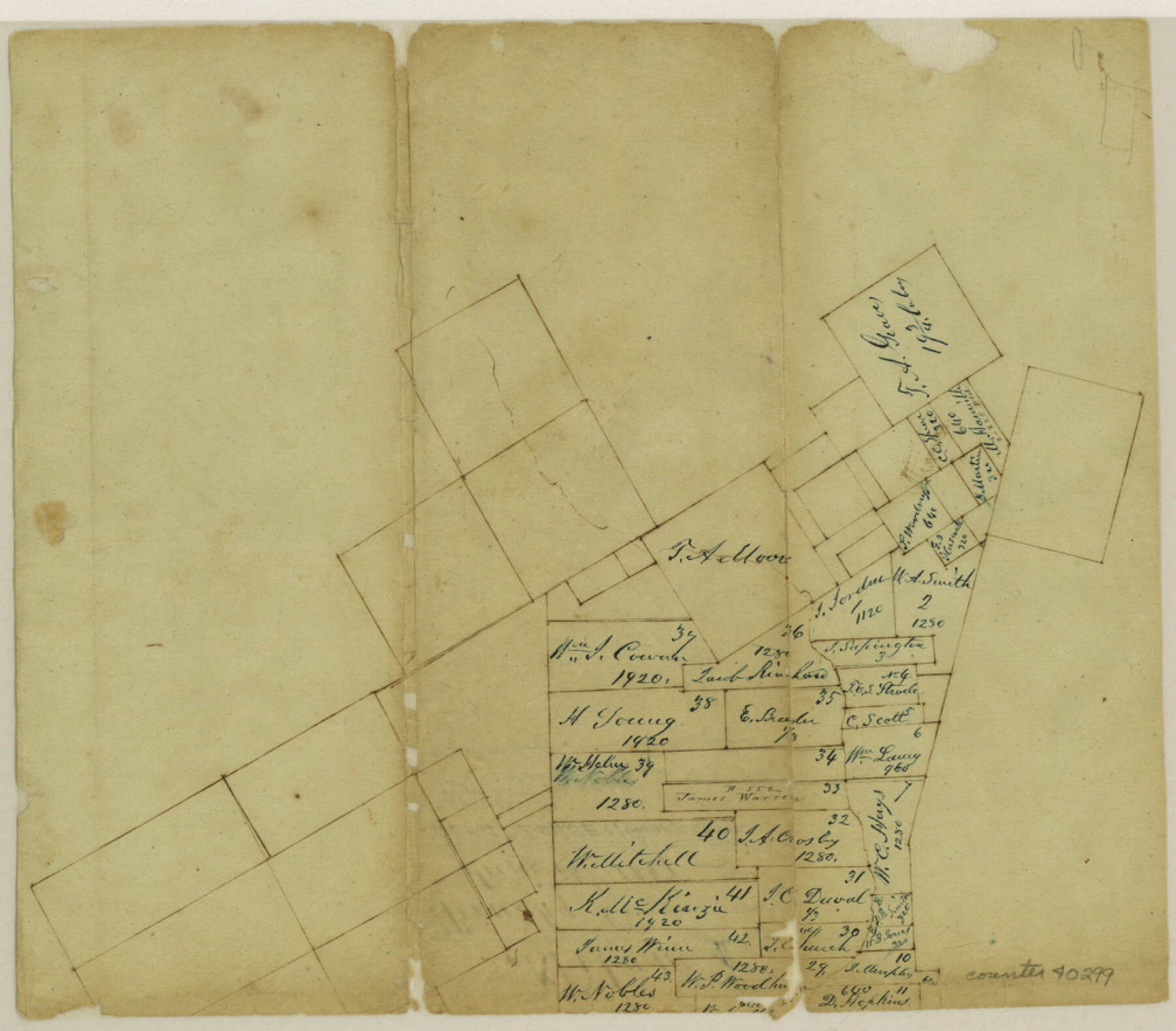
Williamson County Sketch File 1
[Sketch of surveys on Brushy Creek southeast from Georgetown]
-
Map/Doc
40299
-
Collection
General Map Collection
-
Object Dates
6/15/1847 (Creation Date)
-
Counties
Williamson
-
Subjects
Surveying Sketch File
-
Height x Width
8.8 x 10.1 inches
22.4 x 25.7 cm
-
Medium
paper, manuscript
-
Features
Brushy Creek
Part of: General Map Collection
Flight Mission No. DAG-21K, Frame 85, Matagorda County

Print $20.00
- Digital $50.00
Flight Mission No. DAG-21K, Frame 85, Matagorda County
1952
Size 18.5 x 22.3 inches
Map/Doc 86414
Fractional Township No. 8 South Range No. 15 East of the Indian Meridian, Indian Territory

Print $20.00
- Digital $50.00
Fractional Township No. 8 South Range No. 15 East of the Indian Meridian, Indian Territory
1896
Size 19.1 x 24.3 inches
Map/Doc 75227
Caldwell County Working Sketch 7

Print $20.00
- Digital $50.00
Caldwell County Working Sketch 7
1958
Size 29.7 x 37.2 inches
Map/Doc 67837
Nueces County Rolled Sketch 51B

Print $20.00
- Digital $50.00
Nueces County Rolled Sketch 51B
Size 17.6 x 16.0 inches
Map/Doc 6891
Brewster County Working Sketch 8

Print $20.00
- Digital $50.00
Brewster County Working Sketch 8
1910
Size 42.3 x 30.3 inches
Map/Doc 67541
Blanco County Sketch File 36

Print $8.00
- Digital $50.00
Blanco County Sketch File 36
1889
Size 11.2 x 8.8 inches
Map/Doc 14642
Jefferson County Sketch File 56

Print $34.00
- Digital $50.00
Jefferson County Sketch File 56
2007
Map/Doc 93427
Presidio County Sketch File S

Print $27.00
- Digital $50.00
Presidio County Sketch File S
1917
Size 14.3 x 8.8 inches
Map/Doc 34561
Louisiana and Texas Intracoastal Waterway - Gilchrist to Port Bolivar, Maintenance Dredging - Sheet 2

Print $20.00
- Digital $50.00
Louisiana and Texas Intracoastal Waterway - Gilchrist to Port Bolivar, Maintenance Dredging - Sheet 2
1937
Size 31.0 x 40.8 inches
Map/Doc 61821
Ochiltree County Rolled Sketch 1

Print $20.00
- Digital $50.00
Ochiltree County Rolled Sketch 1
1942
Size 29.3 x 38.8 inches
Map/Doc 9655
Parker County Working Sketch 15

Print $20.00
- Digital $50.00
Parker County Working Sketch 15
1982
Map/Doc 71465
Archer County Sketch File 13

Print $4.00
- Digital $50.00
Archer County Sketch File 13
Size 11.8 x 8.7 inches
Map/Doc 13648
You may also like
Ownership Map of Lynn County

Print $20.00
- Digital $50.00
Ownership Map of Lynn County
Size 34.5 x 36.1 inches
Map/Doc 92900

Map of Great Britain and Ireland engraved to illustrate Mitchell's school and family geography

Print $20.00
- Digital $50.00
Map of Great Britain and Ireland engraved to illustrate Mitchell's school and family geography
1840
Size 11.8 x 9.5 inches
Map/Doc 93503
Travis County Rolled Sketch 21

Print $20.00
- Digital $50.00
Travis County Rolled Sketch 21
1941
Size 16.2 x 14.7 inches
Map/Doc 8022
Crosby County Boundary File 1a

Print $32.00
- Digital $50.00
Crosby County Boundary File 1a
Size 12.8 x 8.1 inches
Map/Doc 51981
Current Miscellaneous File 104

Print $8.00
- Digital $50.00
Current Miscellaneous File 104
1845
Size 11.0 x 16.8 inches
Map/Doc 74677
Jefferson County Rolled Sketch 45

Print $20.00
- Digital $50.00
Jefferson County Rolled Sketch 45
1959
Size 31.2 x 27.3 inches
Map/Doc 6402
Palo Pinto County Working Sketch 19

Print $40.00
- Digital $50.00
Palo Pinto County Working Sketch 19
1975
Size 34.0 x 55.5 inches
Map/Doc 71402
Americæ Nova Tabula

Print $20.00
- Digital $50.00
Americæ Nova Tabula
Size 15.3 x 18.7 inches
Map/Doc 95827
Wilson County

Print $40.00
- Digital $50.00
Wilson County
1921
Size 39.6 x 48.5 inches
Map/Doc 73327
Zavalla County

Print $20.00
- Digital $50.00
Zavalla County
1879
Size 22.8 x 27.2 inches
Map/Doc 4182
Potter County Rolled Sketch 13

Print $20.00
- Digital $50.00
Potter County Rolled Sketch 13
2004
Size 18.4 x 23.4 inches
Map/Doc 82476