Wheeler County Sketch File 9
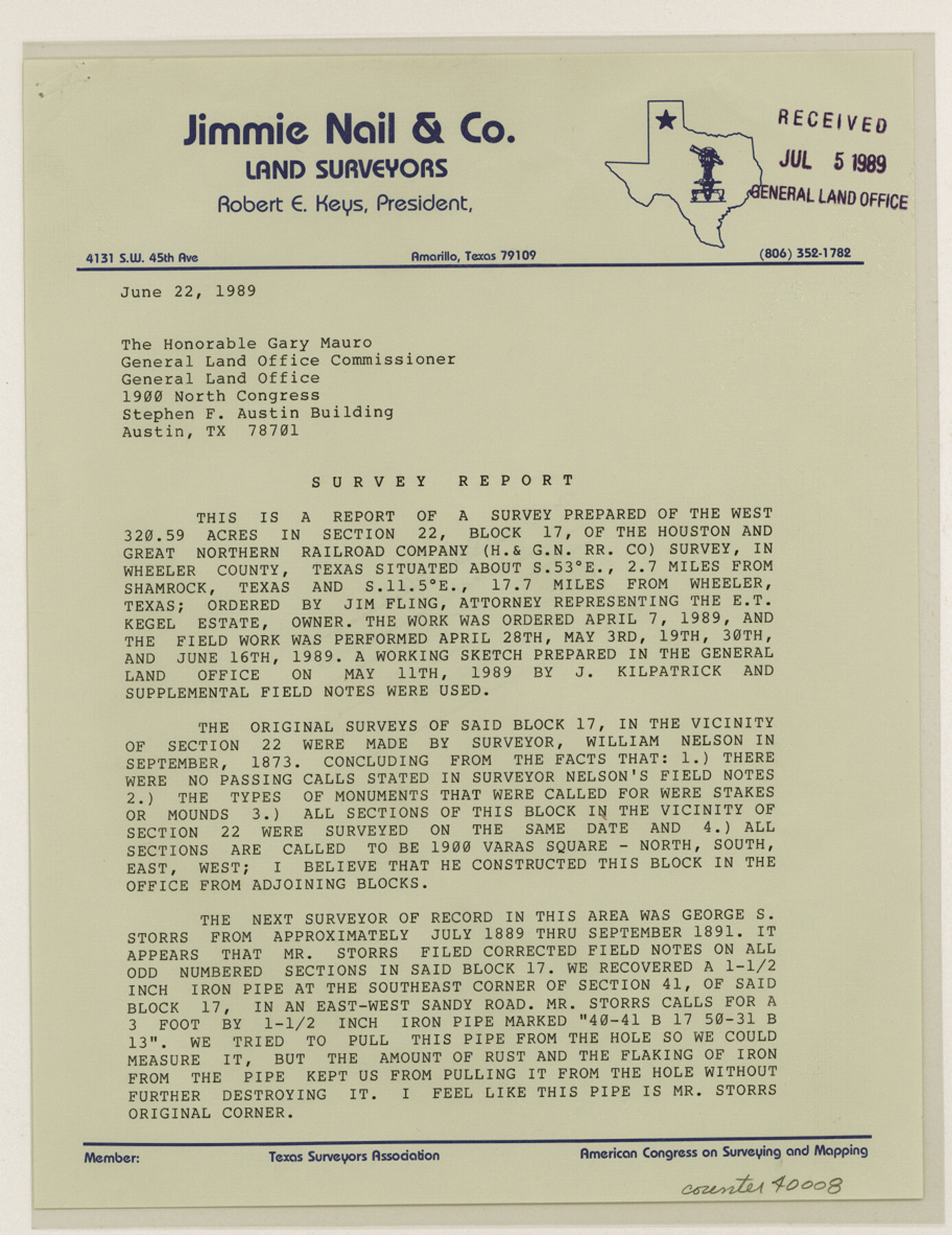
[Survey report regarding the west 320.59 acres in section 22, Block 17, H. & G. N. R.R. Co.]
-
Map/Doc
40008
-
Collection
General Map Collection
-
Object Dates
6/22/1989 (Creation Date)
7/5/1989 (File Date)
-
People and Organizations
Jimmie Nail (Surveyor/Engineer)
-
Counties
Wheeler
-
Subjects
Surveying Sketch File
-
Height x Width
11.8 x 9.1 inches
30.0 x 23.1 cm
-
Medium
multi-page, multi-format
Part of: General Map Collection
Hudspeth County Rolled Sketch 17

Print $40.00
- Digital $50.00
Hudspeth County Rolled Sketch 17
1886
Size 22.3 x 118.5 inches
Map/Doc 9203
Levee Improvement Districts Width of Floodways - South Sulphur River

Print $6.00
- Digital $50.00
Levee Improvement Districts Width of Floodways - South Sulphur River
1918
Size 19.6 x 34.1 inches
Map/Doc 65175
Knox County Boundary File 3

Print $54.00
- Digital $50.00
Knox County Boundary File 3
Size 8.9 x 7.7 inches
Map/Doc 65019
Grayson County Rolled Sketch 4

Print $20.00
- Digital $50.00
Grayson County Rolled Sketch 4
1953
Size 26.0 x 27.7 inches
Map/Doc 6031
Chambers County Sketch File 6

Print $4.00
- Digital $50.00
Chambers County Sketch File 6
1863
Size 9.1 x 8.5 inches
Map/Doc 17540
Old Miscellaneous File 38

Print $40.00
- Digital $50.00
Old Miscellaneous File 38
1841
Size 57.8 x 33.9 inches
Map/Doc 75282
Presidio County Working Sketch 123

Print $20.00
- Digital $50.00
Presidio County Working Sketch 123
1984
Size 39.5 x 17.7 inches
Map/Doc 71801
Flight Mission No. CRC-3R, Frame 199, Chambers County

Print $20.00
- Digital $50.00
Flight Mission No. CRC-3R, Frame 199, Chambers County
1956
Size 18.5 x 22.3 inches
Map/Doc 84854
Johnson's New Map of the State of Texas

Print $20.00
- Digital $50.00
Johnson's New Map of the State of Texas
1859
Size 18.6 x 26.8 inches
Map/Doc 89254
Flight Mission No. CGI-1N, Frame 166, Cameron County

Print $20.00
- Digital $50.00
Flight Mission No. CGI-1N, Frame 166, Cameron County
1955
Size 18.5 x 22.2 inches
Map/Doc 84501
Flight Mission No. DQN-2K, Frame 22, Calhoun County

Print $20.00
- Digital $50.00
Flight Mission No. DQN-2K, Frame 22, Calhoun County
1953
Size 16.9 x 18.9 inches
Map/Doc 84229
Robertson Co.

Print $20.00
- Digital $50.00
Robertson Co.
1945
Size 46.3 x 37.2 inches
Map/Doc 77409
You may also like
Outer Continental Shelf Leasing Maps (Texas Offshore Operations)

Print $20.00
- Digital $50.00
Outer Continental Shelf Leasing Maps (Texas Offshore Operations)
Size 23.4 x 13.0 inches
Map/Doc 75854
Palo Pinto County Working Sketch 20

Print $20.00
- Digital $50.00
Palo Pinto County Working Sketch 20
1977
Size 30.2 x 38.1 inches
Map/Doc 71403
Dimmit County Working Sketch 30

Print $20.00
- Digital $50.00
Dimmit County Working Sketch 30
1957
Size 22.2 x 26.0 inches
Map/Doc 68691

Pecos County Rolled Sketch 148

Print $20.00
- Digital $50.00
Pecos County Rolled Sketch 148
Size 30.3 x 42.6 inches
Map/Doc 7279
Limestone County Sketch File A

Print $40.00
- Digital $50.00
Limestone County Sketch File A
1833
Size 15.7 x 12.8 inches
Map/Doc 30149
Parker County Working Sketch 5

Print $20.00
- Digital $50.00
Parker County Working Sketch 5
1952
Map/Doc 71455
Milam County Working Sketch Graphic Index

Print $40.00
- Digital $50.00
Milam County Working Sketch Graphic Index
1975
Size 51.6 x 42.7 inches
Map/Doc 76642
Brazoria County NRC Article 33.136 Sketch 3

Print $20.00
- Digital $50.00
Brazoria County NRC Article 33.136 Sketch 3
2002
Size 40.6 x 29.6 inches
Map/Doc 77039
Outer Continental Shelf Leasing Maps (Louisiana Offshore Operations)

Print $20.00
- Digital $50.00
Outer Continental Shelf Leasing Maps (Louisiana Offshore Operations)
1955
Size 12.4 x 12.7 inches
Map/Doc 76086
Hamilton County Sketch File 23

Print $20.00
- Digital $50.00
Hamilton County Sketch File 23
1955
Size 25.8 x 24.8 inches
Map/Doc 11618
Culberson County Rolled Sketch 52

Print $20.00
- Digital $50.00
Culberson County Rolled Sketch 52
Size 19.2 x 25.1 inches
Map/Doc 5674