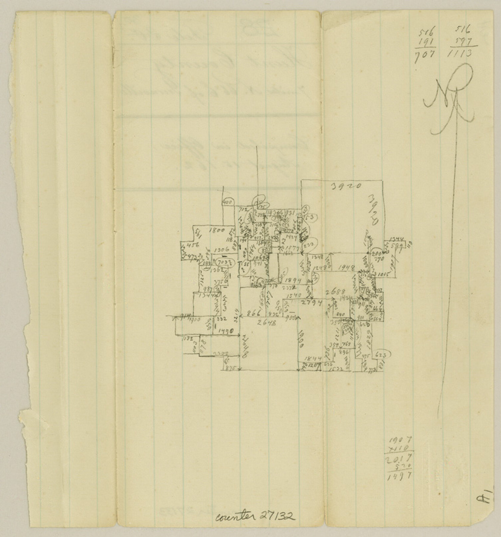
Hunt County Sketch File 30
[Sketch northeast of Greenville]
-
Map/Doc
27132
-
Collection
General Map Collection
-
Object Dates
8/15/1862 (Creation Date)
-
People and Organizations
Pressler (Surveyor/Engineer)
-
Counties
Hunt
-
Subjects
Surveying Sketch File
-
Height x Width
8.1 x 7.5 inches
20.6 x 19.1 cm
-
Medium
paper, manuscript
Part of: General Map Collection
Jasper County Working Sketch 2

Print $20.00
- Digital $50.00
Jasper County Working Sketch 2
Size 18.6 x 22.5 inches
Map/Doc 66464
Flight Mission No. BQY-4M, Frame 43, Harris County

Print $20.00
- Digital $50.00
Flight Mission No. BQY-4M, Frame 43, Harris County
1953
Size 18.6 x 22.3 inches
Map/Doc 85258
Matagorda County NRC Article 33.136 Sketch 7

Print $24.00
- Digital $50.00
Matagorda County NRC Article 33.136 Sketch 7
2010
Size 24.0 x 36.0 inches
Map/Doc 89997
Newton County Working Sketch 18

Print $20.00
- Digital $50.00
Newton County Working Sketch 18
1950
Size 14.3 x 13.6 inches
Map/Doc 71264
Duval County Rolled Sketch 45

Print $20.00
- Digital $50.00
Duval County Rolled Sketch 45
1982
Size 36.3 x 24.5 inches
Map/Doc 5760
Hutchinson County Rolled Sketch 36A

Print $20.00
- Digital $50.00
Hutchinson County Rolled Sketch 36A
1888
Size 21.3 x 25.0 inches
Map/Doc 6294
Presidio County Working Sketch 115

Print $20.00
- Digital $50.00
Presidio County Working Sketch 115
1981
Size 28.7 x 26.7 inches
Map/Doc 71792
Frio County Working Sketch 22

Print $20.00
- Digital $50.00
Frio County Working Sketch 22
1990
Size 24.9 x 33.9 inches
Map/Doc 69296
Pecos County Working Sketch 128

Print $20.00
- Digital $50.00
Pecos County Working Sketch 128
1975
Size 20.4 x 21.5 inches
Map/Doc 71602
A Topographical Map of the City of Austin

Print $20.00
- Digital $50.00
A Topographical Map of the City of Austin
1872
Size 20.6 x 15.1 inches
Map/Doc 93685
Hays County Working Sketch 4

Print $20.00
- Digital $50.00
Hays County Working Sketch 4
1928
Size 25.4 x 21.7 inches
Map/Doc 66078
Grimes County Rolled Sketch 2

Print $20.00
- Digital $50.00
Grimes County Rolled Sketch 2
Size 29.2 x 24.3 inches
Map/Doc 6043
You may also like
Map of Bexar County

Print $20.00
- Digital $50.00
Map of Bexar County
1879
Size 24.2 x 27.6 inches
Map/Doc 4508
[G. & M. Block 5]
![91793, [G. & M. Block 5], Twichell Survey Records](https://historictexasmaps.com/wmedia_w700/maps/91793-1.tif.jpg)
Print $20.00
- Digital $50.00
[G. & M. Block 5]
Size 34.9 x 17.2 inches
Map/Doc 91793
Jasper County Working Sketch 26

Print $20.00
- Digital $50.00
Jasper County Working Sketch 26
1953
Size 23.1 x 18.1 inches
Map/Doc 66488
Map Showing 949 3/10 Acres in the L. Brock, Sam Shupe, R. de la Pena, S. A. & G. M. RR. Surveys

Print $20.00
- Digital $50.00
Map Showing 949 3/10 Acres in the L. Brock, Sam Shupe, R. de la Pena, S. A. & G. M. RR. Surveys
1921
Size 19.5 x 14.9 inches
Map/Doc 92642
Rachford's Complete Map of the City of Beaumont

Print $20.00
- Digital $50.00
Rachford's Complete Map of the City of Beaumont
1897
Size 33.4 x 23.6 inches
Map/Doc 97355
[Capitol lands granted for purpose of building State Capitol]
![2073, [Capitol lands granted for purpose of building State Capitol], General Map Collection](https://historictexasmaps.com/wmedia_w700/maps/2073.tif.jpg)
Print $20.00
- Digital $50.00
[Capitol lands granted for purpose of building State Capitol]
1956
Size 31.5 x 13.0 inches
Map/Doc 2073
Plat Showing Subdivision of Wilbarger County School Land Hockley County, Texas

Print $20.00
- Digital $50.00
Plat Showing Subdivision of Wilbarger County School Land Hockley County, Texas
1947
Size 20.0 x 20.9 inches
Map/Doc 92255
Flight Mission No. DQO-3K, Frame 32, Galveston County

Print $20.00
- Digital $50.00
Flight Mission No. DQO-3K, Frame 32, Galveston County
1952
Size 18.7 x 22.5 inches
Map/Doc 85073
Flight Mission No. BQR-5K, Frame 67, Brazoria County

Print $20.00
- Digital $50.00
Flight Mission No. BQR-5K, Frame 67, Brazoria County
1952
Size 18.7 x 22.5 inches
Map/Doc 84012
![90513, [Capitol Lands], Twichell Survey Records](https://historictexasmaps.com/wmedia_w700/maps/90513-1.tif.jpg)
From Aransas Pass Eastward, Texas

Print $40.00
- Digital $50.00
From Aransas Pass Eastward, Texas
1866
Size 32.1 x 53.4 inches
Map/Doc 73427
Hamilton County Working Sketch 22

Print $20.00
- Digital $50.00
Hamilton County Working Sketch 22
1955
Size 41.6 x 19.0 inches
Map/Doc 63360