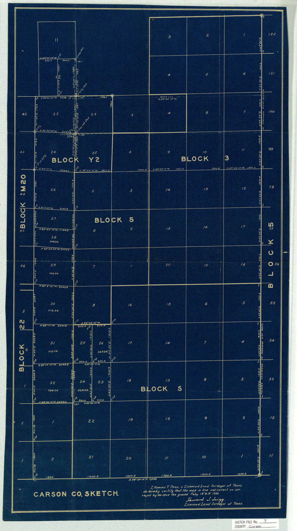
Carson County Sketch File 7
[Sketch of surveys in Block Y-2 in northwest part of the county]
-
Map/Doc
11056
-
Collection
General Map Collection
-
Object Dates
1930/2/18 (Survey Date)
1931/1/2 (File Date)
1930/2/19 (Survey Date)
-
People and Organizations
Howard T. Trigg (Surveyor/Engineer)
-
Counties
Carson
-
Subjects
Surveying Sketch File
-
Height x Width
26.7 x 15.0 inches
67.8 x 38.1 cm
-
Medium
blueprint/diazo
Part of: General Map Collection
Burnet County Sketch File 19

Print $4.00
- Digital $50.00
Burnet County Sketch File 19
1859
Size 11.6 x 8.2 inches
Map/Doc 16710
Montgomery County Sketch File 32

Print $10.00
- Digital $50.00
Montgomery County Sketch File 32
1933
Size 10.8 x 7.8 inches
Map/Doc 31888
Harris County Working Sketch 113

Print $20.00
- Digital $50.00
Harris County Working Sketch 113
1982
Size 28.6 x 40.7 inches
Map/Doc 66005
El Paso County Working Sketch 37

Print $20.00
- Digital $50.00
El Paso County Working Sketch 37
1983
Size 28.2 x 24.8 inches
Map/Doc 69059
Flight Mission No. BRA-7M, Frame 178, Jefferson County

Print $20.00
- Digital $50.00
Flight Mission No. BRA-7M, Frame 178, Jefferson County
1953
Size 18.6 x 22.4 inches
Map/Doc 85546
Flight Mission No. CGI-3N, Frame 98, Cameron County

Print $20.00
- Digital $50.00
Flight Mission No. CGI-3N, Frame 98, Cameron County
1954
Size 18.5 x 22.1 inches
Map/Doc 84578
Irion County Rolled Sketch 20

Print $20.00
- Digital $50.00
Irion County Rolled Sketch 20
1936
Size 26.3 x 42.7 inches
Map/Doc 6329
Map of McCulloch County

Print $20.00
- Digital $50.00
Map of McCulloch County
1858
Size 26.6 x 22.4 inches
Map/Doc 3855
Hardin County Sketch File 5

Print $5.00
- Digital $50.00
Hardin County Sketch File 5
1856
Size 9.0 x 6.6 inches
Map/Doc 25092
Somervell County

Print $20.00
- Digital $50.00
Somervell County
1941
Size 29.2 x 27.1 inches
Map/Doc 95642
Throckmorton County Boundary File 2

Print $34.00
- Digital $50.00
Throckmorton County Boundary File 2
Size 8.3 x 5.7 inches
Map/Doc 59264
Terrell County Working Sketch 48

Print $40.00
- Digital $50.00
Terrell County Working Sketch 48
1958
Size 59.3 x 42.2 inches
Map/Doc 62141
You may also like
Right of Way and Track Map International & Gt Northern Ry. operated by the International & Gt. Northern Ry. Co., San Antonio Division

Print $40.00
- Digital $50.00
Right of Way and Track Map International & Gt Northern Ry. operated by the International & Gt. Northern Ry. Co., San Antonio Division
1917
Size 25.9 x 57.5 inches
Map/Doc 64588
Montgomery Co.

Print $20.00
- Digital $50.00
Montgomery Co.
1840
Size 34.0 x 30.8 inches
Map/Doc 3191
Colorado County Rolled Sketch 6

Print $20.00
- Digital $50.00
Colorado County Rolled Sketch 6
1976
Size 12.9 x 20.3 inches
Map/Doc 5533
[Garza, Blanco, Uvalde and Crosby County School Land]
![90252, [Garza, Blanco, Uvalde and Crosby County School Land], Twichell Survey Records](https://historictexasmaps.com/wmedia_w700/maps/90252-1.tif.jpg)
Print $20.00
- Digital $50.00
[Garza, Blanco, Uvalde and Crosby County School Land]
1913
Size 12.4 x 12.2 inches
Map/Doc 90252
Terrell County Working Sketch 35a

Print $20.00
- Digital $50.00
Terrell County Working Sketch 35a
1948
Size 26.4 x 45.1 inches
Map/Doc 62128
Outer Continental Shelf Leasing Maps (Louisiana Offshore Operations)

Print $20.00
- Digital $50.00
Outer Continental Shelf Leasing Maps (Louisiana Offshore Operations)
1955
Size 15.9 x 10.8 inches
Map/Doc 76082
Kimble County Sketch File C

Print $4.00
- Digital $50.00
Kimble County Sketch File C
Size 14.9 x 7.5 inches
Map/Doc 28965
Presidio County Working Sketch 114

Print $40.00
- Digital $50.00
Presidio County Working Sketch 114
1981
Size 63.9 x 37.9 inches
Map/Doc 71791
Galveston County NRC Article 33.136 Sketch 77

Print $44.00
- Digital $50.00
Galveston County NRC Article 33.136 Sketch 77
2015
Size 24.0 x 36.0 inches
Map/Doc 94991
Fayette County Working Sketch 3

Print $20.00
- Digital $50.00
Fayette County Working Sketch 3
1980
Size 29.0 x 36.3 inches
Map/Doc 69167
Jeff Davis County Working Sketch 45

Print $20.00
- Digital $50.00
Jeff Davis County Working Sketch 45
1990
Size 27.8 x 38.1 inches
Map/Doc 66540
Galveston County Sketch File 23

Print $4.00
- Digital $50.00
Galveston County Sketch File 23
Size 13.9 x 8.6 inches
Map/Doc 23394